Site Search

Hiking Calendar

Whitehorse Lollipop – Intermediate / Easier option

Triunfo Community Park 1869 Tamarack St., Westlake Village, ca, US

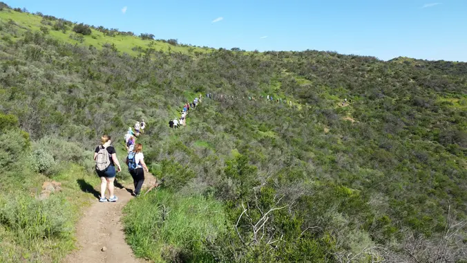
**Intermediate, 5.25 mi, 1000' gain** **Easy Option: 2.8 mi, 700' gain.** Fit beginners can complete this hike, but it will certainly get their blood pumping. This is not a conditioning hike, it's a social hike. We'll be stopping at various points to let people catch up and to make sure they make any turns. We'll […]

JACKSON LAKE LOOP – A 7.6 MILE 1500′ GAIN HIKE

Jackson Lake California, CA, US

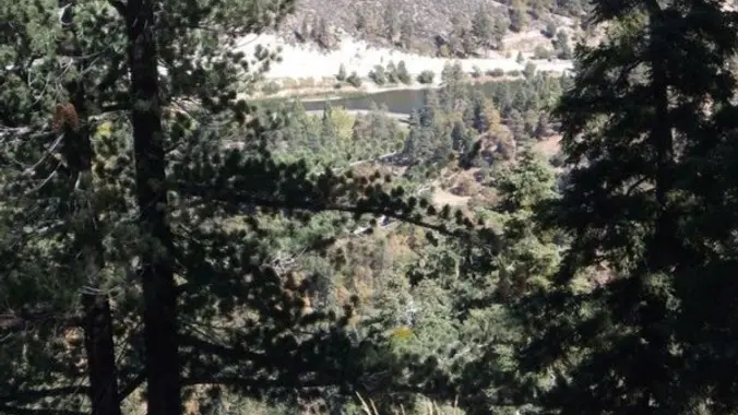
BEFORE YOU WILL BE MOVED TO THE GOING LIST, YOU WILL NEED TO UPDATE YOUR CDH PROFILE (The three questions must be answered with a "yes") IF YOU HAVE NOT ALREADY DONE SO. NEED HELP: (go to: https://wp.me/P9MbG4-hC)](http://[go%20to:%20https//wp.me/P9MbG4-hC%5D(go%20to:%20https://wp.me/P9MbG4-hC)) The route has single and wide track trails. The views along the way are spectacular. Starting from […]

The California Monarch Butterflies’ recovery from near-extinction

Online event

Join a virtual presentation by butterfly educator Betina Loudermilk who will discuss the factors that spurred West Coast monarch butterflies’ miraculous population recovery in 2022 from near-extinction in prior years. She will also discuss her own 7-year effort to create a (https://www.betinaslittlefarm.com/) and offer information and tips for attendees who want to do the same. […]

Happy Camp – Suitable for beginners

Happy Camp 15100 Happy Camp Canyon Road, Moorpark, CA, US

**Beginner, 5 miles, 500' gain** This hike is entirely fire-road and is almost completely flat. Some of this trail is sandy, so walking it at times can be more difficult. There are a lot of different interesting plants on this hike. From the trail head, we walk along the fire road next to the golf […]

Eagle Rock via Garapito

Marvin Braude Mulholland Gateway Park 3600 Reseda Blvd, Tarzana, CA, US

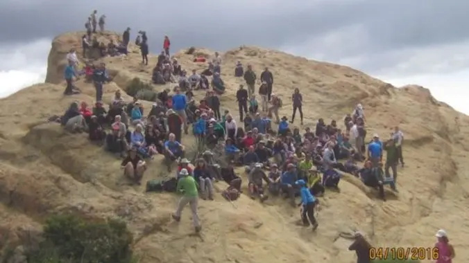
*Waitlisted. Hike will be at "beat the heat!" pace. Put yourself on the list and I will add you if I feel you can complete at the group's pace safely. Distance: <8 Out- and- back Elevation Gain: 1750 Rating: 5/10 Not for beginners, no sweeper Don's write up Eagle Rock, located in Topanga SP, is […]

Mount San Antonio and Mount Baldy Notch Trail

Mt Baldy Trailhead 901-993 Falls Rd, Mt Baldy, CA, US

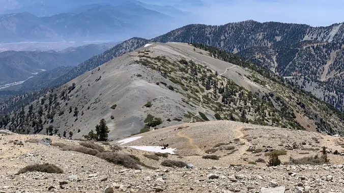
https://www.alltrails.com/trail/us/california/mount-san-antonio-mount-baldy-notch-trail Hello Fellow Hikers, Okay if you haven't done Mount San Antonio before you are in for a treat! This is my favorite route up Mount Baldy. We will be taking the Ski Hut trail to Baldy Bowl then onto the ridge to the top of Mount San Antonio 10,069 ft. Once on top we […]

5 Year – Hike and Picnic celebration

Corriganville Park 7100 Smith Rd., Simi Valley, CA, US

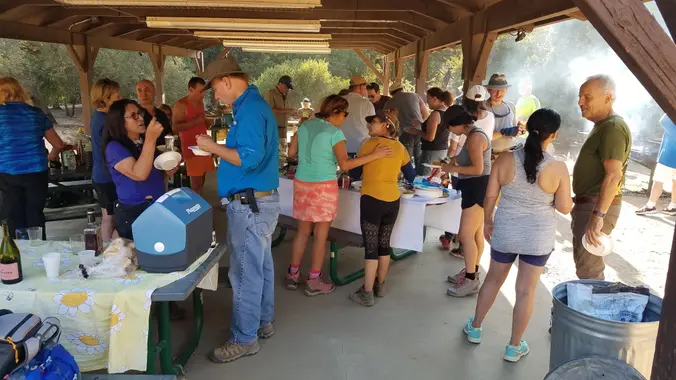
**(https://www.meetup.com/Hiking-Plus/messages/boards/thread/50879781)** **Easy Option: 1/2 mi, flat** We've formed a lot of strong bonds since this group was started and it has served its purpose well. Let's get together to celebrate this. This is the famous (http://www.rsrpd.org/simi_valley/trails/cooriganville_movie_ghost_town.php), previously the Corriganville Movie Ranch. This is not only a great place for hiking, but there are picnic tables, […]

ALASKA MIDNIGHT SUN ADVENTURE

Let's go on an 11 day-trip to see one of the most beautiful and fascinating places in the U.S., Alaska, the final frontier, and one of the most fascinating natural phenomena: The Midnight Sun. CLICK HERE TO LEARN MORE AND SIGN UP: https://www.1000treks.com/trips/alaska-midnight-sun-adventure We will be going exactly on Summer Solstice, which is the longest […]

EBIKE RIDE – RIDGE LINE OVER LOOKING SANTA BARBARA – East Camino Cielo Rd.

17000 Pacific Coast Hwy 17000 Pacific Coast Hwy, Pacific Palisades, CA, US

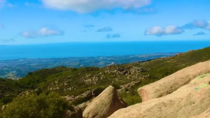
BEFORE YOU WILL BE MOVED TO THE GOING LIST, YOU WILL NEED TO UPDATE YOUR CDH PROFILE (The three questions must be answered with a "yes") IF YOU HAVE NOT ALREADY DONE SO. NEED HELP: (go to: https://wp.me/P9MbG4-hC)]((go to: https://wp.me/P9MbG4-hC)) EBIKE RIDE ALONG THE PAVED AND UNPAVED W. CAMINO CIELO ROAD ON THE RIDGELINE ABOVE […]


Trail statistics are approximate. For safety purposes always assume they are underestimated. But don’t be disappointed if they are overestimated. Bring more water and snacks than you think you’ll need.

Trail descriptions are based on previous hikes. Current conditions are unknown until arrival. Expect the unexpected and plan accordingly.

The Organizers and members of Hiking With Dean are not professional leaders, guides, or mountaineers. The function of the member or organizer is only to organize the trip. Each person who shows up for a trip/meetup (and their guest or guests) is responsible for his or her own safety. By attending a hike, or any other event organized by this group, you are acknowledging that you and any guests that you bring are aware of the risks, dangers and hazards associated with the activity and freely accept and fully assume all such risks, dangers and hazards, and further agree to release and discharge the Organizers, Members of the Hiking With Dean Meetup Group from and against any and all liability arising from your participation in the group activities per our ASSUMPTION OF RISK AND LIABILITY WAIVER and Section 6.2 of the Meetup.com Terms of Service.