Site Search

Hiking Calendar

Josephine Peak via Colby Canyon – A Loop Hike

Colby Canyon Trailhead 701 Angeles Crest Hwy, Tujunga, CA, US

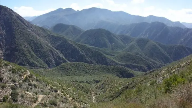
By special request.... Want to hike to a mile-high summit in the San Gabriel Mountains with grand views over Los Angeles? Set your calendar for Josephine Peak via Colby Canyon in the front range of the San Gabriel Mountains. Starting on Angeles Hwy, we'll be taking the scenic rout to the summit ascending Colby Canyon […]

Potrero – All paved – Easy Intermediate

4161 Potrero Rd 4161 Potrero Rd, Thousand Oaks, CA, US

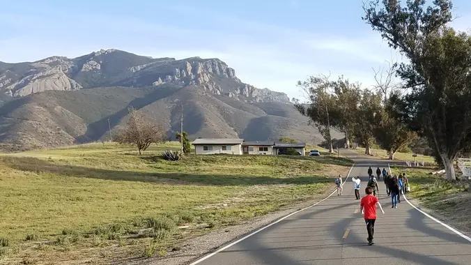
5.75 miles, 700' gain. Easy Intermediate. Do not park on Potrero else risk getting a ticket. You need a permit to park on this street. This hike is a great trail when it might be muddy because almost the entire hike is on an asphalt path through a huge state park (> 20 sq miles). […]

Inspiring & Challenging Steep Moonlight Hike: Mission Peak Loop in Granada Hills

18000 Sesnon Blvd 18000 Sesnon Blvd, Granada Hills, CA, US

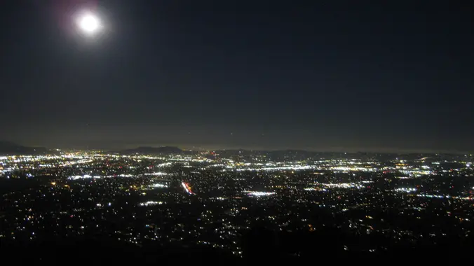
STATS Difficulty: 4/10, Steep up & down, with some slippery spots Length: 3 miles, 2 hours plus breaks Elevation Gain & Loss: 1225’; Peak: 2700’ View: Amazing 360 View of Valleys and Mountains Details: This hike has some STEEP moments but has a bench at the top to relax on. We made a new uphill […]

Pentachaeta loop Trail in Triunfo Canyon Park + a bit of the LVR overlook trail

Pentachaeta Trail Head in Triunfo Canyon Park 32176 Triunfo Canyon Rd, Westlake Village, CA, US

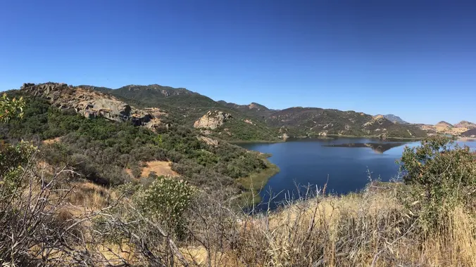
BEFORE YOU WILL BE MOVED TO THE GOING LIST, YOU WILL NEED TO UPDATE YOUR CDH PROFILE (The three questions must be answered with a "yes") IF YOU HAVE NOT ALREADY DONE SO. NEED HELP: go to: https://wp.me/P9MbG4-hC A LOCAL, BUT A BIT OF A CHALLENGING TREK We'll do the regular Pentachaeta Trail loop plus […]

Sudden Hike ~ Skyline Trail in Honor of Don T.

Skyline Trailhead 300 South Via Montana, Burbank, CA, US

For those who never had the pleasure of hiking with Don, I can't say enough about what a remarkable person he was and what a profound influence he had on so many lives - how much he put into grow the group, make it uniquely his own and fill our weekends with memorable adventures, all […]

Dos Vientos – Easy Intermediate

Dos Vientos Community Park 4801 Borchard Road, Newbury Park, CA, US

5.2 miles, 1140' gain, easy-intermediate. Warning: Google Maps may take you to the incorrect location, although the address is correct. Please follow the written directions. The hike starts on the Park View trail, completely flat along a gravel track that moves around the Dos Vientos Community park. It then gently rises into the surrounding hills, […]

CONEJO VALLEY BOTANIC GARDEN – The start of a botanical garden series

Conejo Valley Botanic Garden 400 W Gainsborough Rd, Thousand Oaks, CA, US

BEFORE YOU WILL BE MOVED TO THE GOING LIST, YOU WILL NEED TO UPDATE YOUR CDH PROFILE (The three questions must be answered with a "yes") IF YOU HAVE NOT ALREADY DONE SO. NEED HELP: go to: (https://wp.me/P9MbG4-hC) Between The Oaks Mall and the mountains and the freeway and the green way, lies one of […]

ECHO MTN & INSPIRATION POINT- THE BACKCOUNTRY ROUTE

Cobb Estate Hike 3302 Lake Ave, Altadena, CA, US

BEFORE YOU WILL BE MOVED TO THE GOING LIST, YOU WILL NEED TO UPDATE YOUR CDH PROFILE (The three questions must be answered with a "yes") IF YOU HAVE NOT ALREADY DONE SO NEED HELP: go to: (https://wp.me/P9MbG4-hC) We will start hiking on the Lower San Merril, then go off trail scrambling up to Echo […]


Trail statistics are approximate. For safety purposes always assume they are underestimated. But don’t be disappointed if they are overestimated. Bring more water and snacks than you think you’ll need.

Trail descriptions are based on previous hikes. Current conditions are unknown until arrival. Expect the unexpected and plan accordingly.

The Organizers and members of Hiking With Dean are not professional leaders, guides, or mountaineers. The function of the member or organizer is only to organize the trip. Each person who shows up for a trip/meetup (and their guest or guests) is responsible for his or her own safety. By attending a hike, or any other event organized by this group, you are acknowledging that you and any guests that you bring are aware of the risks, dangers and hazards associated with the activity and freely accept and fully assume all such risks, dangers and hazards, and further agree to release and discharge the Organizers, Members of the Hiking With Dean Meetup Group from and against any and all liability arising from your participation in the group activities per our ASSUMPTION OF RISK AND LIABILITY WAIVER and Section 6.2 of the Meetup.com Terms of Service.