

Ansel Adams/Minarets early season
ANSEL ADAMS & MINARETS: Early season hike around the Minarets area. Enter via Red Cones near Mammoth (does not require that the Reds Meadow Road be open). Loop route past […]

ANSEL ADAMS & MINARETS: Early season hike around the Minarets area. Enter via Red Cones near Mammoth (does not require that the Reds Meadow Road be open). Loop route past […]
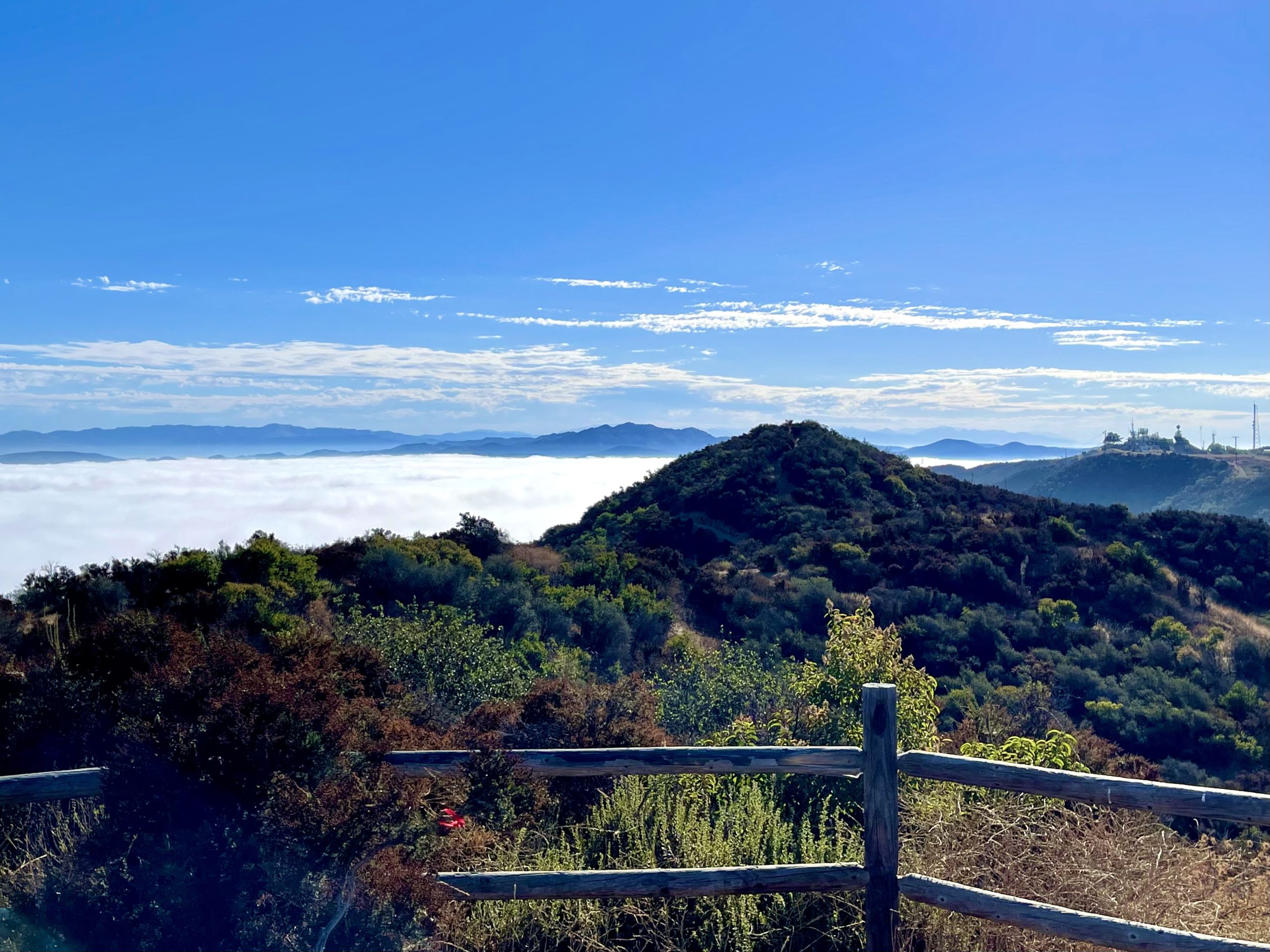
We will start our hike near the beginning of Regal Oak Ct. on the lower Rosewood Trail, a dirt trail heading up a shaded ravine at the base of the mountains, and continue to the usual Rosewood trail. Rosewood trail presents a clear view over the 101 Freeway carving up the Conejo Valley. This is […]
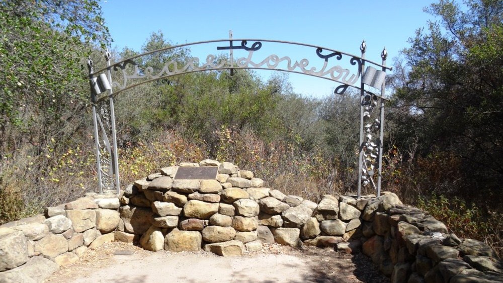
Let's head out to the famed Peace, Love, Joy arch at the Danielson. This out and back hike wanders through grasslands and chaparral from the Rancho Sierra Vista trailhead, then climbs up Danielson fire road for some fantastic views north to Port Hueneme and Oxnard and west toward the Pacific Ocean. If it's really clear, […]
http://photos2.meetupstatic.com/photos/event/b/0/e/c/event_80025292.jpeg Since the trail has been redesigned and is now about 8 1/2 miles, we will stop at Ventu Park Road for our break. PLEASE NOTE: Don't show up unless […]
Note 8:30am start time! This hike will loop around the periphery of Dos Vientos Open Space, passing Twin Ponds, overlooking Potrero Road and the Oxnard Plain with the Channel Islands in the background. We will cross 3 streets along the way. This hike is about 6.0 miles with 1,000 feet of elevation gain. Pace: This […]
Note 8:30am start time! This hike will loop around the periphery of Dos Vientos Open Space, passing Twin Ponds, overlooking Potrero Road and the Oxnard Plain with the Channel Islands in the background. We will cross 3 streets along the way. This hike is about 5.0 miles with 800 feet of elevation gain. Pace: This […]
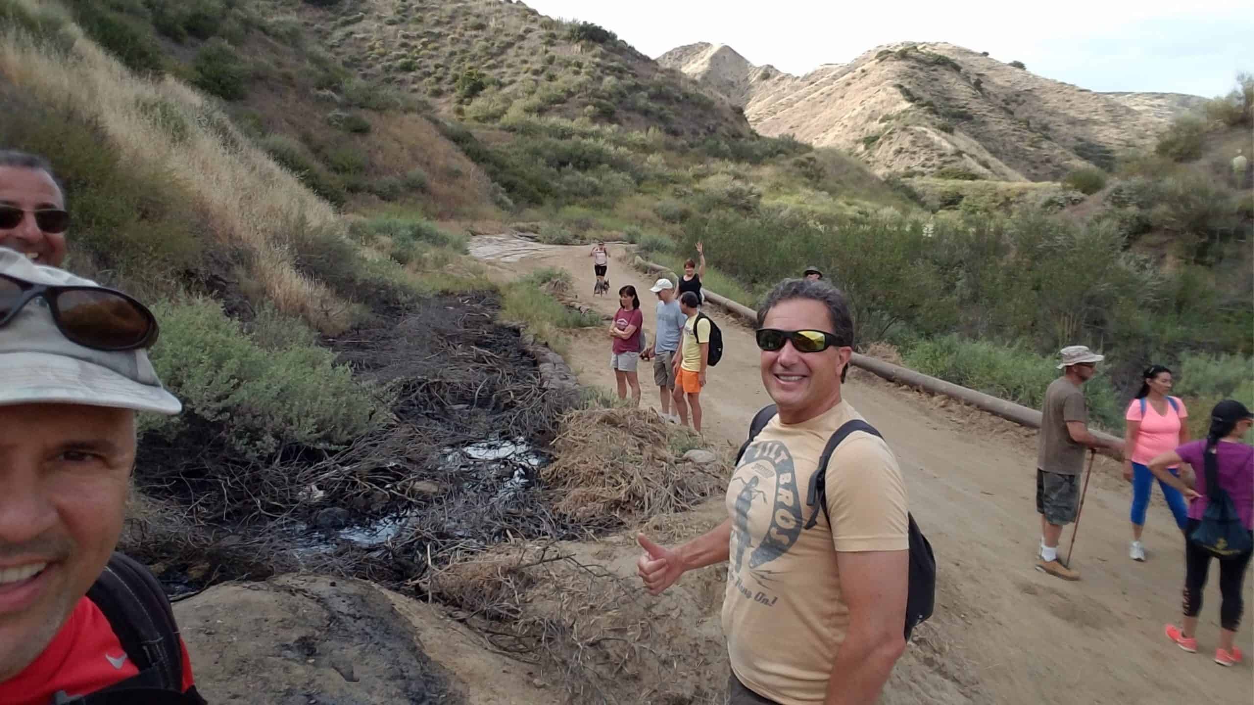
4.75 miles, 700' gain, easy-intermediate Option for 3 miles, 300' gain, easy. This is a link to the route: LINK We start with a 1/4 mile walk from where we park along Cottonwood Dr, to the trail head. There we make a left and take a relatively flat section and hike for about 3/4 mile. […]
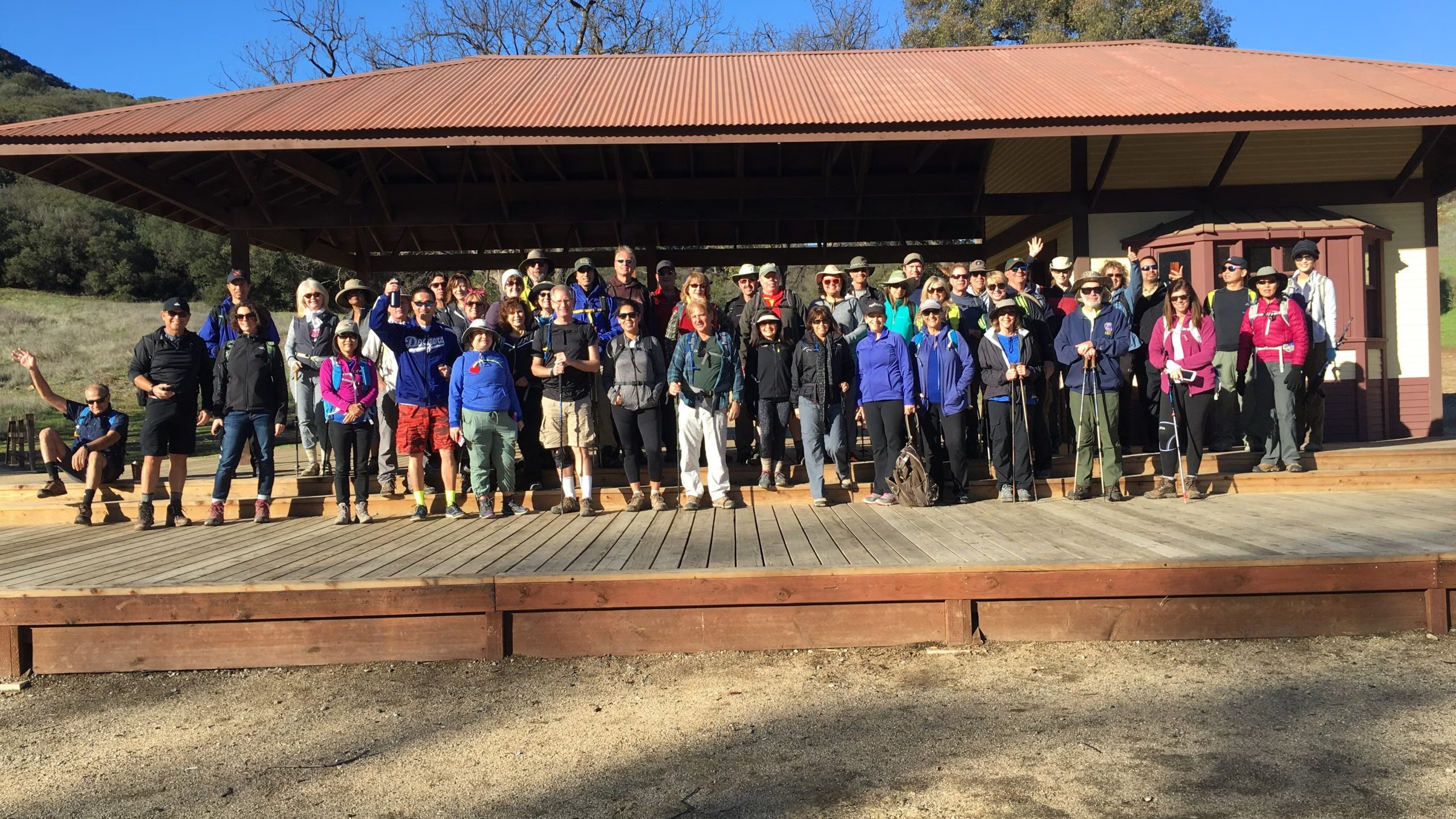
A new old west is rising! Let's check out the rebuilding progress of the famous Old Western Town at Paramount Ranch with this easy hike. 📽️As many of you know, […]

Join us at Sports Basement OC for a fun opportunity to see and test lots of gear demos, take advantage of special offers and attend clinics. One of the clinics […]
Trail statistics are approximate. For safety purposes always assume they are underestimated. But don’t be disappointed if they are overestimated. Bring more water and snacks than you think you’ll need. Trail descriptions are based on previous hikes. Current conditions are unknown until arrival. Expect the unexpected and plan accordingly. The Organizers and members of Hiking With Dean are not professional leaders, guides, or mountaineers. The function of the member or organizer is only to organize the trip. Each person who shows up for a trip/meetup (and their guest or guests) is responsible for his or her own safety. By attending a hike, or any other event organized by this group, you are acknowledging that you and any guests that you bring are aware of the risks, dangers and hazards associated with the activity and freely accept and fully assume all such risks, dangers and hazards, and further agree to release and discharge the Organizers, Members of the Hiking With Dean Meetup Group from and against any and all liability arising from your participation in the group activities per our ASSUMPTION OF RISK AND LIABILITY WAIVER and Section 6.2 of the Meetup.com Terms of Service. |

Recent Comments