
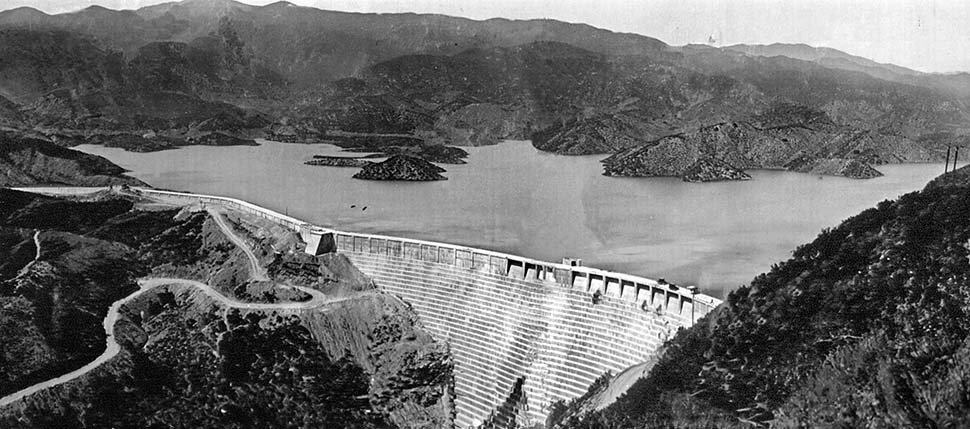
SPECIAL HISTORICAL HIKE TO THE ST. FRANCIS DAM DISASTER NATIONAL MEMORIAL SITE
Due to the inclement weather over the past few days, the forest is currently closed. As a result, we will need to postpone our hike. We are tentatively planning to […]

Due to the inclement weather over the past few days, the forest is currently closed. As a result, we will need to postpone our hike. We are tentatively planning to […]
NEW DATE Beginning the hike at the U-Vanu Trail on Viewcrest Drive immediately gives the outing a quieter, more residential feel than the main Fryman Canyon entrances. The trail slips gently away from the street and begins a steady climb through chaparral and low brush, with filtered views back toward the San Fernando Valley opening […]
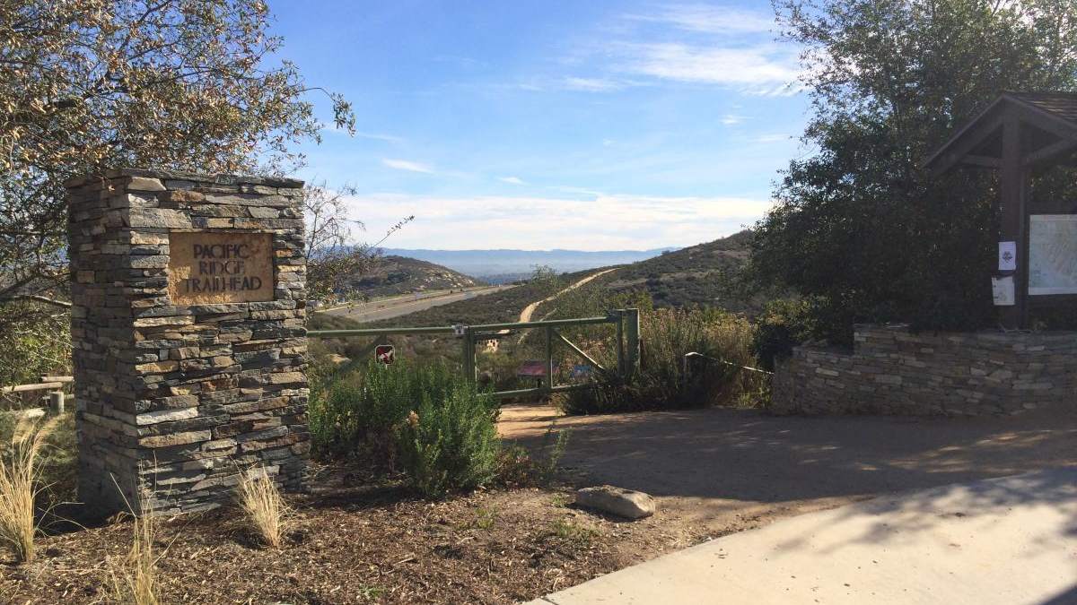
The total distance for this hike is 4.5 miles with about 650 ft. of elevation gain. There are great mountain and ocean views along the ridge. We are going to start on Bommer Ridge Trail and take this to Lizard Trail. We will go down that and loop back up to Bommer via Upper Laurel. […]
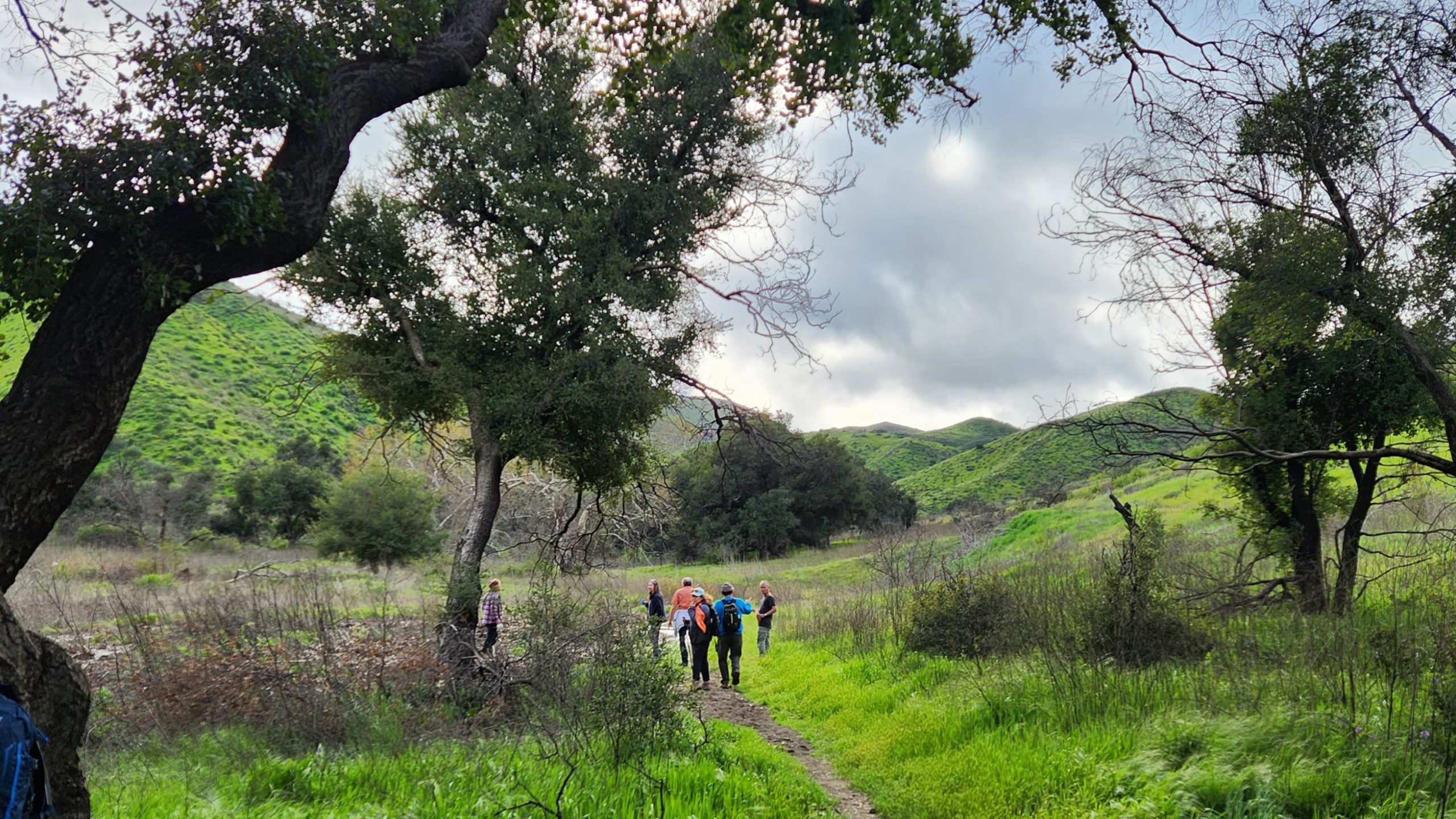
4.2 miles, 700' gain, easy-intermediate. Easier option: 2.7 miles, 500' gain, fit beginner. This is a pot-luck hike. We'll be stopping at the 3/4 point by a picnic table, so […]
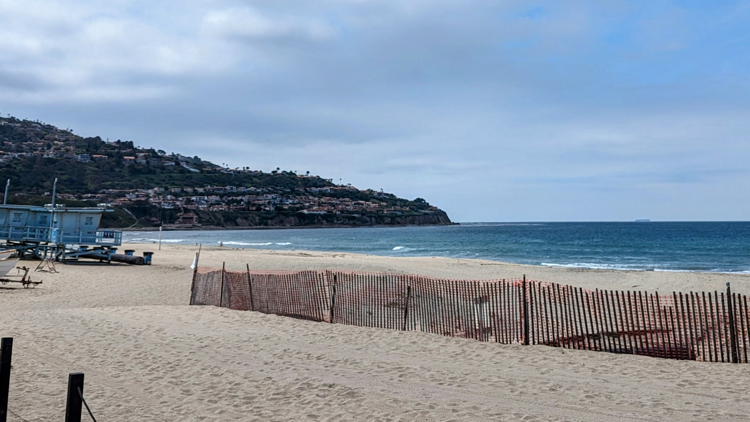
A round trip on the entirety of the Marvin Braude Bike Path for a total of 44 miles. DETAILS: ROUTE: BIKE RIDE DESCRIPTION: This E_Bike ride will be on the […]

This hike will start at Brakey Rd (which is parallel with the Ventura Botanical Gardens) near the parking lot. Then, we will gradually hike up to the top of the […]
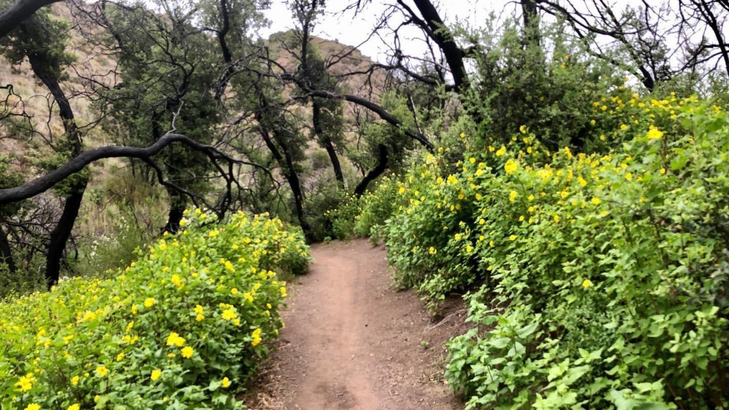
I love that this description is our standard dry days one....this time, we should see multiple falls and especially Upper Zuma Falls! Yay! We'll detour down there as an option […]
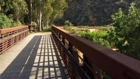
5.3 miles, 600' gain, Easy-Intermediate 2.5 miles, 100' gain, Beginner We start by crossing a bridge into a wooded area and continue down a relatively flat path alongside a stream. […]
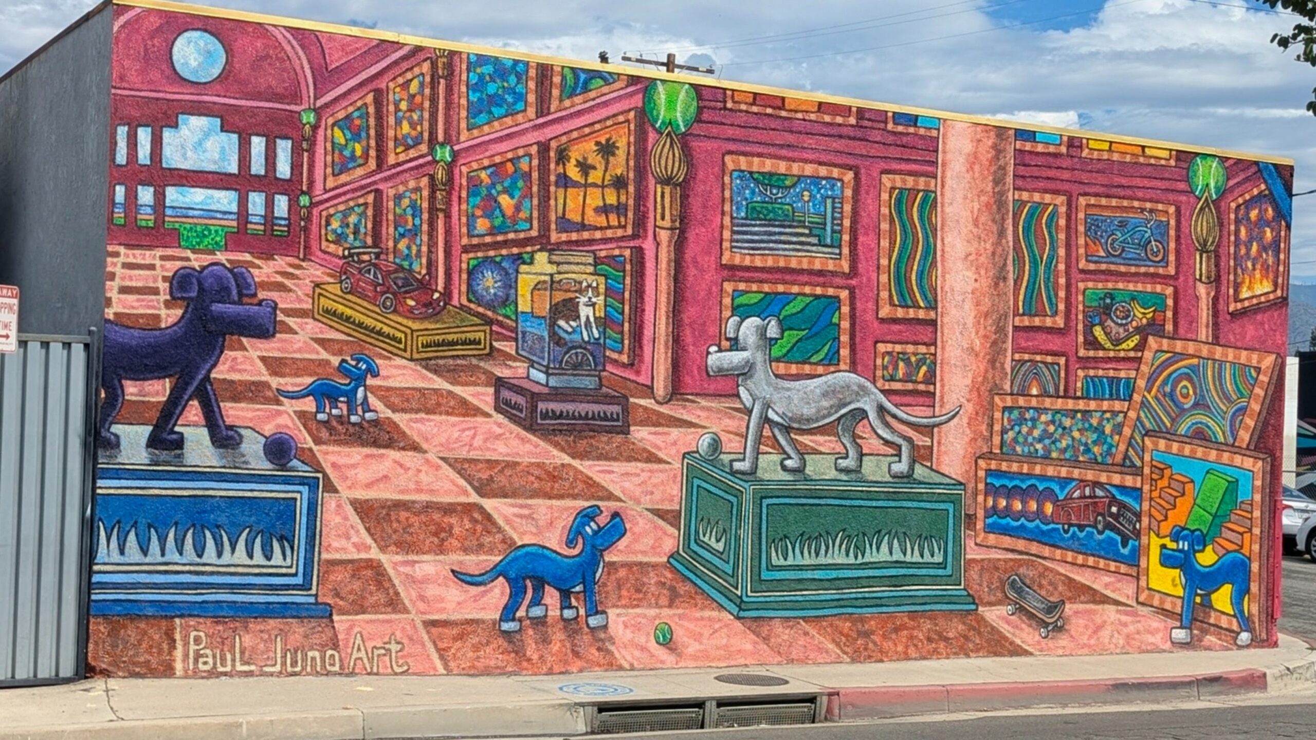
BIKE RIDE FROM LAKE BALBOA TO BURBANK AND BACK This is an easy event for a change which has very little elevation gain with a great place to have breakfast […]
Trail statistics are approximate. For safety purposes always assume they are underestimated. But don’t be disappointed if they are overestimated. Bring more water and snacks than you think you’ll need. Trail descriptions are based on previous hikes. Current conditions are unknown until arrival. Expect the unexpected and plan accordingly. The Organizers and members of Hiking With Dean are not professional leaders, guides, or mountaineers. The function of the member or organizer is only to organize the trip. Each person who shows up for a trip/meetup (and their guest or guests) is responsible for his or her own safety. By attending a hike, or any other event organized by this group, you are acknowledging that you and any guests that you bring are aware of the risks, dangers and hazards associated with the activity and freely accept and fully assume all such risks, dangers and hazards, and further agree to release and discharge the Organizers, Members of the Hiking With Dean Meetup Group from and against any and all liability arising from your participation in the group activities per our ASSUMPTION OF RISK AND LIABILITY WAIVER and Section 6.2 of the Meetup.com Terms of Service. |

Recent Comments