• 🥾Lower Zuma Canyon Loop – 🏖️🍷Happy Hour at Sunset Restaurant

    Zuma Canyon Trailhead 5721 Bonsall Dr, Malibu, CA, US

    Zuma Canyon is distinguished for being one of the deepest gorges in the Santa Monica Mountains and unlike Topanga or Malibu Canyons has never suffered incursion by a major road. Our 5.6 mile loop hike begins in a deep cleft of the Santa Monica Mnts., then winds up a mellow ridgeline with gorgeous ocean views, […]

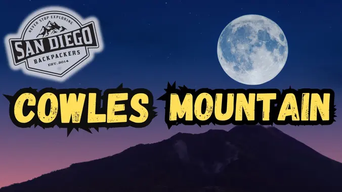
  • FULL MOON HIKE: Cowles Mountain Trail and the Sturgeon Moon

    Cowles Mountain San Diego, CA, United States

    Full moon hike! Catch the Sturgeon Moonrise on top of Cowles! We'll meet in the parking lot around 7:00PM for a start of 7:15PM. The sun will set at 7:28PM, bring an adequate headlamp! The moon will rise at 7:50PM. Feel free to bring your dog, headphones, weights, your pack, or whatever makes your conditioning […]

  • Ray Miller Trail in La Jolla Canyon ~ Gentler Intermediate

    Ray Miller Trailhead Malibu, CA, US

    We will hike Ray Miller Trail again starting at 7:30 am to beat the heat. The trail is an awesome blend of ocean and mountain views in Malibu’s La Jolla Canyon. We will start from the trailhead which follows the canyon eastward, away from the ocean. Then, it quickly brings you back toward the ocean […]

  • Potrero Ridge from Mountain Creek Dr.

    Mountain Creek Drive Mountain Creek Dr, Thousand Oaks, CA, US

    For this adventure, we'll hike a lollipop loop, starting at the Potrero Ridge trailhead off Mountain Creek Drive in Newbury Park, climb to the top of the ridge and follow it west to the heart of the Dos Vientos trail system. From there we'll make a clockwise loop along several trails, starting with Sierra Vista, […]

  • Chivo Tar Pits lollipop – Easy Intermediate with beginner option

    5079 Westwood St 5079 Westwood St, Simi Valley, CA, US

    4.75 miles, 700' gain, easy-intermediate Option for 3 miles, 300' gain, easy. 30 minute wait while group completes the loop back to this spot. This is a link to the route: LINK We start with a 1/4 mile walk from where we park along Cottonwood Dr, to the trail head. There we make a left […]

  • Two Peaks in the Conejo Canyon Western Plateau (Fast Paced)

    Thousand Oaks CNG Fueling Station 1993 Rancho Conejo Boulevard, Thousand Oaks, CA, US

    http://photos1.meetupstatic.com/photos/event/9/9/3/6/event_278199222.jpeg Please read these restrictions before signing up. Don't show up unless you're shown on the "Attending" list Unregistered or waitlisted will be turned away No "Plus Ones" on this hike No dogs allowed Welcome Trailblazers! Time to return to a favorite trail once again! Let's bag a couple peaks in our beautiful Western Plateau. […]

  • Intro to Map and Compass Navigation: FREE class at SB-OC

    Sports Basement Orange County Kalama River Avenue, Fountain Valley, CA, United States

    Don't like being lost in the wilderness? Wanna stay found? Then join us for a FREE intro class to topographic map and compass navigation. Learn the anatomy of a compass and how it works. Understand topo maps and the wealth of info they contain. Practice orienting your map and taking a bearing. Sport Basement is […]

  • BALBOA PARK: Summer Concert “SantanaWays”

    Spreckles Organ Pavillion, Balboa Park Plaza De Panama, San Diego, CA, United States

    Group bonding event! Come hang out, see your friends, make new friends, and meet other backpackers! I've caught this SantanaWays show at Spreckles last year and it's AMAZING. Prepare to dance and have a blast! Wednesday, August 21st 6:00PM Balboa Park Spreckles Organ Pavillion FREE Summer Concert Meet at the Tea Pavillion (food station at […]

  • Hill Canyon Santa Rosa Regional Park

    Hill Canyon Trailhead 10241 Hill Canyon Road, Camarillo, CA, US

    This gentler hike will be a little gentler than the second hike posted for Thursday, just sign up for one hike. We will start at 8:00 because of the heat. We will start at the parking area in Hill Canyon, cross the bridge over the runoff creek, and stroll a mile before turning onto the […]


Trail statistics are approximate. For safety purposes always assume they are underestimated. But don’t be disappointed if they are overestimated. Bring more water and snacks than you think you’ll need.

Trail descriptions are based on previous hikes. Current conditions are unknown until arrival. Expect the unexpected and plan accordingly.

The Organizers and members of Hiking With Dean are not professional leaders, guides, or mountaineers. The function of the member or organizer is only to organize the trip. Each person who shows up for a trip/meetup (and their guest or guests) is responsible for his or her own safety. By attending a hike, or any other event organized by this group, you are acknowledging that you and any guests that you bring are aware of the risks, dangers and hazards associated with the activity and freely accept and fully assume all such risks, dangers and hazards, and further agree to release and discharge the Organizers, Members of the Hiking With Dean Meetup Group from and against any and all liability arising from your participation in the group activities per our ASSUMPTION OF RISK AND LIABILITY WAIVER and Section 6.2 of the Meetup.com Terms of Service.