Site Search

Hiking Calendar

Newton Canyon – Gentler Friendly Hike

Backbone Trail Access at Kanan Backbone Trail, Malibu, CA, US

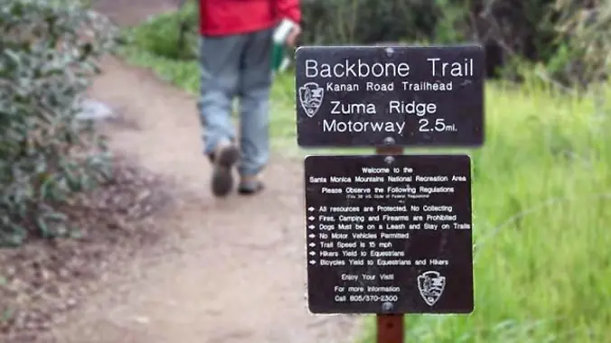
From the Kanan Rd trailhead, we'll jump on the Backbone Trail for a cruise down into Newton Canyon. On our way there, we'll cross the creek, pass under an oak canopy, and come out into an opening. At the opening, look toward the sandstone formations in the distance, and you'll see the now-maybe-flowing Upper Newton […]

Hike Bommer Ridge into Laguna Coast Wilderness – Loop

Crystal Cove SP/Laguna Coast - Ridge Park Entrance (map) Ridge Park Rd & E Coastal Peak, Newport Beach, CA, US

The total distance for this hike is 4.5 miles with about 650 ft. of elevation gain. There are great mountain and ocean views along the ridge. We are going to start on Bommer Ridge Trail and take this to Lizard Trail. We will go down that and loop back up to Bommer via Upper Laurel. […]

Hill Canyon – Hawk Lollipop – Easy Intermediate, beginner option

Hill Canyon Trailhead 10241 Hill Canyon Road, Camarillo, CA, US

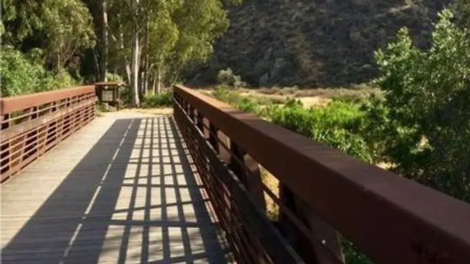
5.3 miles, 600' gain, Easy-Intermediate 2.5 miles, 100' gain, Beginner We start by crossing a bridge into a wooded area and continue down a relatively flat path alongside a stream. After about a mile, we'll come to a junction. For those that want the full hike, we'll turn right and complete a 3 mile loop […]

Hike to Josephine Peak – San Gabriel Mountains

Clear Creek Fire Station 701 Angeles Crest Scenic Byway,, Los Angeles, CA, US

Let's do another awesome peak in the Angeles National Forest! This hike will be to Josephine Peak. It is an out and back hike that will be about 8 miles and 1,850 ft. of elevation gain. The peak has an elevation of 5,558 ft. It will be an easy hike to navigate. We take one […]

Whitney Canyon Falls Slow Poke/Family Friendly Hike

Whitney Canyon Park 20303 Newhall Ave, Santa Clarita, CA, US

DETAILS: Description: LOCAL EASY HIKE FOR BEGINNERS AND FAMILIES Come join us as we explore this gorgeous canyon trail slowwwwwly. This trail is a favorite with lots of shade, giant old oak trees, a sulfur spring, and a waterfall reward at the end! We stop for wildflowers, stream crossings, and just generally to enjoy the […]

VC backcountry-Los Padres Fishbowls loop

Guadalupe Canyon Oasis Calle 0 0"N, Empalme, MX

Come explore the Los Padres backcountry out near Frazier Park/Lockwood Valley off Interstate 5/Grapevine. 6/1 Meet at 9am at the gate off Lockwood Valley/Grade Valley Road. Cars may be able to make the washboard road but higher clearance is recommended. People can carpool from the gate to the trailhead in higher clearance cars. Should start […]

Cedar Creek Fishbowl Loop Trail

Fishbowls Trailhead - 21W05 Lockwood Valley Rd, Maricopa, CA, US

https://www.alltrails.com/trail/us/california/cedar-creek-fishbowl-loop-trail Hello Fellow Hikers, Okay this is a seasonal trail and the gates are finally open to hike it! Time to head to the forest and we're going back to Frazier Park. Several people comment on the wildflowers in bloom on this trail right now. What to expect...Several water crossings abit of overgrowth in some […]

Hike at O’Neill Regional Park + Brunch at Cook’s Corner

O'Neill Regional Park 30892 Trabuco Canyon Rd, Trabuco Canyon, CA, US

The hike we will be doing is approximately 5 miles with 870 ft. of elevation gain. We will begin at the Live Oak Trail trailhead. This is where you will see on the map that the Live Oak Trail hits the paved road. This is the parking lot closest to the Edna Spaulding Trail. (There […]

Tapo Canyon Trail

Tapo Canyon Road Tapo Canyon Rd, Simi Valley, CA, US

https://www.alltrails.com/trail/us/california/tapo-canyon-trail?u=i Hello Fellow Hikers, Join me on a easier moderate hike at Tapo Canyon Trail in Simi Valley. This hike has a nice gradual walk until we start a gradual climb were we will start our loop. We should encounter wildflowers and mountain views. Our loop will drop down then we will continue until we […]


Trail statistics are approximate. For safety purposes always assume they are underestimated. But don’t be disappointed if they are overestimated. Bring more water and snacks than you think you’ll need.

Trail descriptions are based on previous hikes. Current conditions are unknown until arrival. Expect the unexpected and plan accordingly.

The Organizers and members of Hiking With Dean are not professional leaders, guides, or mountaineers. The function of the member or organizer is only to organize the trip. Each person who shows up for a trip/meetup (and their guest or guests) is responsible for his or her own safety. By attending a hike, or any other event organized by this group, you are acknowledging that you and any guests that you bring are aware of the risks, dangers and hazards associated with the activity and freely accept and fully assume all such risks, dangers and hazards, and further agree to release and discharge the Organizers, Members of the Hiking With Dean Meetup Group from and against any and all liability arising from your participation in the group activities per our ASSUMPTION OF RISK AND LIABILITY WAIVER and Section 6.2 of the Meetup.com Terms of Service.