Site Search

Hiking Calendar

Hawk Canyon lollipop – Pot Luck hike

1993 Rancho Conejo Blvd 1993 Rancho Conejo Blvd, Thousand Oaks, CA, US

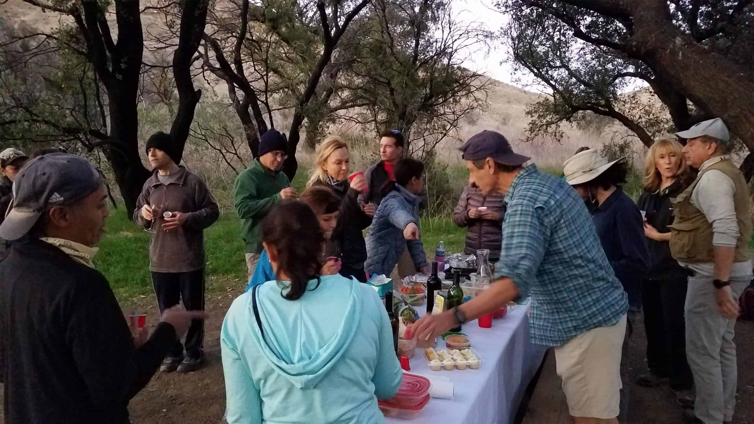
4.2 miles, 700' gain, easy-intermediate. This hike has a fit-beginner option: 2.7 miles, 500' gain, described at the end of this description. This is a pot-luck hike. We'll be stopping at the 3/4 point by a picnic table, so please bring food and drink to share, and any utensils your items might require. We have […]

Talopop – Suitable for fit beginners

Talopop at Juan Bautista de Anza Park 3701 Lost Hills Road, Calabasas, CA, US

Fit Beginner, 4.1 miles, 720' gain. Is it Talepop or Talopop? Maps and signs that I have seen, use the 2nd spelling, but a lot of references use the other. There are several portions with extended inclines that will make a beginner hiker stop for a breather. There is nothing wrong with stopping, even if […]

Inspiring & Challenging Steep Moonlight Hike: Mission Peak Loop in Granada Hills

18000 Sesnon Blvd 18000 Sesnon Blvd, Granada Hills, CA, US

STATSDifficulty: 4/10, Steep up & down, with some slippery spotsLength: 3 miles, 2 hours plus breaksElevation Gain & Loss: 1225’; Peak: 2700’View: Amazing 360 View of Valleys and MountainsDetails: This hike has some STEEP moments but has a bench at the top to relax on. We made a new uphill trail, which is not on […]

📢 Heartbreak Hill – Liberty Canyon – Phantom Trail Loop – Extended Version

Heartbreak Hill Trailhead 27619 Agoura Rd, Agoura, CA, US

Trekking poles recommended for this one: https://www.hikingwithdean.com/shop/amazon-top-10/ Today we will extend the classic version of my Heartbreak Hill loop in the Liberty Canyon Preserve. They don't call the hill "Heartbreak" for nothing. The first half mile contains a 500 ft elevation gain. The next couple miles has adds another few hundred feet along rolling hills. […]

Long Canyon – Coyote Park

572 Bannister Way 572 Bannister Way, Simi Valley, CA, US

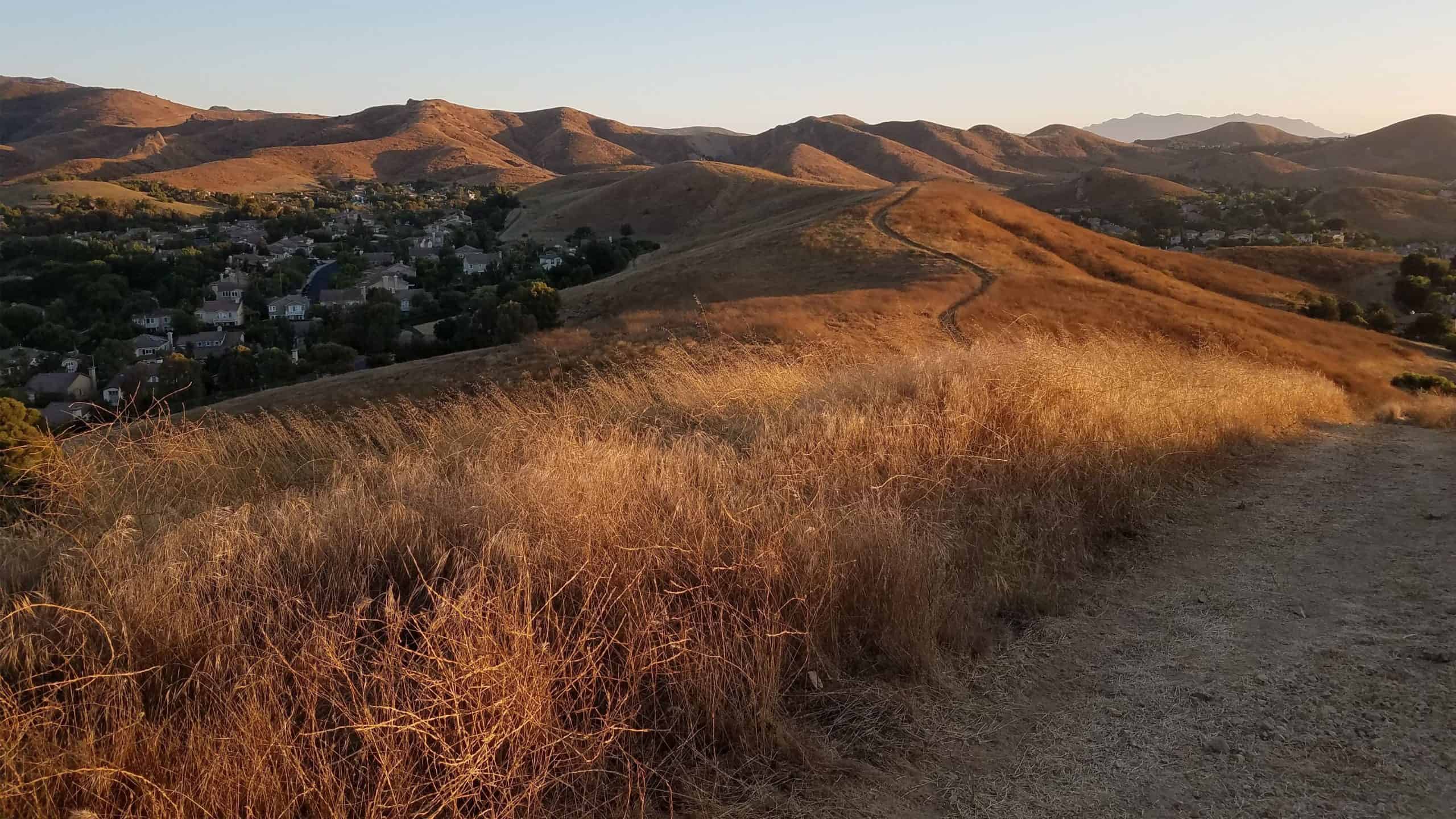
5 miles, 1000' gain, Easy Intermediate From the trail head, we cross the street. We walk a block and then head up behind the houses. This first climb will get your blood pumping. At the top of the hill, there are spectacular views of the neighborhoods and Bard Lake. We'll head down, then up a […]

Chatsworth Oaks Park

Chatsworth Oaks Park 9301 Valley Circle Blvd, Chatsworth, CA, US

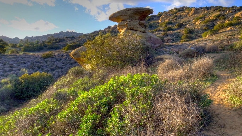
BEFORE YOU WILL BE MOVED TO THE GOING LIST, YOU WILL NEED TO UPDATE YOUR CDH PROFILE (The three questions must be answered with a "yes") IF YOU HAVE NOT ALREADY DONE SO.NEED HELP:go to: https://wp.me/P9MbG4-hC We'll be hiking in a small park that has interesting rock formations that we can check out along the […]

Hunter Allen Trail to Castle Peak

Upper Las Virgenes Canyon Open Space Preserve Victory Blvd, Woodland Hills, CA, US

https://www.alltrails.com/trail/us/california/castle-peak-from-victory-trail Hello Fellow Hikers,Hunter Allen Trail to Castle Peak is a great workout hike to get in your start for the weekend without taking us the whole day. This is a great hike for those who want to bring their dogs. We will have some incline but very doable. The trails in this area are […]

Oak Spring and Yerba Buena Ridge Loop

Oak Spring Trail (Gold Creek Trailhead) 9998-9954 Gold Creek Rd, Sylmar, CA, US

This is a lightly traveled loop trail in seldom seen Angeles Forest back country. Due to the fact that there is no shade on this hike it is best conducted in the winter or early spring when temps are cool and everything is green from rain. The reward for this hike are the incredible vistas […]

Las Llajas The Ridge Rocky peak Hummingbird Bridle path Mount Sinai

Las Llajas Canyon Trail 5715 Evening Sky Dr, Simi Valley, CA, US

https://www.alltrails.com/trail/us/california/las-llajas-canyon-and-ridge-loop Hello Fellow Hikers,Okay the AllTrails attached is our starting point and we are doing the Ridge but we are going to continue on a different route from there. This will be a harder trail and not for beginners. The first 2 miles is 1800 elevation gain! It's one of those hikes I'll need to […]

[asa2_collection tpl=”Flex_1″ orderby=”rand” limit=”4″]2[/asa2_collection]

Trail statistics are approximate. For safety purposes always assume they are underestimated. But don’t be disappointed if they are overestimated. Bring more water and snacks than you think you’ll need.

Trail descriptions are based on previous hikes. Current conditions are unknown until arrival. Expect the unexpected and plan accordingly.

The Organizers and members of Hiking With Dean are not professional leaders, guides, or mountaineers. The function of the member or organizer is only to organize the trip. Each person who shows up for a trip/meetup (and their guest or guests) is responsible for his or her own safety. By attending a hike, or any other event organized by this group, you are acknowledging that you and any guests that you bring are aware of the risks, dangers and hazards associated with the activity and freely accept and fully assume all such risks, dangers and hazards, and further agree to release and discharge the Organizers, Members of the Hiking With Dean Meetup Group from and against any and all liability arising from your participation in the group activities per our ASSUMPTION OF RISK AND LIABILITY WAIVER and Section 6.2 of the Meetup.com Terms of Service.