Site Search

Hiking Calendar

Hike the Los Padres- Bucksnort trail

Dough Flat Trailhead Squaw Flat Rd, Maricopa, CA, US

The Bucksnort Trail is a beautiful 2.99 mile trail in the Sespe Wilderness in Ventura County . The trail connects the Agua Blanca Trail (19W10) and the Alder Creek Trail […]

Echo Mountain Via Sam Merrill Trail

Cobb Estate Hike 3302 Lake Ave, Altadena, CA, US

Come join me at a popular location for hiking in Altadena,Cobb Estate, Echo Mountain trail is a very popular hike and if you come or have been there before you'll […]

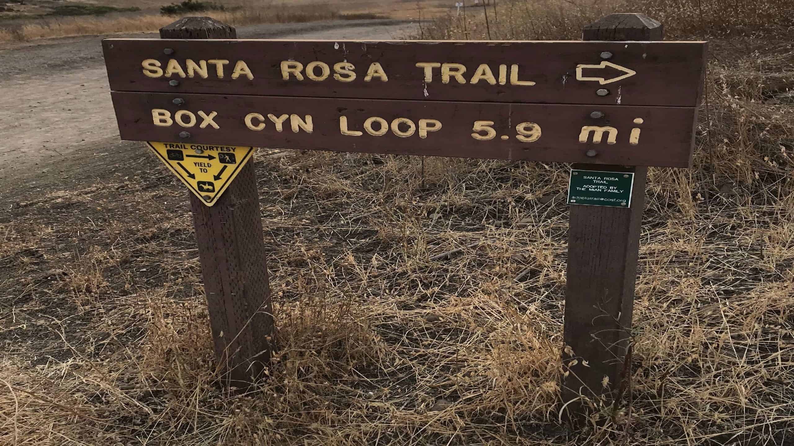
Santa Rosa Trail Loop through Box Canyon

Wildwood Regional Park 928 W Avenida De Los Arboles, Thousand Oaks, CA, US

Come Join Us Saturday, December 5, for an afternoon/evening workout hike! We start on time at Wildwood Park where there are a ton of trails. We will be veering right […]

Hill Canyon Trail to Hawk Canyon

10241 Hill Canyon Rd 10241 Hill Canyon Rd, Camarillo, CA, US

TO ALLOW GROUP HIKES TO START UP AGAIN, IT'S ESSENTIAL TO FOLLOW THE COVID-19 SAFETY REQUIREMENTS TO KEEP ALL OF US SAFE NOW:• Masks and social distancing (6ft) required throughout […]

All Week — Up to 50% Off at REI!

Online event

FYI - REI Co-Op is running their cyber week sale with a couple of promotions (1) Save up to 50% on original prices here: (2) Take an additional 25% off […]

White ledge overnighter

Matilija Trailhead 4101 Matilija Cyn Rd, Ojai, CA, US

This is an overnight hike of 20 miles round trip. We will be tagging white ledge peak. This area is remote and you need to be prepared accordingly. You can […]

OAK PARK WALKABOUT ALONG MADEA CREEK

Oak Canyon Community Park 5600 Hollytree, Oak Park, CA

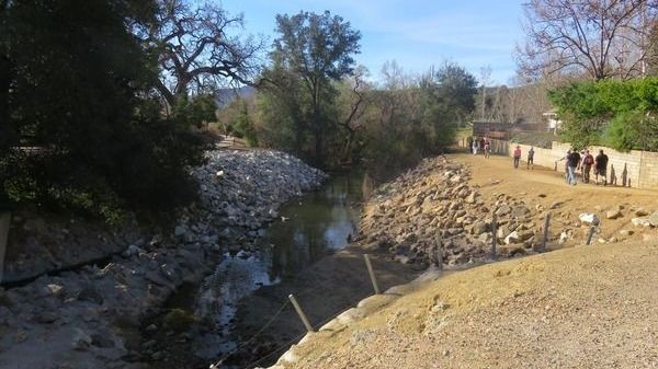
Join me on a stroll since we will be mostly walking on a paved Paseo winding its way along Madea Creek in Oak Park. There is one dirt trail that […]

Conejo Mountain- Edison Road

Dos Vientos Community Park 4801 Borchard Rd, Newbury Park, CA, US

Moderately Strenuous 9 mile hike (round trip). Elevation gain/loss of about 2200 ft. Follow the power-line road/trail into the canyon and to points overlooking Newbury Park, Camarillo, the Oxnard Plain, […]

[asa2_collection tpl=”Flex_1″ orderby=”rand” limit=”4″]2[/asa2_collection]

Trail statistics are approximate. For safety purposes always assume they are underestimated. But don’t be disappointed if they are overestimated. Bring more water and snacks than you think you’ll need.

Trail descriptions are based on previous hikes. Current conditions are unknown until arrival. Expect the unexpected and plan accordingly.

The Organizers and members of Hiking With Dean are not professional leaders, guides, or mountaineers. The function of the member or organizer is only to organize the trip. Each person who shows up for a trip/meetup (and their guest or guests) is responsible for his or her own safety. By attending a hike, or any other event organized by this group, you are acknowledging that you and any guests that you bring are aware of the risks, dangers and hazards associated with the activity and freely accept and fully assume all such risks, dangers and hazards, and further agree to release and discharge the Organizers, Members of the Hiking With Dean Meetup Group from and against any and all liability arising from your participation in the group activities per our ASSUMPTION OF RISK AND LIABILITY WAIVER and Section 6.2 of the Meetup.com Terms of Service.