Site Search

Hiking Calendar

Sunset Hills Hike (Recent Burn)

Erbes Road Erbes Rd, Thousand Oaks, CA, US

BEFORE YOU WILL BE MOVED TO THE GOING LIST, YOU WILL NEED TO UPDATE YOUR CDH PROFILE IF YOU HAVE NOT ALREADY DONE SO. USE THIS SITE FOR HELP:https://www.cwrhiking.com/changing-your-meetup-profile-photo/In addition […]

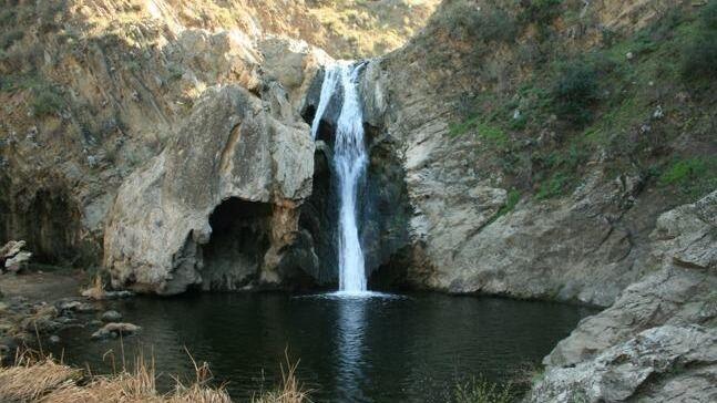
Paradise Falls Easy Hike (Beat The Rain)

Wildwood Regional Park 928 W Avenida De Los Arboles, Thousand Oaks, CA, US

BEFORE YOU WILL BE MOVED TO THE GOING LIST, YOU WILL NEED TO UPDATE YOUR CDH PROFILE (picture and three questions) IF YOU HAVE NOT ALREADY DONE SO. Use this […]

Sycamore Canyon Evening Hike

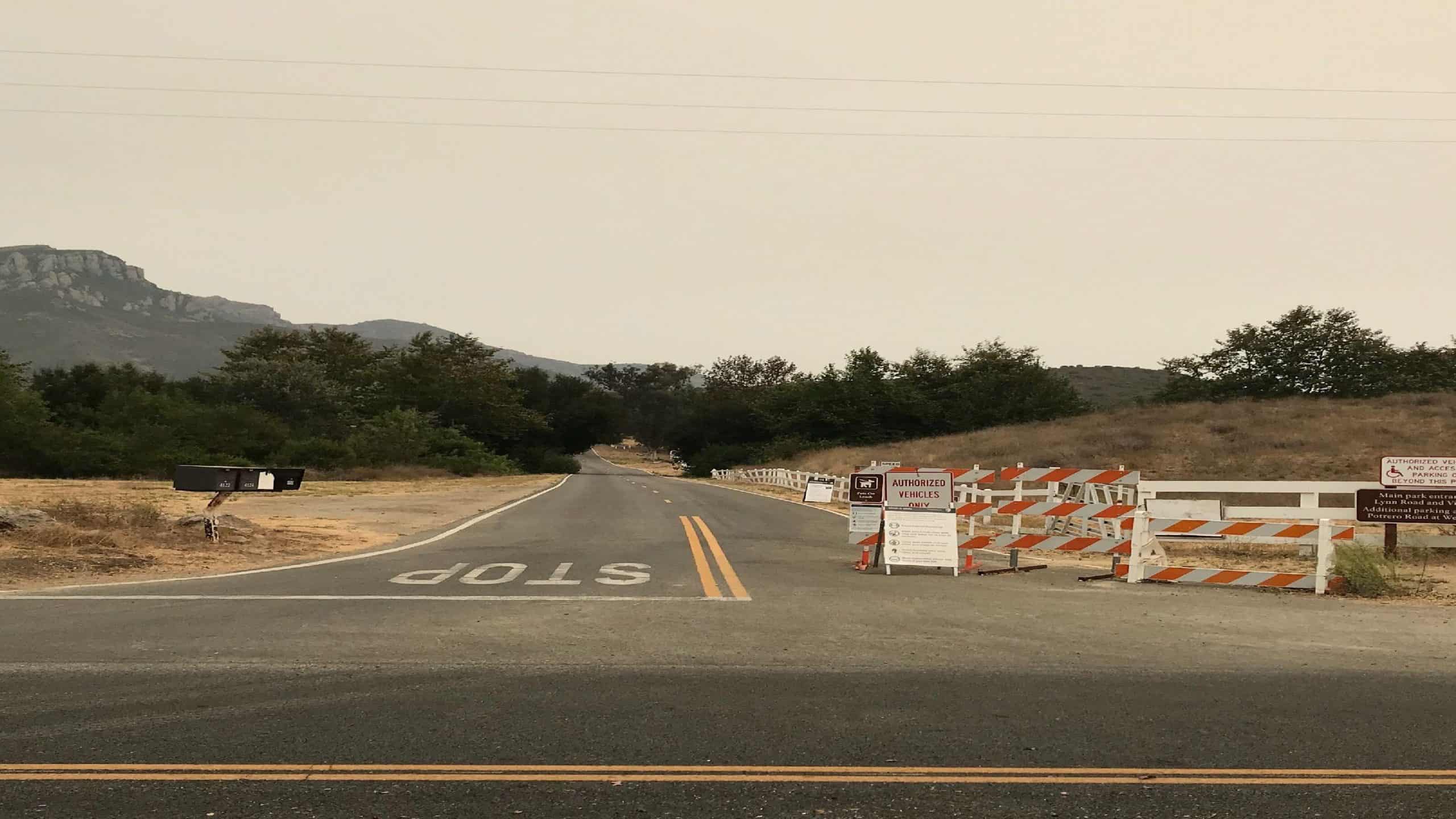
4153 Potrero Rd 4153 Potrero Rd, Thousand Oaks, CA, US

Come join me for a quick-paced (2.5-3 miles per hour) evening hike. It will be dark so please have a light! Should take only 2'30" if you hike at that […]

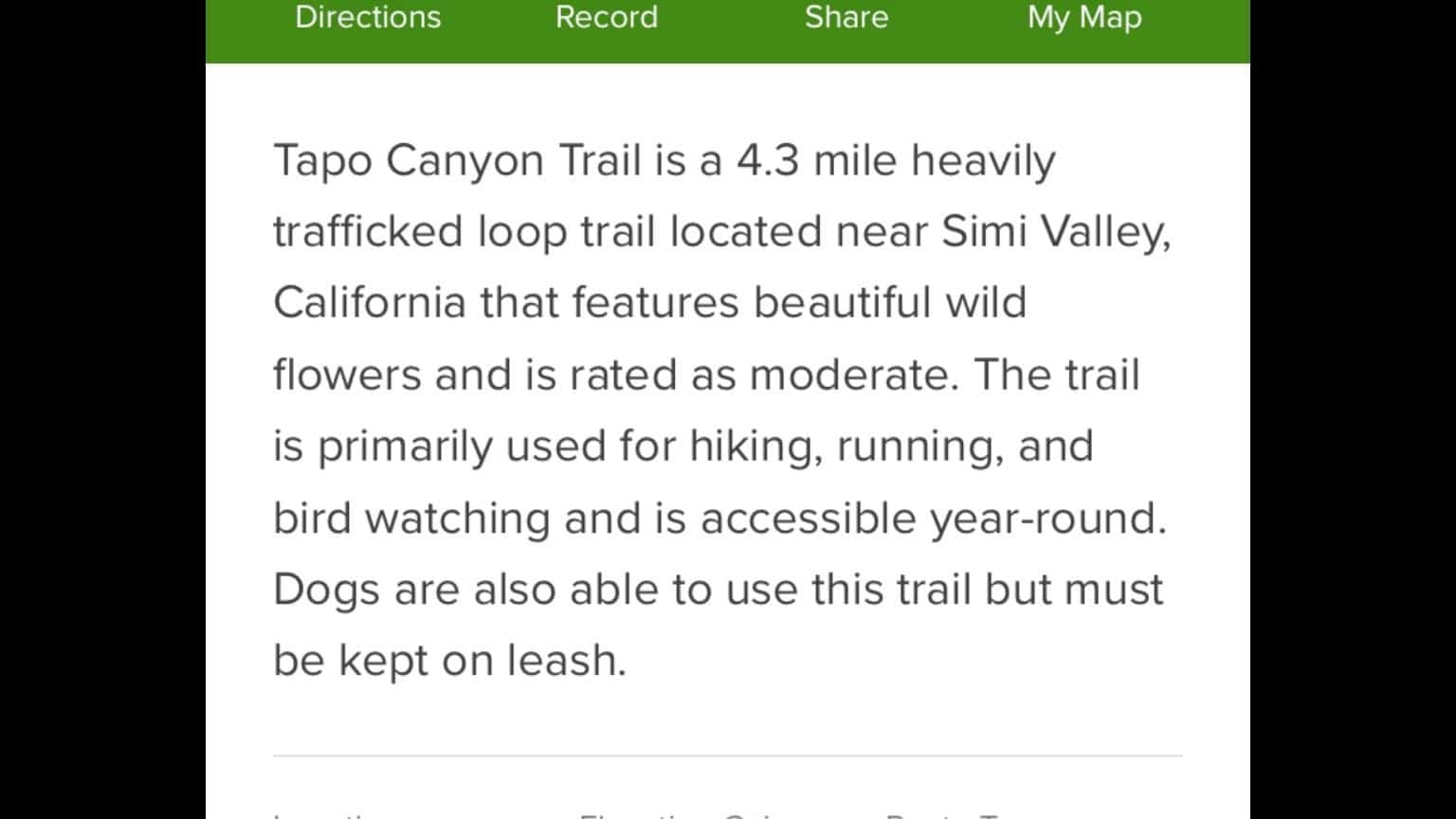
Tapo canyon trail

Tapo Canyon Trailhead 3803 Tapo Canyon Road, Simi Valley, CA, US

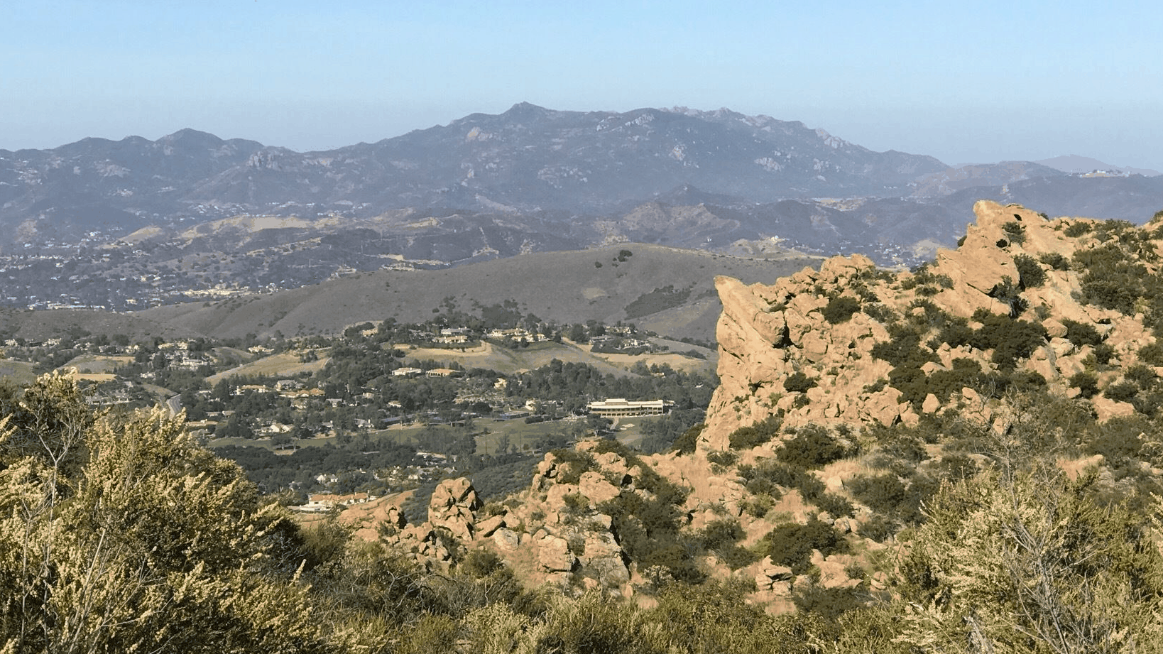
See photo above

Simi Peak from Lindero Canyon Rd 6 mi 1800ft

King James Court King James Ct, California, CA, US

BEFORE YOU WILL BE MOVED TO THE GOING LIST, YOU WILL NEED TO UPDATE YOUR CDH PROFILE (picture and three questions) IF YOU HAVE NOT ALREADY DONE SO. Use this […]

Las Llajas Canyon to an Abandoned Mining Operation Hike

Las Llajas Canyon Trail 5715 Evening Sky Dr, Simi Valley, CA, US

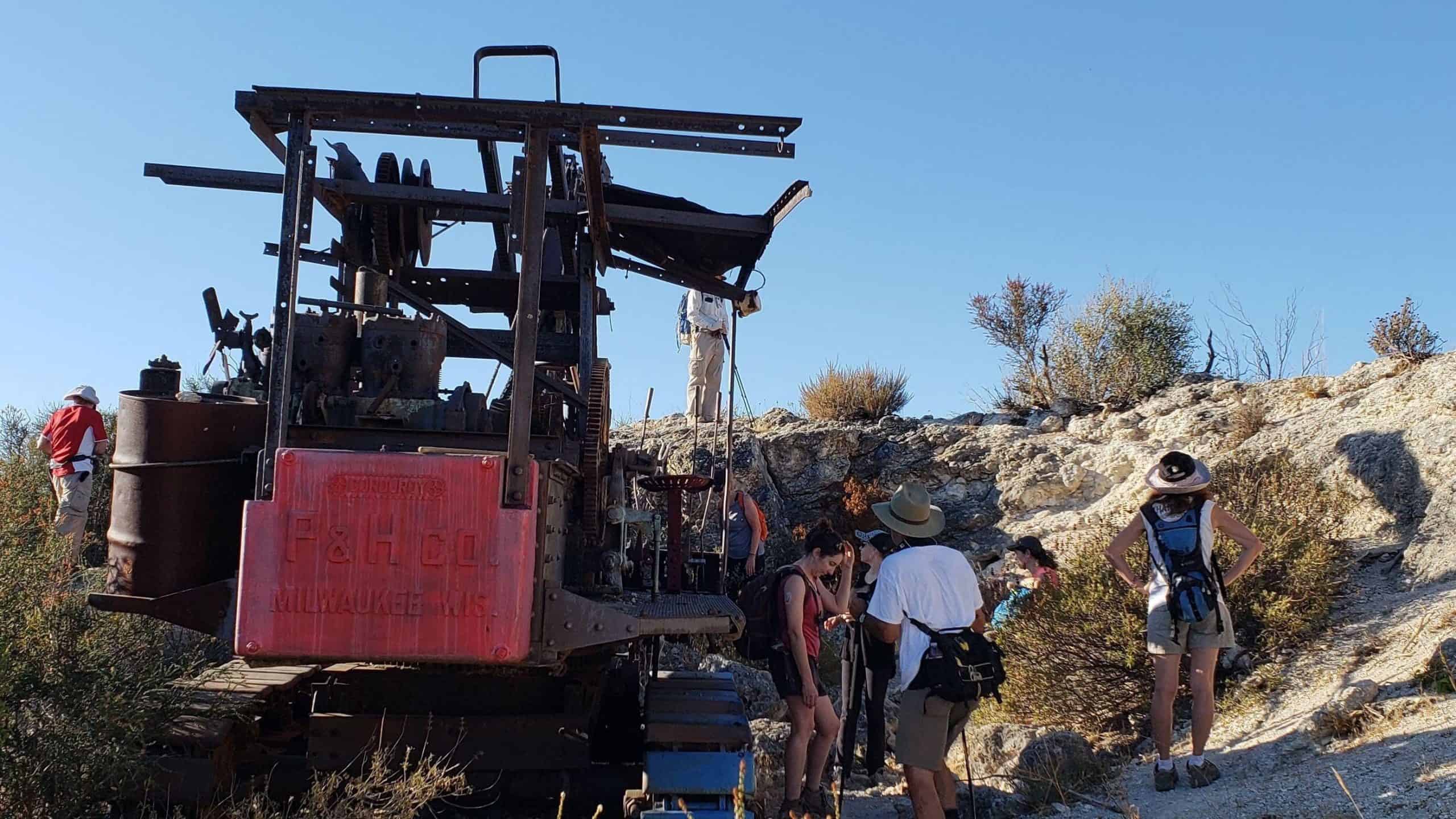
I had a few people asking about doing this hike again so lets do it while the weather is still a little cooler (hopefully)!The last time we hiked this we […]

Oak Spring and Yerba Buena Ridge Loop

Oak Spring Trail (Gold Creek Trailhead) 9998-9954 Gold Creek Rd, Sylmar, CA, US

***Hike is waitlisted. For the time being, you must have hiked with us previously, strict limit of the total number of attendees YOU MUST BRING A FACE COVERING to meet […]

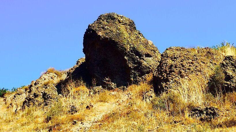
Wildwood Park Lizard Rock Trail 5 mi 700 ft

Wildwood Regional Park 928 W Avenida De Los Arboles, Thousand Oaks, CA, US

BEFORE YOU WILL BE MOVED TO THE GOING LIST, YOU WILL NEED TO UPDATE YOUR CDH PROFILE (picture and three questions) IF YOU HAVE NOT ALREADY DONE SO. Use this […]

[asa2_collection tpl=”Flex_1″ orderby=”rand” limit=”4″]2[/asa2_collection]

Trail statistics are approximate. For safety purposes always assume they are underestimated. But don’t be disappointed if they are overestimated. Bring more water and snacks than you think you’ll need.

Trail descriptions are based on previous hikes. Current conditions are unknown until arrival. Expect the unexpected and plan accordingly.

The Organizers and members of Hiking With Dean are not professional leaders, guides, or mountaineers. The function of the member or organizer is only to organize the trip. Each person who shows up for a trip/meetup (and their guest or guests) is responsible for his or her own safety. By attending a hike, or any other event organized by this group, you are acknowledging that you and any guests that you bring are aware of the risks, dangers and hazards associated with the activity and freely accept and fully assume all such risks, dangers and hazards, and further agree to release and discharge the Organizers, Members of the Hiking With Dean Meetup Group from and against any and all liability arising from your participation in the group activities per our ASSUMPTION OF RISK AND LIABILITY WAIVER and Section 6.2 of the Meetup.com Terms of Service.