Site Search

Hiking Calendar

Hike at Whiting Ranch – Wahoo’s Parking Lot

Wahoo's Fish Taco 27412 Portola Parkway, Foothill Ranch, CA, US

This hike will be about 5.4 miles total with 820 ft. of elevation gain. We are starting at the parking lot at the Wahoo's parking lot. We will take Live […]

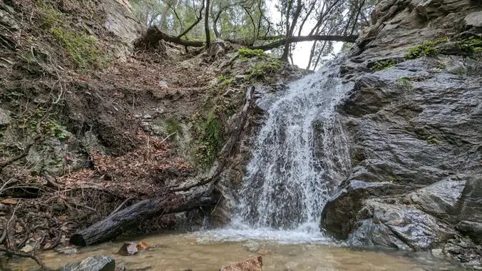
Water level check at Los Pinetos Waterfall Out and Back Style

Placerita Canyon Nature Center 19152 Placerita Canyon Rd, Newhall, CA, US

Nice and easy hike, if you are thinking about hiking and want to try something easy this is the hike for you! We will hike out to the waterfall area […]

Free Camping Gear and Cooking demo + Giveaways!

Turtle Rock Community Park 1 Sunnyhill, Irvine, CA, US

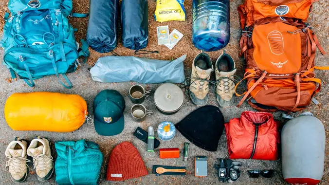
Do you enjoy camping, hiking, backpacking, and need help deciding what you need (and don't want to break the bank getting your kit together?) Then join us for this free […]

Cooler Location – Sycamore Canyon Scenic Vista

Point Mugu State Park/ Sycamore Cove Beach 9000 Pacific Coast Hwy, Malibu, CA, US

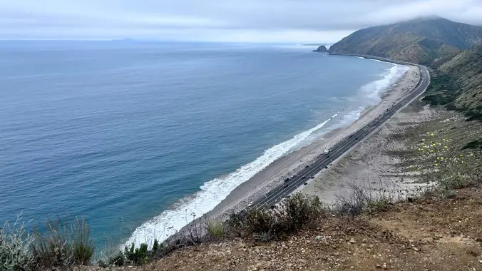
3 miles, 600' gain, easy intermediate. Easy option: 2.5 miles, 500' gain, fit beginner. The route is similar to the Beach Party hikes. From the parking lot, we return to […]

Wildwood Park – Las Flores potluck hike

604 W Avenida De Las Flores 604 W Avenida De Las Flores, Thousand Oaks, CA, US

Fit Beginner - 4 miles, 600' gain The gain is well distributed, with half being on the return. We start at the Las Flores trailhead where Las Flores dead-ends at […]

Upper Sycamore Canyon Loop – Gentler Intermediate

Rancho Sierra Vista/Satwiwa Main Parking Lot Pinehill Avenue, Newbury Park, ca, United States

This hike starts at the Rancho Sierra Vista parking lot, goes down to the bridge on Sycamore Canyon asphalt, but then turns up the canyon alongside Upper Sycamore Creek. Along […]

Overlooking Sycamore Canyon – an Intermediate, Cooler Hike

Sycamore Canyon Trailhead Sycamore Canyon Road, Malibu, CA, United States

Just off the ocean, Sycamore Canyon is a wide, seemingly flat stroll among grasses, wildflower, and sycamore trees, surrounded by mountains on both sides. Rather than letting that lull you […]


Trail statistics are approximate. For safety purposes always assume they are underestimated. But don’t be disappointed if they are overestimated. Bring more water and snacks than you think you’ll need.

Trail descriptions are based on previous hikes. Current conditions are unknown until arrival. Expect the unexpected and plan accordingly.

The Organizers and members of Hiking With Dean are not professional leaders, guides, or mountaineers. The function of the member or organizer is only to organize the trip. Each person who shows up for a trip/meetup (and their guest or guests) is responsible for his or her own safety. By attending a hike, or any other event organized by this group, you are acknowledging that you and any guests that you bring are aware of the risks, dangers and hazards associated with the activity and freely accept and fully assume all such risks, dangers and hazards, and further agree to release and discharge the Organizers, Members of the Hiking With Dean Meetup Group from and against any and all liability arising from your participation in the group activities per our ASSUMPTION OF RISK AND LIABILITY WAIVER and Section 6.2 of the Meetup.com Terms of Service.