• Anza Borrego Not So Epic (3rd day optional)

    Palm Canyon Dr. Palm Canyon Drive 221, Borrego Springs, CA, United States

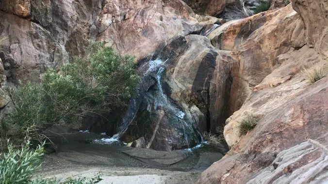
    This is Jerry Schad's Indian Canyon / Borrego Palm Canyon Traverse. Back in 2021 I made this a loop and it may have been a little bit too epic :) (https://www.meetup.com/sandiegobackpackers/events/269364126/?eventOrigin=group_calendar) This trip starts from third crossing. First night camp is Bennis Bowl. If you want to do a nice beginner trip you can join […]

  • Hike at Peter’s Canyon Regional Park – Big Red & Around the Reservoir

    Peter Canyon Regional Park 8548 E Canyon View Ave, Orange, CA, US

    The hike will be about 5.7 miles with about 750 ft. of elevation gain. We will start on Peters Canyon Trail and take this to East Ridge View Trail. This is where we will go up Big Red. Then we will continue on this trail until we get to Eucalyptus to loop back. We will […]

  • Castillo Trail to Wildwood Park ~ Gentler Intermediate

    Castillo Trailhead 2642 Castillo Cir,, Thousand Oaks, ca, US

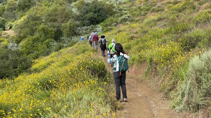
    This hike starts at Castillo Trail to Wildwood Park. In the spring, it’s spectacular with an abundance of mustard greens, wildflowers and California poppies in addition to bountiful water in the waterfalls and creeks. Wildwood Park in Thousand Oaks is one of the most versatile local parks with 27 miles of trails skittering through this […]

  • Encinal Canyon to Top of the World ~ Intermediate Hike

    Encinal Canyon Road Backbone Trail 1097 Encinal Canyon Road, malibu, CA, US

    Encinal Canyon is named for encina, the Spanish word for the holm oak, a lovely Mediterranean tree with holly characteristics. Holm oaks are one of the main trees used to establish truffle orchards, but we'll be nosing around the canyon strictly for its beauty. The trail from Encinal is a smooth, firm, and well-traveled single […]

  • Doin’ the Big, Fig Newton Canyon – Tuesday Nite Hike

    BBT - Kanan Dume 1720 Kanan Dume Rd, Malibu, CA, US

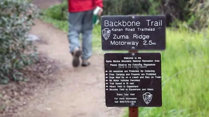
    http://photos1.meetupstatic.com/photos/event/b/a/2/4/event_99467652.jpeg From the Kanan Rd trailhead, we'll jump on the Backbone Trail for a cruise down into Newton Canyon. On our way there, we'll cross the creek, pass under an oak canopy, and come out into an opening. At the opening, look toward the sandstone formations in the distance, and we may see a flow […]

  • Los Padres – Easy Intermediate

    Los Padres Trailhead 15 Los Padres Drive, Thousand Oaks, CA, US

    3.5 miles, 600' gain, Easy Intermediate Easy Option: 2.4 miles, 285' gain, Fit Beginner We enter the Los Padres trail through a spooky oak covered section, then move through until we come to a dead end. We'll turn right, and continue climbing up. We'll come to another junction, where we'll turn right onto the Los […]

  • Las Virgenes Canyon/Cheeseboro Ridge – a Gentler Hike

    Las Virgenes Canyon Las Virgenes Road 6080, Calabasas, CA, United States

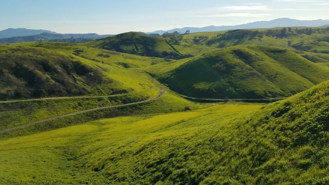
    This week we'll head over to the east end of the Conejo Valley for our hike. This is similar to the hike that Steve led a couple of weeks ago, but it has a different starting point at the end of Las Virgenes. The hills are amazingly green right now, so we'll enjoy them again. […]

  • Los Robles WEST/Moorpark Trail

    Los Robles Trail 351 S Moorpark Rd, Thousand Oaks, CA, US

    This is a second hike for Thursday. If you decide to switch hikes, be sure to cancel Laurie's hike even if you're on the waitlist. We will meet in the parking lot at the end of S. Moorpark and Greenmeadow Avenue. The hike will head WEST on the Los Robles trail, turning around at the […]

  • Chumash – Intermediate, with Easy option

    Chumash Park 3200 Flanagan Dr., Simi Valley, CA, US

    4 miles, 950' gain, Intermediate Easy Option: 1.6 miles, 400' gain, Fit Beginner Hardest option: 5 miles, 1200' gain, Intermediate The entire hike outbound is a steady incline. Nothing super steep, just continuous and quite strenuous for many. There are virtually no junctions where one can get lost. This is one of the more famous […]


Trail statistics are approximate. For safety purposes always assume they are underestimated. But don’t be disappointed if they are overestimated. Bring more water and snacks than you think you’ll need.

Trail descriptions are based on previous hikes. Current conditions are unknown until arrival. Expect the unexpected and plan accordingly.

The Organizers and members of Hiking With Dean are not professional leaders, guides, or mountaineers. The function of the member or organizer is only to organize the trip. Each person who shows up for a trip/meetup (and their guest or guests) is responsible for his or her own safety. By attending a hike, or any other event organized by this group, you are acknowledging that you and any guests that you bring are aware of the risks, dangers and hazards associated with the activity and freely accept and fully assume all such risks, dangers and hazards, and further agree to release and discharge the Organizers, Members of the Hiking With Dean Meetup Group from and against any and all liability arising from your participation in the group activities per our ASSUMPTION OF RISK AND LIABILITY WAIVER and Section 6.2 of the Meetup.com Terms of Service.