Site Search

Hiking Calendar

Ride the Two Winds (Dos Vientos) – Gentler Friendly

Dos Vientos Community Park 4801 Borchard Rd, Newbury Park, CA, US

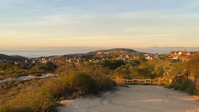
Let's meet at the tennis courts. This hike will be in addition to Laurie's hike, but this will be a gentler hike. This hike will loop around the periphery of Dos Vientos Open Space, passing Twin Ponds, overlooking Potrero Road and the Oxnard Plain with the Channel Islands in the background. We will cross 3 […]

Chumash – Intermediate, with Easy option

Chumash Park 3200 Flanagan Dr., Simi Valley, CA, US

4 miles, 950' gain, Intermediate Easy Option: 1.6 miles, 400' gain, Fit Beginner Hardest option: 5 miles, 1200' gain, Intermediate The entire hike outbound is a steady incline. Nothing super steep, just continuous and quite strenuous for many. There are virtually no junctions where one can get lost. This is one of the more famous […]

Stair Hike: Under the Banner of Blue Heaven #1 – 4.5 miles

Wingstop on Highland and Franklin Highland Avenue 1900, Los Angeles, CA, United States

Take a ramble beneath Heavenly Blue skies near the Hollywood Bowl. We’ll see the festive holiday lights in old Hollywood, including the site of Rudolph Valentino’s house and the stair streets where gumshoes Philip Marlowe and Harry Bosch worked their cases. You won’t need keen eyes to see all the Dodger flags in the neighborhood. […]

Peter Repeater: Peters Cyn hiking, Peet’s Coffee for socializing!

Peters Canyon (South Entrance) Silverado Terrace 10992, Tustin, CA, United States

Get your pre-holiday conditioning hikes in. Join us for a Friday morning hike at Peter's Canyon. We'll do a six mile loop starting at the south entrance. After the hike, feel free to join us for coffee at Peet's. This is a great hike for people wanting to learn about WTC and meet WTC leaders […]

Crystal Cove State Park Loop

Pacific Ridge Trailhead Ridge Park Road, Newport Beach, CA, United States

Join us for a scenic 5.5-mile loop hike with 1,104 feet of cumulative elevation gain in Crystal Cove State Park! We'll wander through the upper and lower trails, taking in breathtaking views of the mountains and ocean along the way. Meet at the Coastal Peak Park parking lot next to the restrooms at 7:30AM. We'll […]

Wilderness Access Day – Red Rock Wilderness **Must Register on LetsGoOutside.org

Augustine Staging Area Santiago Canyon Road 5524, Silverado, CA, United States

Join us for an exploratory hike in the new trails in the Red Rock Wilderness area. ***Must also register here: https://letsgooutside.org/activities/2024/12/21/wilderness-access-day-red-rock-wilderness-8/ They will send you a confirmation email with directions and a map to the staging area. As of now, there are 117 out of 250 spots left. About the event: Come explore OC Parks’ […]

Palo Comado – Cheeseboro Loop

HWD Agoura High Backtrail Carell Avenue 5712, Agoura Hills, CA, United States

Palo Comado and Cheeseboro Canyons, near Agoura Hills, is a wildlife corridor connecting the Santa Monica Mountains with the Santa Susana Mountains. This north-south corridor allows animals to move freely between the two ranges. We will enter Palo Comado from Agoura High School and loop around the underbelly of Cheeseboro and Palo Comado Canyons via […]

Hike at Whiting Ranch – Cactus Hill & Billy Goat (optional) – Starbies ☕ after

Wahoo's Fish Taco 27412 Portola Parkway, Foothill Ranch, CA, US

This hike will be about 7 miles total with 1200 ft. of elevation gain. We are starting at the parking lot at the Wahoo's parking lot. We will take Live Oak Trail. This turns into Serrano Road which will take us to Serrano Cow Trail. At this part of the trail, we usually see a […]

Malibu Creek SP Visitor Center (No Host)

Malibu Creek State Park Visitor Center - HWD Agoura Hills, CA, United States

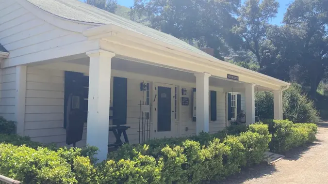
I'll be working in the Malibu Creek State Park Visitor Center on this Sunday. We are open from Noon to 4pm. Stop by and say hello -- and for a private tour. About the VC The MCSP Visitor Center (VC) is a historic building and is over 100 years old. Malibu Creek Docents operate the […]


Trail statistics are approximate. For safety purposes always assume they are underestimated. But don’t be disappointed if they are overestimated. Bring more water and snacks than you think you’ll need.

Trail descriptions are based on previous hikes. Current conditions are unknown until arrival. Expect the unexpected and plan accordingly.

The Organizers and members of Hiking With Dean are not professional leaders, guides, or mountaineers. The function of the member or organizer is only to organize the trip. Each person who shows up for a trip/meetup (and their guest or guests) is responsible for his or her own safety. By attending a hike, or any other event organized by this group, you are acknowledging that you and any guests that you bring are aware of the risks, dangers and hazards associated with the activity and freely accept and fully assume all such risks, dangers and hazards, and further agree to release and discharge the Organizers, Members of the Hiking With Dean Meetup Group from and against any and all liability arising from your participation in the group activities per our ASSUMPTION OF RISK AND LIABILITY WAIVER and Section 6.2 of the Meetup.com Terms of Service.