Hiking Calendar

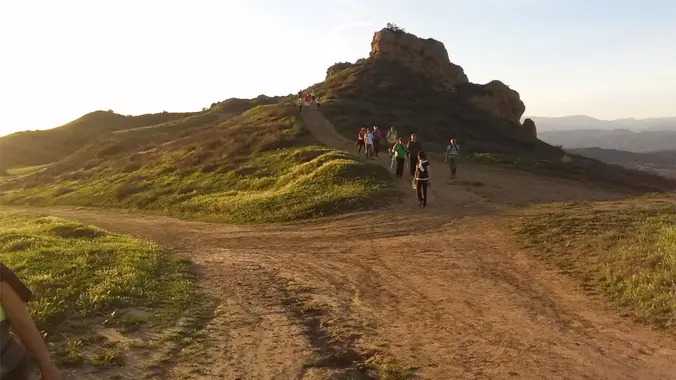
Long Canyon – Easy cc lollipop – the back way
572 Bannister Way 572 Bannister Way, Simi Valley, CA, US4.3 miles, 800' gain, Easy Intermediate. Easier Option: 3.2 miles, 400' gain, Fit Beginner. The address is not the address of the hike, but a nearby address that should get you to pass by the trailhead. The "cc" in the title means counter clockwise. We'll be stopping at various points to regroup. We will start […]

Cold Moonlight hike
Sheriff's Shooting Range Alfred Harrell Highway and Mirror Drive, Bakersfield, CA, USHike with glow sticks, and trekking poles only

Hollywood Sign via Canyon Drive and Bronson Cave
Lees Ferry Launch Spencer Trail, Marble Canyon, AZ, US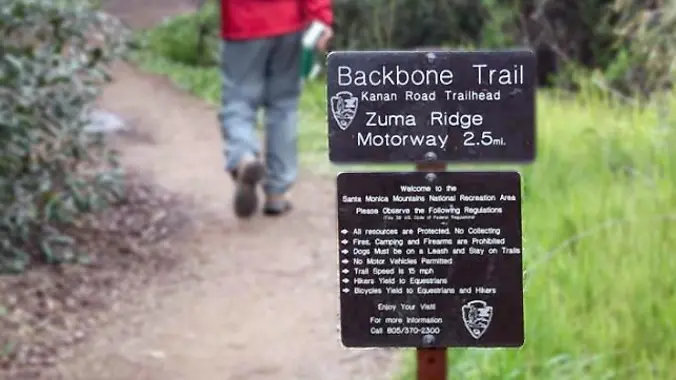
Doin’ the Big, Fig Newton Canyon (Fast Paced – 3+ mph)
BBT - Kanan Dume 1720 Kanan Dume Rd, Malibu, CA, UShttp://photos1.meetupstatic.com/photos/event/b/a/2/4/event_99467652.jpeg Hoping the trail will dry out a bit. The waterfall should be flowing. From the Kanan Rd trailhead, we'll jump on the Backbone Trail for a cruise down into Newton Canyon. On our way there, we'll cross the creek, pass under an oak canopy, and come out into an opening. At the opening, look […]

Hike at Whiting Ranch – Wahoo’s Parking Lot
Wahoo's Fish Taco 27412 Portola Parkway, Foothill Ranch, CA, USThis hike will be about 5.4 miles total with 820 ft. of elevation gain. We are starting at the parking lot at the Wahoo's parking lot. We will take Live Oak Trail. This turns into Serrano Road which will take us to Serrano Cow Trail. At this part of the trail, we usually see a […]
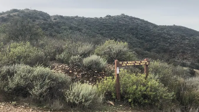
Triunfo to White Horse Loop – Intermediate Hike
Triunfo Community Park 1935 Tamarack St, Thousand Oaks, CA, USThis hike circles the trails between South Ranch and Conejo Ridge. The conditions are ideal for this 6 mile (1000 foot elevation gain) lollipop. As of Tuesday, the trails were well drained (NOT muddy) with panoramic views of Conejo Valley (Ladyface Mtn, Las Virgenes Reservoir, Lake Sherwood). We will start at the trailhead at Triunfo […]
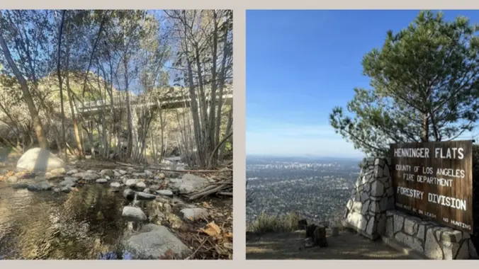
Henninger Flat via Eaton Canyon and bonus hike Eaton Canyon Falls
Lot 662: Lemoyne & Sunset 1152 Lemoyne St, Los Angeles, CA, US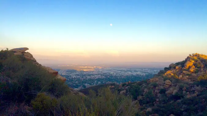
Stage Coach – Andora Trailhead – Easy Intermediate and Easy Option
9861 Andora Ave 9861 Andora Ave, Chatsworth, CA, US3.5 miles, 800' gain, easy intermediate Easy option: 450', 50' gain, short walk. The Easy Option does not start at the same place, but gets you to the social event. This hike will include an extended stay at the top, where we'll have a snack share social event for 30-60 minutes. Nearly the entire trail […]
[asa2_collection tpl=”Flex_1″ orderby=”rand” limit=”4″]2[/asa2_collection]
Trail statistics are approximate. For safety purposes always assume they are underestimated. But don’t be disappointed if they are overestimated. Bring more water and snacks than you think you’ll need. Trail descriptions are based on previous hikes. Current conditions are unknown until arrival. Expect the unexpected and plan accordingly. The Organizers and members of Hiking With Dean are not professional leaders, guides, or mountaineers. The function of the member or organizer is only to organize the trip. Each person who shows up for a trip/meetup (and their guest or guests) is responsible for his or her own safety. By attending a hike, or any other event organized by this group, you are acknowledging that you and any guests that you bring are aware of the risks, dangers and hazards associated with the activity and freely accept and fully assume all such risks, dangers and hazards, and further agree to release and discharge the Organizers, Members of the Hiking With Dean Meetup Group from and against any and all liability arising from your participation in the group activities per our ASSUMPTION OF RISK AND LIABILITY WAIVER and Section 6.2 of the Meetup.com Terms of Service. |
About Us
Meetuphikes.com is the brainchild of Dean, the founder and organizer of the Meetup hiking group Hiking With Dean. Here you will find past and upcoming Meetup group hikes from all over southern California. Don’t see your favorite group? Drop us a line and ask us to add it.
Recent Posts
-
 MRCA Park Closures and Re-Openings
June 17, 2025
 -
 Back to the Future
May 28, 2023
 -
 Chivo Canyon to Coquina Mine
May 21, 2023
 -
 Mission Point the Hard Way
May 12, 2023
 -
 Lower Zuma Canyon – Big Loop
March 24, 2023


Recent Comments