Site Search

Hiking Calendar

Ray Miller Trail in La Jolla Canyon ~ Gentler Intermediate

Ray Miller Trailhead Malibu, CA, US

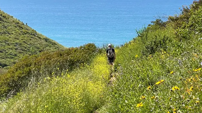
I pre-hiked the trail this morning and it is absolutely stunning with wildflowers beside the awesome blend of ocean and mountain views in Malibu’s La Jolla Canyon. The trail follows the canyon eastward, away from the ocean. Then, it quickly brings you back toward the ocean at a gradual incline. There’s a great lookout spot […]

Rancho Sierra Vista, Peace, Love, and Joy ~ Cooler, Gentler Hike

Rancho Sierra Vista Rancho Sierra Vista/Point Mugu, Newbury Park, CA, US

This is a cooler, gentler hike after a hot, hot weekend. Because of the heat, we will pace this as a gentler hike and we will take some breaks to let slower hikers catch up and turn around just before going up to the monument. We will start in the parking lot at Rancho Sierra […]

Dos Vientos – Easy Intermediate

Dos Vientos Community Park 4801 Borchard Road, Newbury Park, CA, US

5.2 miles, 1140' gain, easy-intermediate. Warning: Google Maps may take you to the incorrect location, although the address is correct. Please follow the written directions. The hike starts completely flat along a gravel track that moves around the Dos Vientos Community park. It then gently rises into the surrounding hills, continuing onto the Powerline trail. […]

Hike Bommer Ridge into Laguna Coast Wilderness – Loop

Crystal Cove SP/Laguna Coast - Ridge Park Entrance (map) Ridge Park Rd & E Coastal Peak, Newport Beach, CA, US

Let's try to beat the heat! We are going to start on Bommer Ridge Trail and take this to Lizard. We will go down that and loop back up to Bommer via Upper Laurel. The total distance for this hike is 4.5 miles with about 650 ft. of elevation gain. There are great mountain and […]

Hondo Canyon – The Shadiest Section of The Backbone Trail

BBT - Hondo Canyon 405 Old Topanga Canyon Rd, Topanga, CA, US

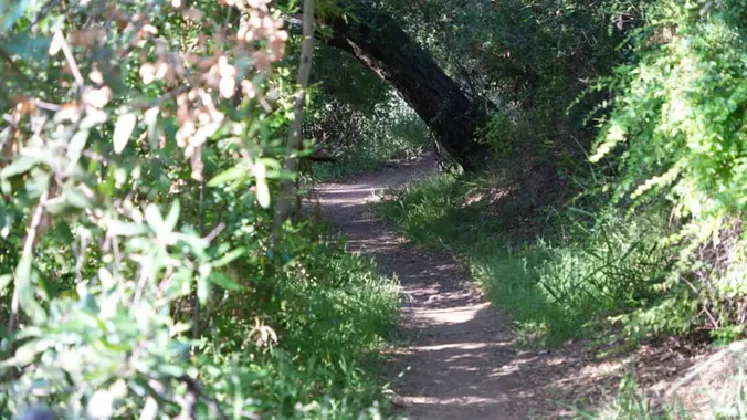
Another spectacular section of the Backbone Trail...this hike includes staggering views of pink colored sedimentary rock formations known as the Sespe Formation, Hondo canyon's pink "V" gourge, beautifully shaded live oak, streams and a sloping green meadow. Its perhaps one of the shadiest sections of the Backbone Trail. At the top we will see many […]

Oak Creek Canyon to Ventu Park Rd. (Fast Paced)

Oak Creek Canyon Trailhead 472 Greenmeadow Ave., Thousand Oaks, CA, US

http://photos2.meetupstatic.com/photos/event/b/0/e/c/event_80025292.jpeg Since the trail has been redesigned and is now about 8 1/2 miles, we will stop at Ventu Park Road for our break unless everyone wants to go on to Angel Vista. It will be warm, so we may slow the pace down a little. AUGUST 2021 UPDATE: Please review the newly revised guidelines […]

Malibu Creek State Park (MCSP) from Down Under ~ Heat-Modified

Tapia Co Park Agoura Hills, CA, US

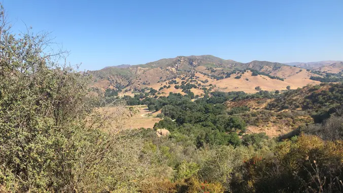
We will start this hike into MCSP from Tapia Park. The Tapia Park entrance is just before the Piuma intersection. Note: a day use fee (machine at entrance) is required if you don't have a State Park Pass. After you enter Tapia, drive to the picnic area and take a hard left onto Dorothy Lane. […]

EBIKE RIDE PAVED ROADS – CRYSTAL LAKE & HWY 39

Tapia Park 884 N. Las Virgenes Road, Calabasas, CA, US

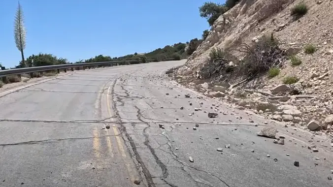
I've been wanting to travel on the upper end of Hwy 39 for years now, hoping that it would eventually be reopened. To get to the high country of the San Gabriel Mountains, I used to head up Hwy 39 out of Azusa to The Angeles Crest Hwy 2 at Islip Saddle. It's been closed […]

Wendy Lollipop

4128 Potrero Rd 4128 Potrero Rd, Thousand Oaks, CA, US

4.6 miles, 1000' gain, Easy Intermediate Easier Option - 2.7 miles, 320' gain Many have gotten lost relying on GPS. This is the Wendy Trailhead, where S. Wendy Dr. ends at Potrero Rd. Heading out, we cross a creek, turn right at the split, then Turn right at the dead end. We regroup at the […]

[asa2_collection tpl=”Flex_1″ orderby=”rand” limit=”4″]2[/asa2_collection]

Trail statistics are approximate. For safety purposes always assume they are underestimated. But don’t be disappointed if they are overestimated. Bring more water and snacks than you think you’ll need.

Trail descriptions are based on previous hikes. Current conditions are unknown until arrival. Expect the unexpected and plan accordingly.

The Organizers and members of Hiking With Dean are not professional leaders, guides, or mountaineers. The function of the member or organizer is only to organize the trip. Each person who shows up for a trip/meetup (and their guest or guests) is responsible for his or her own safety. By attending a hike, or any other event organized by this group, you are acknowledging that you and any guests that you bring are aware of the risks, dangers and hazards associated with the activity and freely accept and fully assume all such risks, dangers and hazards, and further agree to release and discharge the Organizers, Members of the Hiking With Dean Meetup Group from and against any and all liability arising from your participation in the group activities per our ASSUMPTION OF RISK AND LIABILITY WAIVER and Section 6.2 of the Meetup.com Terms of Service.