Site Search

Hiking Calendar

REI Outlet Event

Metro Orange Line Station Lot A 7170 Canoga Ave, Los Angeles, ca, US

REI's Outlet Event starts today! Promo Codes and details are at the HWD web site. REI Co-op Members will save an extra 25% on 6 great brands. While you are there, visit my curated REI product page here

PCT section A – from Montezuma Rd to Warner Springs day hike

Barrel Spring California, CA, US

S22 (Montezuma Valley Rd) to Warner springs (8 miles) with car staging on March 1. This is a short and easy PCT stretch to enjoy the start of the super bloom. We would start at Barrel Spring and then hike north to Warner Springs. Parking available at Barrel springs and “Pacific Crest Trail Parking Access […]

I: Winter Bus Trip to Mammoth Mountain – WAS, OCSS

Challenger Park Lot 105 Challenger Park Wy, Simi Valley, CA, US

Ski Downhill or Snowboard on Mammoth Mtn. Daily backcountry ski tours and snowshoe tours with the leaders. XC Ski or Snowshoe on your own at Tamarack Nordic Center. Newcomers & non-skiers Welcome. Tons of stuff to do in Mammoth in Winter. Quality Inn lodging, two per room, 2 beds/private bath, close to shopping, night life, […]

Death Valley Cottonwood-Marble Canyon Loop

36.61888, -117.3306 36.61888, -117.3306, Stovepipe Wells, ca, US

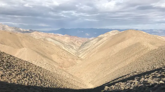
This is a great desert backpacking trip. One of only a few in Death Valley with water and the only loop that I know of. Mid-February should be a good chance to catch the wildflowers as well. Check out the photos from the last three trips: Fall 2016 trip: https://www.meetup.com/SanDiegoBackpackers/photos/235721845/ Fall 2017 trip: https://www.meetup.com/sandiegobackpackers/photos/28397936/ Winter […]

Worm Moonlight hike

Sheriff's Shooting Range Alfred Harrell Highway and Mirror Drive, Bakersfield, CA, US

Spring Wildflower 🌷🌺🌼 Hike to Democrat Dam

Shell gas station on 178 at Comanche Rd 5812 Commanche Dr., Bakersfield, ca, US

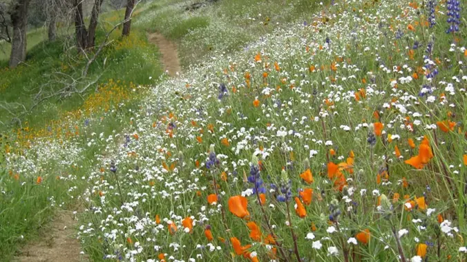
Come hike along the Kern River Trail (Flower Trail 🌷🌺🌼) to Democrat Dam. The hike is about 11 miles total to the Dam and back. It is moderate in difficulty, but subtable for new hikers. We will hike to the Dam and have a long lunch break. Then return hike to the trailhead. More specifics […]


Trail statistics are approximate. For safety purposes always assume they are underestimated. But don’t be disappointed if they are overestimated. Bring more water and snacks than you think you’ll need.

Trail descriptions are based on previous hikes. Current conditions are unknown until arrival. Expect the unexpected and plan accordingly.

The Organizers and members of Hiking With Dean are not professional leaders, guides, or mountaineers. The function of the member or organizer is only to organize the trip. Each person who shows up for a trip/meetup (and their guest or guests) is responsible for his or her own safety. By attending a hike, or any other event organized by this group, you are acknowledging that you and any guests that you bring are aware of the risks, dangers and hazards associated with the activity and freely accept and fully assume all such risks, dangers and hazards, and further agree to release and discharge the Organizers, Members of the Hiking With Dean Meetup Group from and against any and all liability arising from your participation in the group activities per our ASSUMPTION OF RISK AND LIABILITY WAIVER and Section 6.2 of the Meetup.com Terms of Service.