Site Search

Hiking Calendar

Jones and Hastings Peaks

Bailey Canyon Wilderness Park 451 W. Carter Ave., Sierra Madre, CA, US

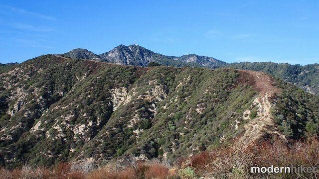
Get your Monday morning started with a brisk hike to Jones and Hastings peaks. The Numbers Distance: 8 mi Elevation gain: 3,000 ft. Rating 6/10, not for beginners Trail: Hiking trail with some calf-level brush on the way to Hastings. Parking: Lot and street. Keep the noise down so the neighbors don't create parking rules. […]

Long Canyon – Lower Loop

572 Bannister Way 572 Bannister Way, Simi Valley, CA, US

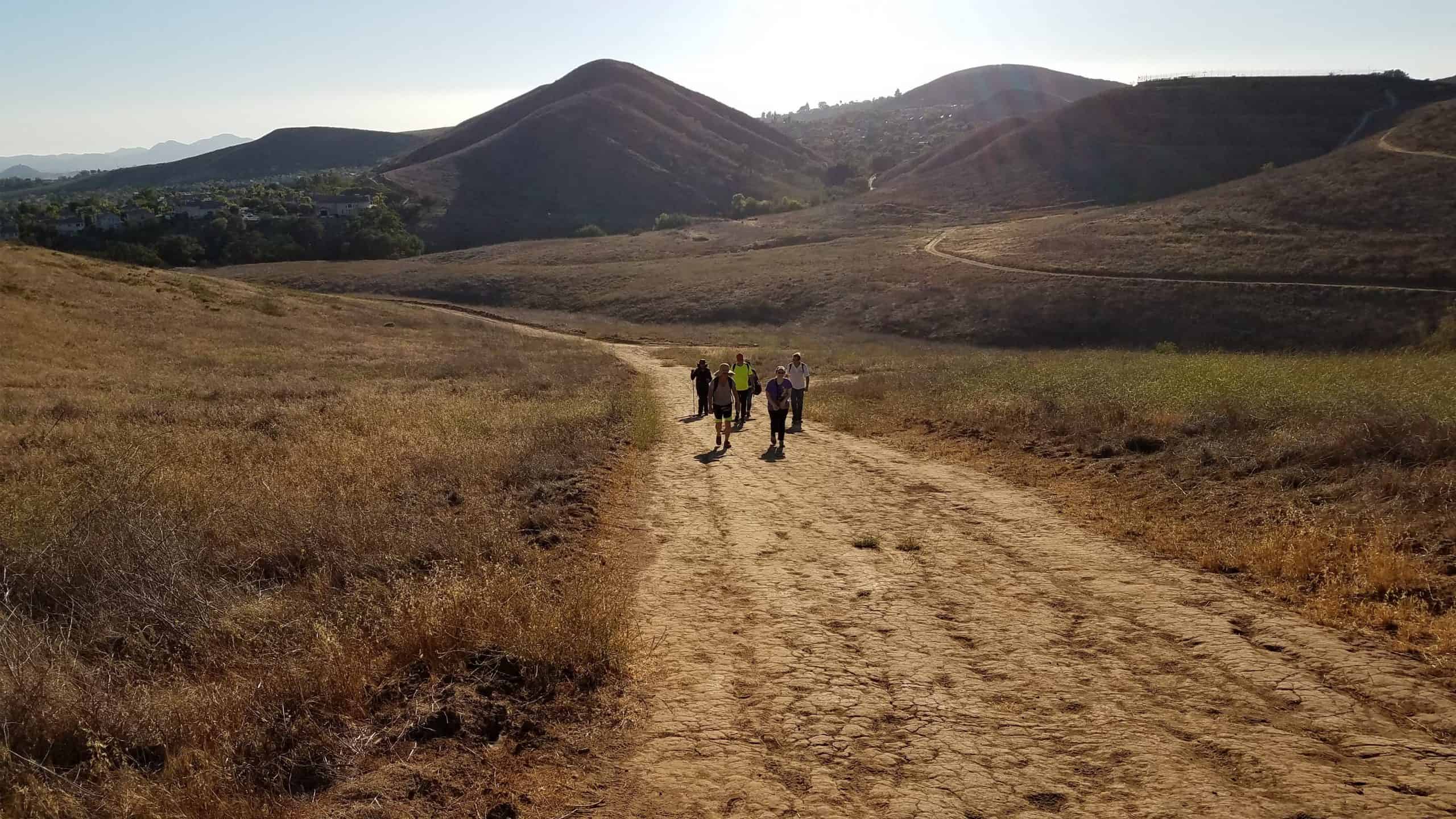
3.5 miles, 800' gain, Easy Intermediate. There are several extended inclines and a couple short but steep climbs. Fit beginners can do this hike, but they may be cursing some of the extended and steeper climbs. That's OK, because we'll be stopping at various points to regroup and this is not a conditioning hike. It […]

Inspiring & Challenging Steep Moonlight Hike to Parker Mesa Overlook

468 S Surfview Dr 468 S Surfview Dr, Pacific Palisades, CA, US

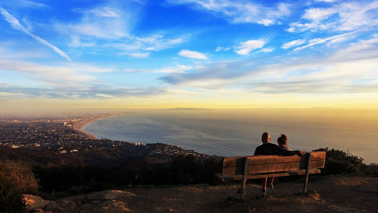
STATSDifficulty: 4/10, Moderate but steep uphillLength: 2.5 miles, 1.75 hours plus breaksElevation Gain & Loss: 1200’; Peak: 1523’View: Panoramic view of Malibu, ocean, West Side, DowntownDetails: This hike has some STEEP moments, is not on most trail maps & has 2 benches on top to relax on TRAILHEAD INFOThe trail head is at the end […]

Las Llajas – Suitable for beginners

Las Llajas Canyon Trail trailhead 5715 Evening Sky Drive, Simi Valley, CA, Simi Valley, CA, US

5 miles, 700' gain, Beginner. This hike is a great trail for beginners because all the elevation gain is distributed. It is a walk down a rolling fire road through a really cool canyon, and you will find no difficult or extended elevation climbs. This is one of my favorite trails for people new to […]

Rock Ridge to Simi Peak

6103 Deerhill Rd 6103 Deerhill Rd, Oak Park, CA, US

https://www.alltrails.com/trail/us/california/rock-ridge-to-simi-peak--2 Hello Fellow Hikers,Another route up to Simi Peak. However this way has a lot more elevation due to it being a shorter route. As the main review states "Initial up and down hills lead to the climb to China Flats and a gentle ascent to Simi Peak. Stunning views of Conejo and Simi Valley" […]

The Grand Canyon (not that one)

Chaney Trail gate 3730 Chaney Trail, Altadena, CA, US

Not for beginners-limited number of hikers. Rain cancels hike. Important: Parking is limited and carpooling will help. Also, the parking area fills up early so please arrive on time. This location does require a National Forest Adventure Pass for parked vehicles. The Stats Distance: <12 miles round trip Rating: 8/10 Elevation gain: 2500 ft. Trail: […]

Temescal Canyon Special

Temescal Gateway Park, Santa Monica Mountains Temescal Canyon Rd & W Sunset Blvd, Los Angeles, CA, US

Temescal Canyon is a very popular hiking spot with great views of the ocean and LA basin on clear days, a seasonal waterfall, and a densely wooded canyon. This looped hike is a nice workout at about 5 miles with a net elevation gain of about 1,200 ft. But this won't be your typical Temescal […]

Pentachaeta Loop

Pentachaeta Trail Head in Triunfo Canyon Park 32176 Triunfo Canyon Rd, Westlake Village, CA, US

https://www.alltrails.com/trail/us/california/pentachaeta-loop Hello Fellow Hikers,A lot of great reviews on this hike. This is a workout hike with great views as most people stated this trail has a lot of ups and downs it's a cardio hike for sure. definitely wear hiking or trail shoes for this one. We will be following the AllTrails map from […]

Bee Gees Tribute – Canyon Club, Agoura

28912 Roadside Dr 28912 Roadside Dr, Agoura Hills, CA, US

Tickets are $24.50 / $29 / $30 + $5-$10 processing fees. Many from this group, plus other friends, will attend this event at The Canyon Club. The band playing is Bee Gees Gold - Bee Gees tribute. This is a great indoor venue in Agora Hills.I'm told the dance floor will be clear for dancing […]

[asa2_collection tpl=”Flex_1″ orderby=”rand” limit=”4″]2[/asa2_collection]

Trail statistics are approximate. For safety purposes always assume they are underestimated. But don’t be disappointed if they are overestimated. Bring more water and snacks than you think you’ll need.

Trail descriptions are based on previous hikes. Current conditions are unknown until arrival. Expect the unexpected and plan accordingly.

The Organizers and members of Hiking With Dean are not professional leaders, guides, or mountaineers. The function of the member or organizer is only to organize the trip. Each person who shows up for a trip/meetup (and their guest or guests) is responsible for his or her own safety. By attending a hike, or any other event organized by this group, you are acknowledging that you and any guests that you bring are aware of the risks, dangers and hazards associated with the activity and freely accept and fully assume all such risks, dangers and hazards, and further agree to release and discharge the Organizers, Members of the Hiking With Dean Meetup Group from and against any and all liability arising from your participation in the group activities per our ASSUMPTION OF RISK AND LIABILITY WAIVER and Section 6.2 of the Meetup.com Terms of Service.