
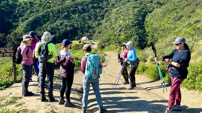
Wildwood Central Park ~ Gentler Intermediate
This is a second Gentler Hike on Thursday. It will also be at Wildwood, but starting from the main parking lot. Wildwood Park in Thousand Oaks is one of the […]

This is a second Gentler Hike on Thursday. It will also be at Wildwood, but starting from the main parking lot. Wildwood Park in Thousand Oaks is one of the […]

Come join the 19th annual Backbone Trek, hosted by the Santa Monica Mountains Trails Council! For a fee of $550 this guided event includes camping every night in a State […]
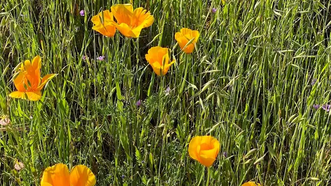
Let's meet under the solar panels near the community center entrance. This is a second, easier hike for Tuesday, and a little closer to home for some of us. This […]
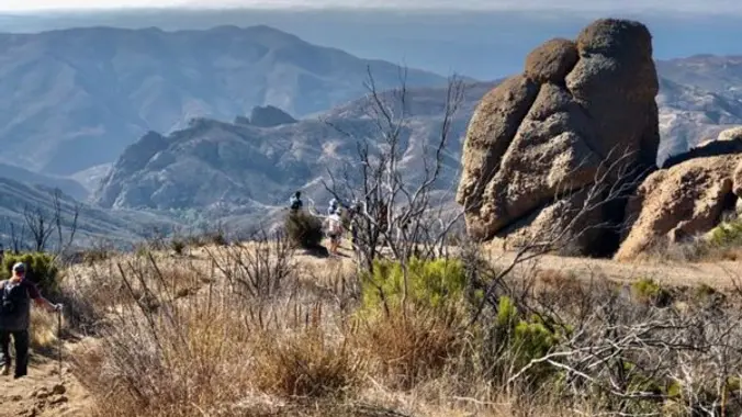
We'll be looping around the Backbone and Mishe Mokwa Trails for 6.5 miles, moving up approximately 1500' as we go. We'll pass Echo Cliffs, where rock climbers ascend sheer cliffs, […]

Meet at the Rosewood sign, which is at the Regal Oak Ct. and Lynn Rd. intersection. The hike is about 5 miles with an elevation gain/loss approximately 900’. We'll walk […]
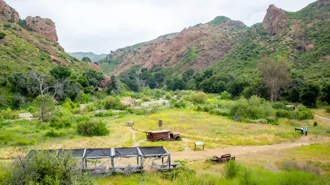
This week I will be working with the MCSP docents and CA State Parks to reinstall the bridge over Malibu Creek to MASH. We will likely be the first large […]

HIKE DETAILS: This is a gentler hike for Thursday, hopefully there will be a marine layer at the beach since we are starting at 9:00. This hike will go from […]
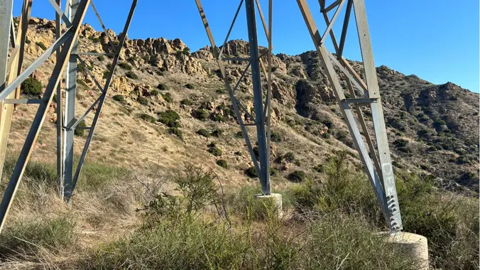
This will be the easier hike for Tuesday. We will also be a little slower and shorter. This out-and-back of 5-miles with an elevation gain/loss of +/-900’ provides a great […]
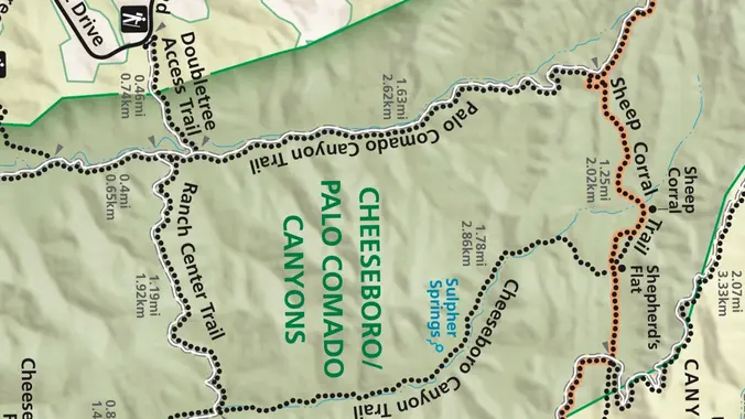
This week we’ll do a loop around the northeastern regions of the Santa Monica Mountains National Recreation Area and the Las Virgenes Open Space. This area traverses many ecosystems, including […]
Trail statistics are approximate. For safety purposes always assume they are underestimated. But don’t be disappointed if they are overestimated. Bring more water and snacks than you think you’ll need. Trail descriptions are based on previous hikes. Current conditions are unknown until arrival. Expect the unexpected and plan accordingly. The Organizers and members of Hiking With Dean are not professional leaders, guides, or mountaineers. The function of the member or organizer is only to organize the trip. Each person who shows up for a trip/meetup (and their guest or guests) is responsible for his or her own safety. By attending a hike, or any other event organized by this group, you are acknowledging that you and any guests that you bring are aware of the risks, dangers and hazards associated with the activity and freely accept and fully assume all such risks, dangers and hazards, and further agree to release and discharge the Organizers, Members of the Hiking With Dean Meetup Group from and against any and all liability arising from your participation in the group activities per our ASSUMPTION OF RISK AND LIABILITY WAIVER and Section 6.2 of the Meetup.com Terms of Service. |
 MRCA Park Closures and Re-Openings
June 17, 2025
MRCA Park Closures and Re-Openings
June 17, 2025 Back to the Future
May 28, 2023
Back to the Future
May 28, 2023 Chivo Canyon to Coquina Mine
May 21, 2023
Chivo Canyon to Coquina Mine
May 21, 2023 Mission Point the Hard Way
May 12, 2023
Mission Point the Hard Way
May 12, 2023 Lower Zuma Canyon – Big Loop
March 24, 2023
Lower Zuma Canyon – Big Loop
March 24, 2023
Recent Comments