

Montclef ridge route exploration
Having not been successful on my first attempt I’m going to explore an alternative route. I will also be tagging a nearby peak by lizard rock. 5-6 miles moderate “ish”. […]

Having not been successful on my first attempt I’m going to explore an alternative route. I will also be tagging a nearby peak by lizard rock. 5-6 miles moderate “ish”. […]
See photo above
The Bucksnort Trail is a beautiful 2.99 mile trail in the Sespe Wilderness in Ventura County . The trail connects the Agua Blanca Trail (19W10) and the Alder Creek Trail […]
We will meet at the McDonalds in Fillmore at 7 am. High clearance vehicle recommended. Carpooling is available at the McDonalds in Fillmore
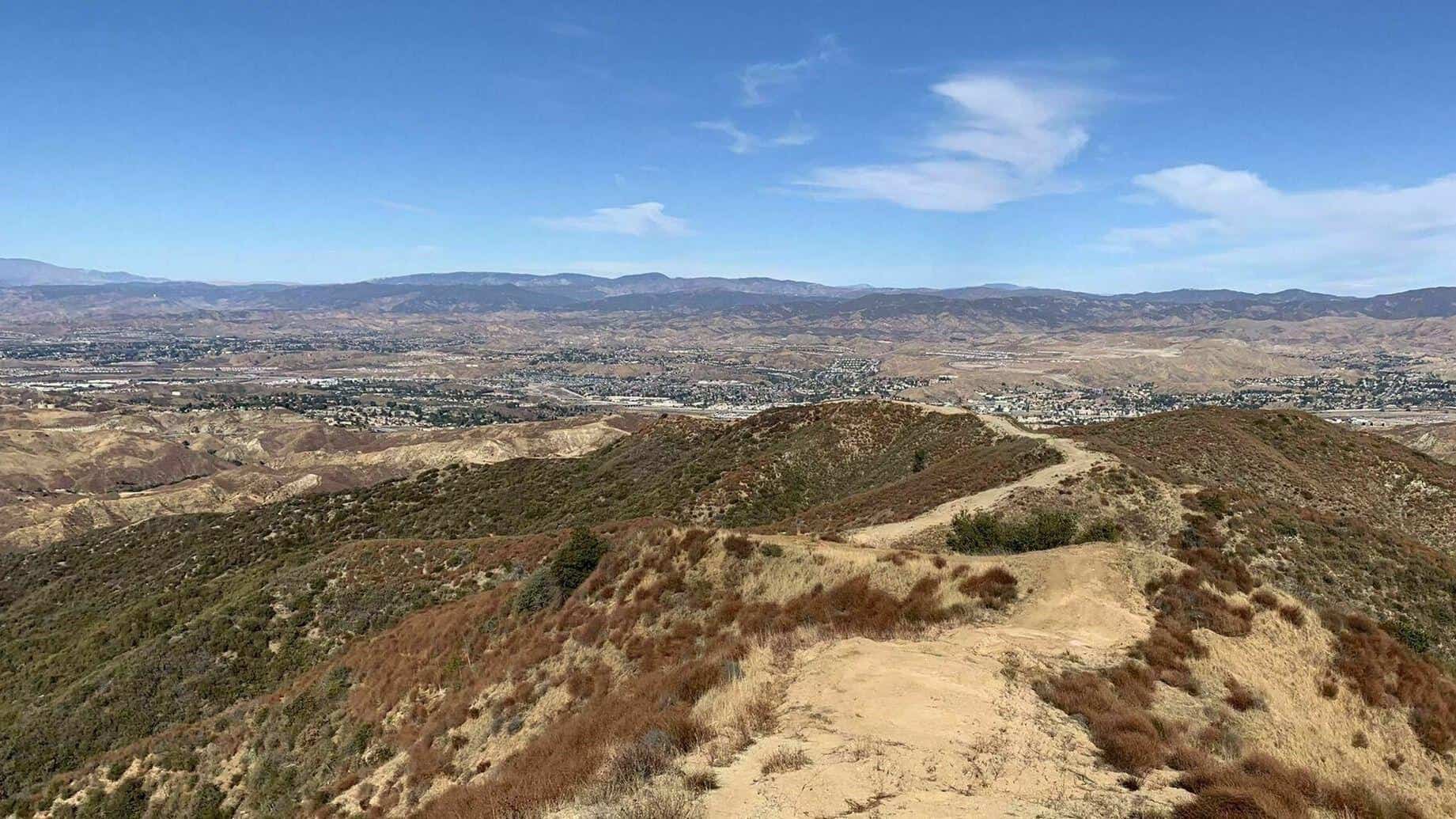
https://www.alltrails.com/explore/trail/us/california/santa-clara-divide-road-to-los-pinetos Hello Everyone! Okay time to get out and explore the Newhall/Santa Clarita area...This trail the locals call "The Beast" because it's a good up hill climb for a couple […]
Enter the parking lot from the eastern driveway of missionary church on foothill. Just putting in some work. 5ish miles. We will be hiking the single track to the road […]
https://www.alltrails.com/trail/us/california/thorn-point Thorn Point is a 7.2 mile lightly trafficked out and back trail located near Ojai, California that features beautiful wild flowers and is rated as moderate. The trail offers […]
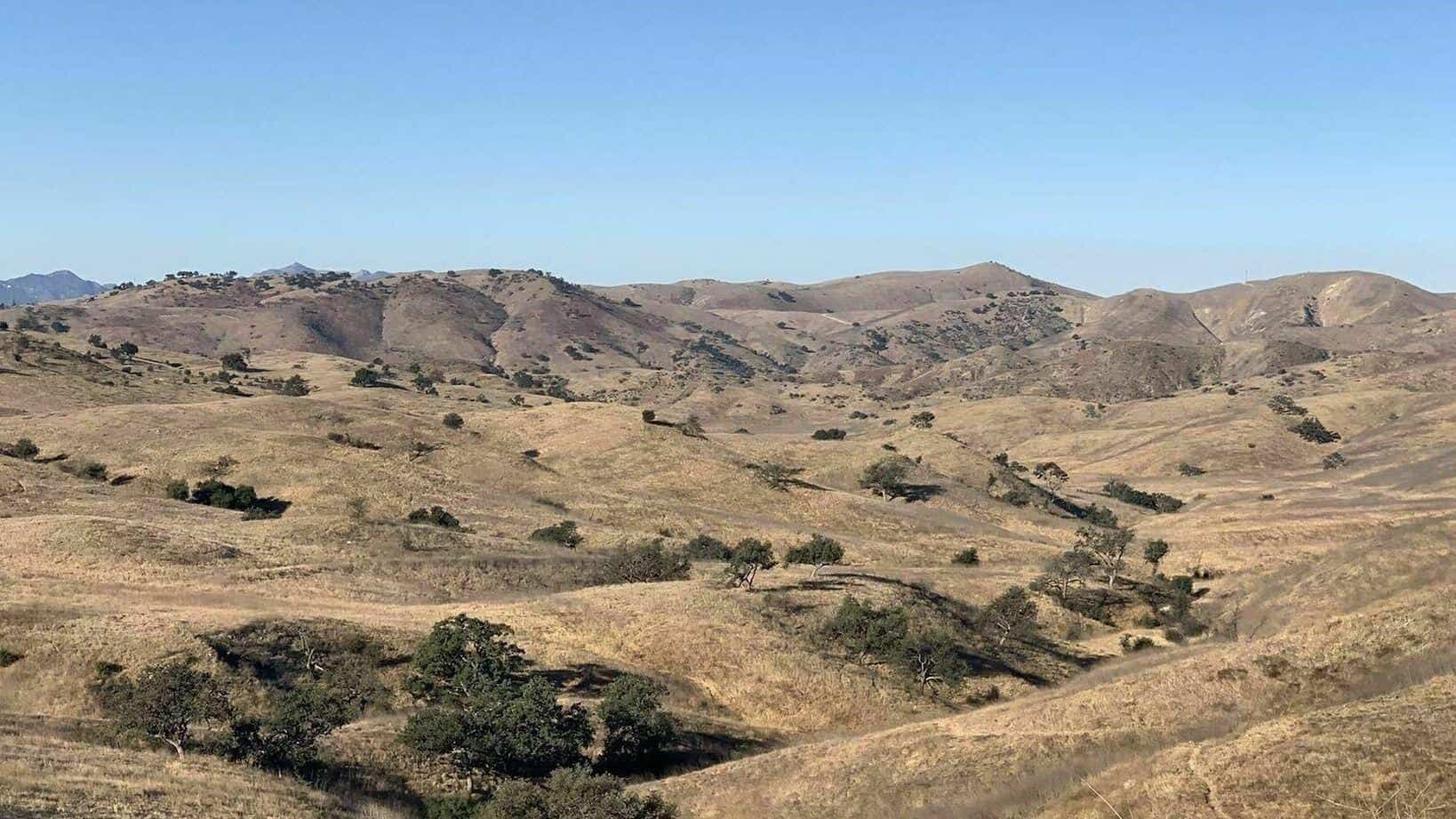
https://www.alltrails.com/explore/trail/us/california/laskey-mesa-trail Hello fellow hikers....Gonna be Hiking Laskey Mesa Trail. This trail is actually named Lasky Mesa it goes through the Santa Monica Mountains and also connects with Upper Las Virgenes […]
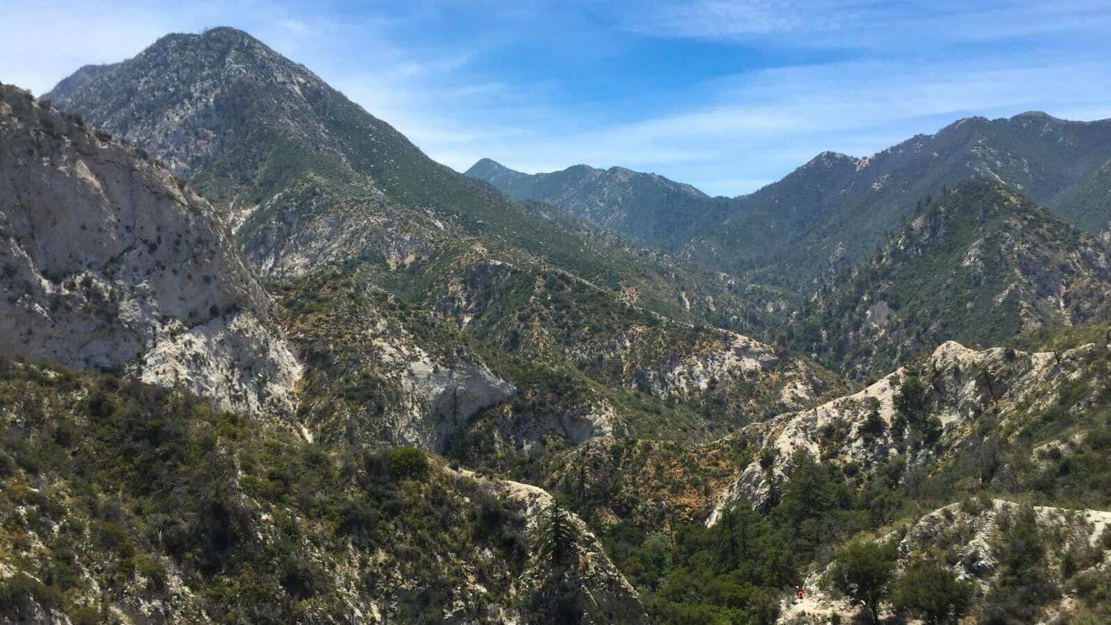
Okay all you backpackers and peak baggers this one's for you. Hiking a little known trail called Mount Gleason. This is a loooong one (18 miles) But the elevation gain […]
Trail statistics are approximate. For safety purposes always assume they are underestimated. But don’t be disappointed if they are overestimated. Bring more water and snacks than you think you’ll need. Trail descriptions are based on previous hikes. Current conditions are unknown until arrival. Expect the unexpected and plan accordingly. The Organizers and members of Hiking With Dean are not professional leaders, guides, or mountaineers. The function of the member or organizer is only to organize the trip. Each person who shows up for a trip/meetup (and their guest or guests) is responsible for his or her own safety. By attending a hike, or any other event organized by this group, you are acknowledging that you and any guests that you bring are aware of the risks, dangers and hazards associated with the activity and freely accept and fully assume all such risks, dangers and hazards, and further agree to release and discharge the Organizers, Members of the Hiking With Dean Meetup Group from and against any and all liability arising from your participation in the group activities per our ASSUMPTION OF RISK AND LIABILITY WAIVER and Section 6.2 of the Meetup.com Terms of Service. |
 MRCA Park Closures and Re-Openings
June 17, 2025
 Back to the Future
May 28, 2023
 Chivo Canyon to Coquina Mine
May 21, 2023
 Mission Point the Hard Way
May 12, 2023
 Lower Zuma Canyon – Big Loop
March 24, 2023
Recent Comments