Site Search

Valencia Hiking Crew

Jones and Hastings Peaks

Bailey Canyon Wilderness Park 451 W. Carter Ave., Sierra Madre, CA, US

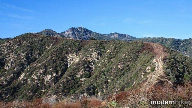
Get your Monday morning started with a brisk hike to Jones and Hastings peaks. The Numbers Distance: 8 mi Elevation gain: 3,000 ft. Rating 6/10, not for beginners Trail: Hiking trail with some calf-level brush on the way to Hastings. Parking: Lot and street. Keep the noise down so the neighbors don't create parking rules. […]

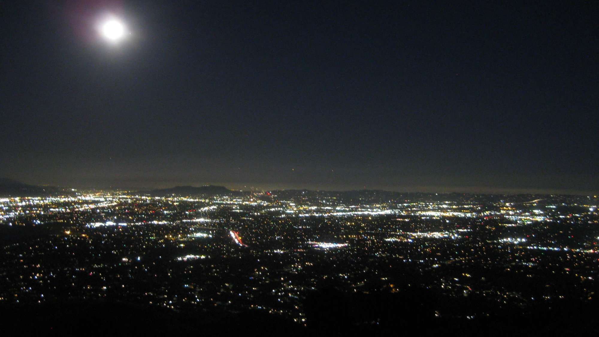
Inspiring & Challenging Steep Moonlight Hike to Parker Mesa Overlook

468 S Surfview Dr 468 S Surfview Dr, Pacific Palisades, CA, US

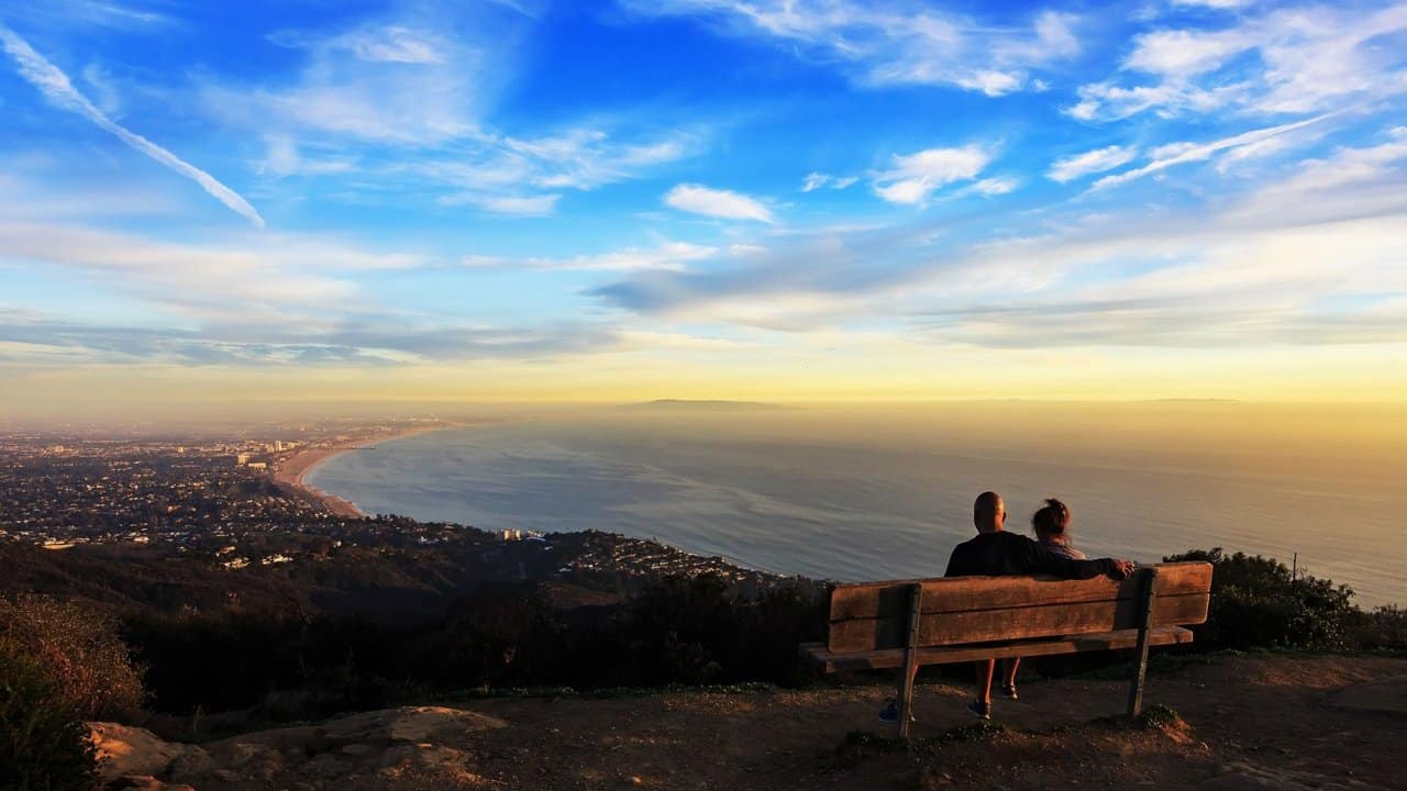
STATSDifficulty: 4/10, Moderate but steep uphillLength: 2.5 miles, 1.75 hours plus breaksElevation Gain & Loss: 1200’; Peak: 1523’View: Panoramic view of Malibu, ocean, West Side, DowntownDetails: This hike has some STEEP moments, is not on most trail maps & has 2 benches on top to relax on TRAILHEAD INFOThe trail head is at the end […]

The Grand Canyon (not that one)

Chaney Trail gate 3730 Chaney Trail, Altadena, CA, US

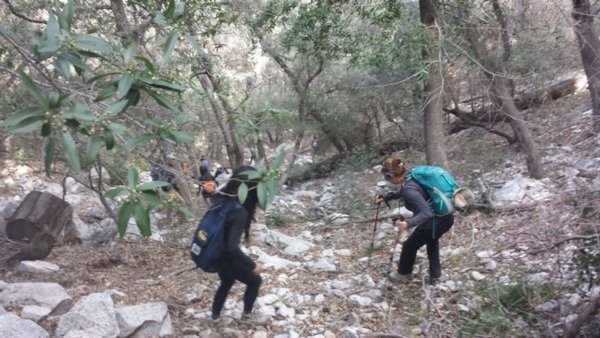
Not for beginners-limited number of hikers. Rain cancels hike. Important: Parking is limited and carpooling will help. Also, the parking area fills up early so please arrive on time. This location does require a National Forest Adventure Pass for parked vehicles. The Stats Distance: <12 miles round trip Rating: 8/10 Elevation gain: 2500 ft. Trail: […]

Chivo Canyon to Las Llajas

Las Llajas Canyon Trail 5715 Evening Sky Rd, Simi Valley, Ca, US

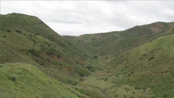
Join me for a brisk loop hike in the hills above Simi Valley. The Numbers:Distance: 9 mi Elevation: ~1800 ft Rating: 6/10 Trail: Fire-road and trail. ******************************************************************* PLEASE - Know your limits and abilities. Bring snacks and drink plenty of liquids when hiking. Check weather conditions and dress accordingly and be aware of your surroundings […]

Inspiring & Challenging Steep Moonlight Hike: Mission Peak Loop in Granada Hills

18000 Sesnon Blvd 18000 Sesnon Blvd, Granada Hills, CA, US

STATSDifficulty: 4/10, Steep up & down, with some slippery spotsLength: 3 miles, 2 hours plus breaksElevation Gain & Loss: 1225’; Peak: 2700’View: Amazing 360 View of Valleys and MountainsDetails: This hike has some STEEP moments but has a bench at the top to relax on. We made a new uphill trail, which is not on […]

Oak Spring and Yerba Buena Ridge Loop

Oak Spring Trail (Gold Creek Trailhead) 9998-9954 Gold Creek Rd, Sylmar, CA, US

This is a lightly traveled loop trail in seldom seen Angeles Forest back country. Due to the fact that there is no shade on this hike it is best conducted in the winter or early spring when temps are cool and everything is green from rain. The reward for this hike are the incredible vistas […]

Inspiring/Challenging/Steep Moonlight Hike: Caballero Lp Trl off Reseda(Tarzana)

4047 Reseda Blvd 4047 Reseda Blvd, Tarzana, CA, US

STATSDifficulty: 5/10, Moderate but steep uphillLength: 4 miles, 2 hours plus breaksElevation Gain & Loss: 1400’View: Cross-valley view and Ocean on clear nightsDetails: Steeper uphill, easier downhill TRAILHEAD INFOPark on the street near the address. Night-hiking in LA is amazing! Trails are practically empty, breeze is cool, & the beautiful city below you offers unlimited […]

Camp Idle Hour Via Echo Mountain

At the corner of Pinecrest Dr. and Crescent Dr At the corner of Pinecrest Dr & Crescent Dr, Altadena, CA, US

Waitlisted-limited -Prioritizing to those who I have hiked with this trail before then I will add if I know you can complete the hike at groups pace (my pace) safely. The StatsDistance: 14Rating: 8/10Elevation Gain: 4000Trail: Mostly trail, with some fire road. NOT FOR BEGINNERS AND NO SWEEPERIntermediate and advanced hikers only Covid Vaccinated only […]

Sierra Madre to Orchard Camp

Mount Wilson Trail Park 189 E Mira Monte Ave, Sierra Madre, CA, US

Start off your super day with a brisk hike to Orchard Camp. The NumbersDistance: 7 miElevation gain: 2,000 ft.Rating 6/10, not for beginnersTrail: Hiking trailParking: Street. Two important items: 2. Curb your tires 1. Keep the noise down so the neighbors don't create parking rules. ******************************************************************* PLEASE - Know your limits and abilities. Bring snacks […]


Trail statistics are approximate. For safety purposes always assume they are underestimated. But don’t be disappointed if they are overestimated. Bring more water and snacks than you think you’ll need.

Trail descriptions are based on previous hikes. Current conditions are unknown until arrival. Expect the unexpected and plan accordingly.

The Organizers and members of Hiking With Dean are not professional leaders, guides, or mountaineers. The function of the member or organizer is only to organize the trip. Each person who shows up for a trip/meetup (and their guest or guests) is responsible for his or her own safety. By attending a hike, or any other event organized by this group, you are acknowledging that you and any guests that you bring are aware of the risks, dangers and hazards associated with the activity and freely accept and fully assume all such risks, dangers and hazards, and further agree to release and discharge the Organizers, Members of the Hiking With Dean Meetup Group from and against any and all liability arising from your participation in the group activities per our ASSUMPTION OF RISK AND LIABILITY WAIVER and Section 6.2 of the Meetup.com Terms of Service.