Site Search

Valencia Hiking Crew

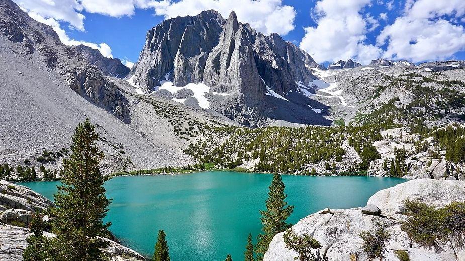
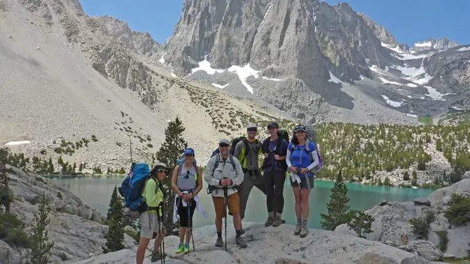
2-Night backpack of Big Pine Lakes Trail (Valencia Hiking Crew)

Big Pine Creek Overnight Parking Big Pine, CA, US

Description: This is a 2-night backpacking trip. There are two trailheads to do this hike. One is at the "Big Pine Creek Overnight Parking." And the other is at the "Big Pine Creek Trailhead," which is at the end of the road going towards the cabins. On May 7, 2022, we meet at the "Big […]

Mt. Lowe Railway Loop – 11.4 miles / 2,800′ elevation gain

Cobb Estate Hike 3302 Lake Ave, Altadena, CA, US

STATS: 11.4 miles with 2800’ elevation gain/loss. Total time expected to be about 5 hours. PACE: Slow to Moderate to Fast - go your own pace. I hike at an intermediate pace, but will wait for slower hikers at various trail junctions, if needed. Again, no beginners. Hiking poles are recommended for the downhill sections, […]

Mt. Baldy via the Ski-Hut Trail – Return via the Notch

Manker Flats Parking Area Mount Baldy Road and Falls Road, Mount Baldy, CA, US

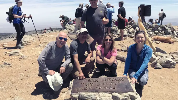
Hike to the summit via the Ski Hut trail and descend via the Backbone trail to the Notch and then via the service road back down to Manker Flats or take the lift, your choice Bring snacks for the summit and trail. Advanced Intermediate Hikers. You should have Mt. Baldy Summit experience via the Backbone […]

Full Moon Hike to the Wishing Tree in the Verdugos with Bonus Full Lunar Eclipse

Olive Terrace Walking Trail 10031 Olivia Terrace, Sun Valley, CA, US

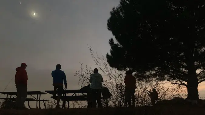
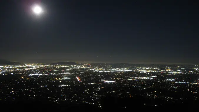
We haven't done a full moon hike in a while and this is a good trail to do if you are a regular hiker but haven't tried a night hike before. Turns out there's a lot going on tonight: May’s full Moon is the first supermoon of the year! A supermoon is most commonly defined […]

Inspiring & Challenging STEEP Moonlight Hike: Mission Peak Loop in Granada Hills

18000 Sesnon Blvd 18000 Sesnon Blvd, Granada Hills, CA, US

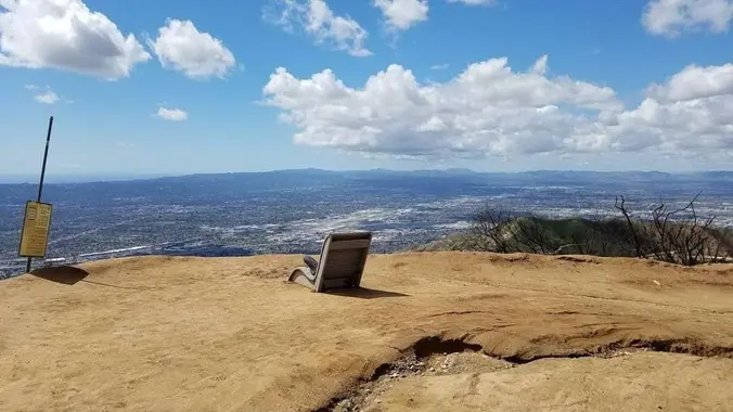
**STATS** Difficulty: 4/10, Steep up & down, with some slippery spots Length: 3 miles, 2 hours plus breaks Elevation Gain & Loss: 1225’; Peak: 2700’ View: Amazing 360 View of Valleys and Mountains Details: This hike has some STEEP moments but has a bench at the top to relax on. We made a new uphill […]

Fryman Canyon to Mulholland

A Private Home 12156 Laurel Terrace Dr, Studio City, CA, US

It's that time of the year again-early bird hikes! We will do the route we did last time. Sachika is the event host and it will be at her pace! Not for beginners. Write up is Don's THE STATS Distance: 8> miles Elevation Gain: 1600 cumulative Rating: 5/10 Trail, out & back on fire roads, […]

Challenging Steep Long Sunset Night Hike: DeBell to top of Verdugo Loop

2300 E Walnut Ave 2300 E Walnut Ave, Burbank, CA, US

STATS Difficulty: 5/10, Moderate-Long with steep sections Length: 5.4 miles, 3 hours + breaks Elevation: Gain/loss: 2200' Range: 1500-3000' View: Mountains & City Lights Details: Long Hike, Great views from top ridge TRAILHEAD INFO 2300 E Walnut Ave, Burbank, CA 9150 Map pin is south of address due to gates that get locked at sunset. […]

Dawn Mine-From Chaney Trail

Chaney Trail chaney trail and mt. lowe road, altadena, CA, US

The Stats Distance: 7> a guess Rating: 7 a guess Elevation gain: a guess) Trail: Looped single track Pace: Not for beginners -will be at my pace The Plan Our route starts at Chaney Trail trailhead and follows the fire road and Sunset Ridge Trail up to Dawn Station, then descends to the mine, after […]

Inspiring & Challenging STEEP night Hike: Mission Peak Loop in Granada Hills

18000 Sesnon Blvd 18000 Sesnon Blvd, Granada Hills, CA, US

**STATS** Difficulty: 4/10, Steep up & down, with some slippery spots Length: 3 miles, 2 hours plus breaks Elevation Gain & Loss: 1225’; Peak: 2700’ View: Amazing 360 View of Valleys and Mountains Details: This hike has some STEEP moments but has a bench at the top to relax on. We made a new uphill […]


Trail statistics are approximate. For safety purposes always assume they are underestimated. But don’t be disappointed if they are overestimated. Bring more water and snacks than you think you’ll need.

Trail descriptions are based on previous hikes. Current conditions are unknown until arrival. Expect the unexpected and plan accordingly.

The Organizers and members of Hiking With Dean are not professional leaders, guides, or mountaineers. The function of the member or organizer is only to organize the trip. Each person who shows up for a trip/meetup (and their guest or guests) is responsible for his or her own safety. By attending a hike, or any other event organized by this group, you are acknowledging that you and any guests that you bring are aware of the risks, dangers and hazards associated with the activity and freely accept and fully assume all such risks, dangers and hazards, and further agree to release and discharge the Organizers, Members of the Hiking With Dean Meetup Group from and against any and all liability arising from your participation in the group activities per our ASSUMPTION OF RISK AND LIABILITY WAIVER and Section 6.2 of the Meetup.com Terms of Service.