Site Search

Valencia Hiking Crew

Sudden Hike ~ Skyline Trail in Honor of Don T.

Skyline Trailhead 300 South Via Montana, Burbank, CA, US

*** YOU MUST BRING A FACE COVERING to meet up at the trailhead and to use on trail when it is not possible to avoid close proximity to other hikers. […]

ZUMA – Ridge and Scramble Loop

Backbone Trail - Kanan Trailhead Kanan Dume Rd, Malibu, CA

*** YOU MUST BRING A FACE COVERING to meet up at the trailhead and to use on trail when it is not possible to avoid close proximity to other hikers. […]

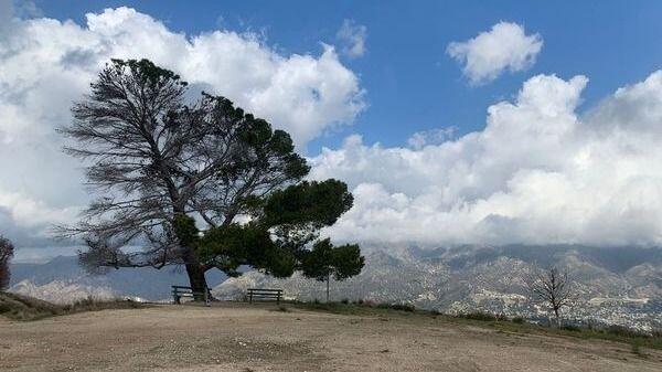
Tree of Life in the Verdugos-loop

7415 La Tuna Canyon Rd 7415 La Tuna Canyon Rd, Sun Valley, CA, US

*** YOU MUST BRING A FACE COVERING to meet up at the trailhead and to use on trail when it is not possible to avoid close proximity to other hikers. […]

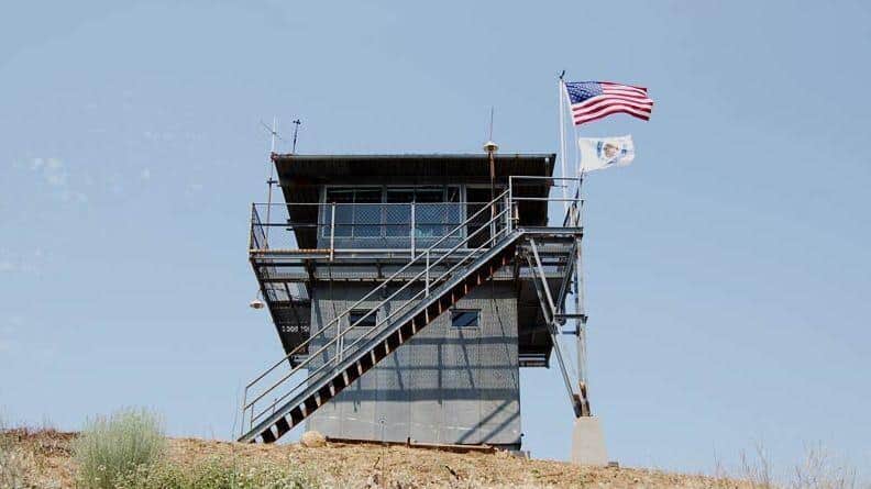
Slide Mountain Fire Lookout Tower

Frenchmans Flat Campground Castaic, CA, US

Details Distance: 11 miles RT, out and back Elevation Gain: 2,600 approx. If you enjoy a good workout hike that ends with a great 360 degree view of the North […]

Mission Peak from Neon Way Conditioning Hike

Mission Peak 12999 Neon Way, Granada Hills, CA, US

Description:The hike ascends to Mission Point, aka Mission Peak, via the Mario A DeCampos Trail. The peak is the second highest summit in the Santa Susana mountain range behind Oat […]

Camp Idle Hour Via Echo Mountain

At the corner of Pinecrest Dr. and Crescent Dr At the corner of Pinecrest Dr & Crescent Dr, Altadena, CA, US

Waitlisted-limited -Prioritizing to those who I have hiked with this trail before and who I know for sure hikes at group's pace (Carmen's), follows CDC guidelines, s. distancing, wears a […]

Iron Mountain (strenuous)

Bridge to Nowhere - Trailhead Camp Bonita Rd, La Verne, CA, US

So all you have been doing for months is getting outdoors and hiking & running. Let's do Big Iron! The Numbers:Distance: 14 miElevation Gain: 7200 ft, it's a doozy!Rating: 9/10Trail: […]

Manzanita Ridge via the Mt. Wilson Trail

189 E Mira Monte Ave 189 E Mira Monte Ave, Sierra Madre, CA, US

Distance: 10.2 miElevation gain: 3,700'Route type: Out & backWell-trafficked, single track trail with some steep drop-offsNOT FOR BEGINNERS This is a moderate hike with a nice and steady incline. The […]

[asa2_collection tpl=”Flex_1″ orderby=”rand” limit=”4″]2[/asa2_collection]

Trail statistics are approximate. For safety purposes always assume they are underestimated. But don’t be disappointed if they are overestimated. Bring more water and snacks than you think you’ll need.

Trail descriptions are based on previous hikes. Current conditions are unknown until arrival. Expect the unexpected and plan accordingly.

The Organizers and members of Hiking With Dean are not professional leaders, guides, or mountaineers. The function of the member or organizer is only to organize the trip. Each person who shows up for a trip/meetup (and their guest or guests) is responsible for his or her own safety. By attending a hike, or any other event organized by this group, you are acknowledging that you and any guests that you bring are aware of the risks, dangers and hazards associated with the activity and freely accept and fully assume all such risks, dangers and hazards, and further agree to release and discharge the Organizers, Members of the Hiking With Dean Meetup Group from and against any and all liability arising from your participation in the group activities per our ASSUMPTION OF RISK AND LIABILITY WAIVER and Section 6.2 of the Meetup.com Terms of Service.