Site Search

Valencia Hiking Crew

Graveyard Canyon EXPLORATORY

Graveyard Canyon California, CA, US

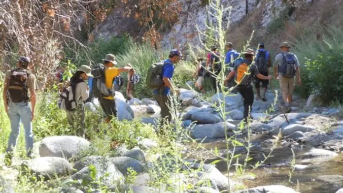
Distance: 7-10 miles, off-trail Elevation Gain: 1500-3000 feet Rating: 6/10 ? Not for beginners. For intermediate and advanced hikers only. This is a canyon off the East Fork of the […]

Laurel Canyon – The Bushwhack is Back

Dillon Divide Dillon Divide, Angeles National Forest, CA, US

Due to the Sand Fire in 2016 and the Creek Fire the following year, it was believed that the entire canyon we once spent a couple hours bushwhacking through was […]

Inspiring & Challenging Steep Moonlight Hike to Parker Mesa Overlook

468 S Surfview Dr 468 S Surfview Dr, Pacific Palisades, CA, US

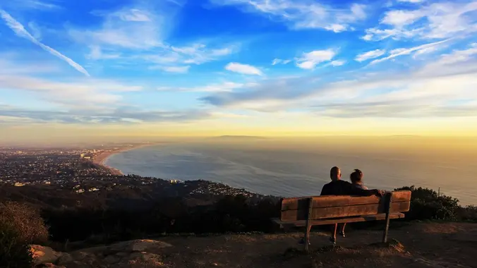
STATS Difficulty: 4/10, Moderate but steep uphill Length: 2.5 miles, 1.75 hours plus breaks Elevation Gain & Loss: 1200’; Peak: 1523’ View: Panoramic view of Malibu, ocean, West Side, Downtown […]

Eaton Saddle to Switzer Falls -Car Shuttle

Switzer Falls Parking Lot Switzer Truck Trail, Altadena, CA 91001, Altadena, CA, US

The Stats Wait-listed Not for beginners, no sweeper Distance: 10 miles> Elevation Gain: While mostly downhill, there will still be at least 1500 ft. of uphill. Rating: Moderate 7/10, off […]

Challenging Steep Long Sunset Night Hike: DeBell to top of Verdugo Loop

2300 E Walnut Ave 2300 E Walnut Ave, Burbank, CA, US

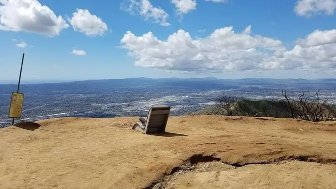
STATS Difficulty: 5/10, Moderate-Long with steep sections Length: 5.4 miles, 3 hours + breaks Elevation: Gain/loss: 2200' Range: 1500-3000' View: Mountains & City Lights Details: Long Hike, Great views from […]

Mt. Wilson Trail for Chili Cheese Dog

Mount Wilson Trail Park 189 E Mira Monte Ave, Sierra Madre, CA, US

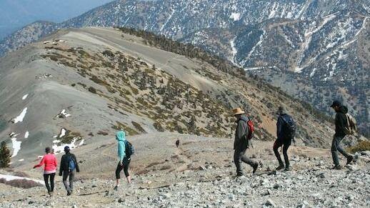
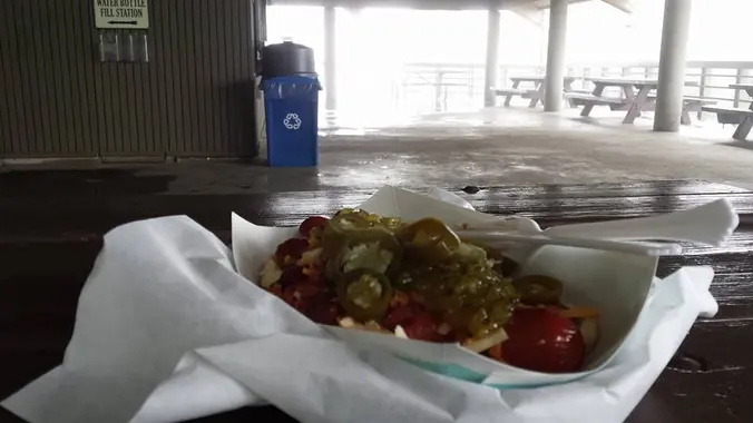
The Cafe is opening and join me for a brisk hike for a chili-cheese dog (unclear if they have jalapenos). The Numbers: Distance: 14 mi Elevation Gain: 5000 ft Rating: […]

Bear Divide to Placerita Car Shuttle

Placerita Canyon County Park 19152 Placerita Canyon Rd, Newhall, CA, US

Arrive at the Placerita Nature Center and be prepared to depart at 8:30 am sharp for a shuttle to the Bear Divide Trailhead. The trail immediately heads uphill and continues […]

[asa2_collection tpl=”Flex_1″ orderby=”rand” limit=”4″]2[/asa2_collection]

Trail statistics are approximate. For safety purposes always assume they are underestimated. But don’t be disappointed if they are overestimated. Bring more water and snacks than you think you’ll need.

Trail descriptions are based on previous hikes. Current conditions are unknown until arrival. Expect the unexpected and plan accordingly.

The Organizers and members of Hiking With Dean are not professional leaders, guides, or mountaineers. The function of the member or organizer is only to organize the trip. Each person who shows up for a trip/meetup (and their guest or guests) is responsible for his or her own safety. By attending a hike, or any other event organized by this group, you are acknowledging that you and any guests that you bring are aware of the risks, dangers and hazards associated with the activity and freely accept and fully assume all such risks, dangers and hazards, and further agree to release and discharge the Organizers, Members of the Hiking With Dean Meetup Group from and against any and all liability arising from your participation in the group activities per our ASSUMPTION OF RISK AND LIABILITY WAIVER and Section 6.2 of the Meetup.com Terms of Service.