Site Search

Santa Clarita Community Hiking Club

CHC Camping Trip: Sequoia National Forest, Stony Creek

Stony Creek Campground 36°39'53"N, 118°49'54"W, CA, United States

CHC Camping Trip Stony Creek Campground, Sequoia National Forest August 7-11, 2024 36° 39' 54.8820" N 118° 49' 58.0188" W Sequoia National Forest is a beautiful alpine area with some […]

Blue Ridge Trail

Wrightwood CA- Exact Address given for qualified candidates North Las Palmas Avenue, Los Angeles, ca, United States

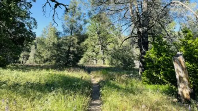
DESCRIPTION: This is a pleasant uphill hike on the north slope of Blue Ridge. Our trail starts up through stands of scrub oak, black oak, and Jeffrey pine, changing to […]

Ray Miller Backbone Trail to Overlook Trail and La Jolla Camp

BBT - Kanan Dume Rd Kanan Dume Road, Malibu, CA, United States

DESCRIPTION: We start at sea level at the back of the La Jolla Canyon Group Camping Parking Area to head up the Ray Miller Backbone Trail. The trail winds back […]

Water level check at Los Pinetos Waterfall Out and Back Style

Placerita Canyon Nature Center 19152 Placerita Canyon Rd, Newhall, CA, US

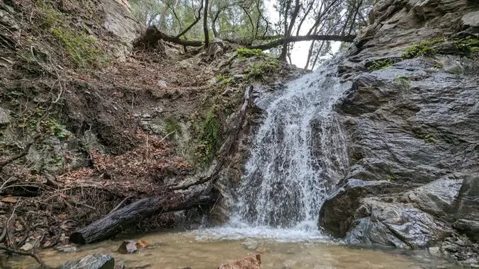
Nice and easy hike, if you are thinking about hiking and want to try something easy this is the hike for you! We will hike out to the waterfall area […]

Jackson Lake to Jackson Flats

Jackson Lake Valyermo, CA, United States

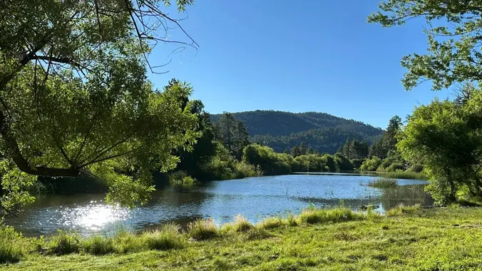
Jackson Lake to Jackson Flats DESCRIPTION: We’ll meet at scenic Jackson Lake early in an attempt to minimize the heat and crowds as usual. The Jackson Flat Trail forks left […]

Thorn point fire lookout

Canoga Avenue at Candice Pl - HWD Candice Place, Los Angeles, CA, United States

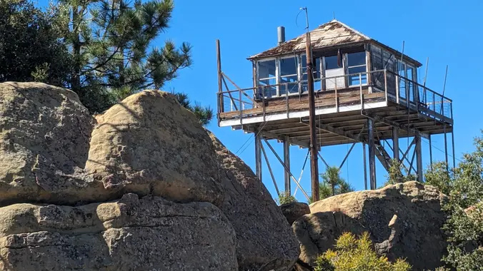
· Hike leader volunteer(s): Paul · Distance: 10.2 Miles total (out and back style) · Elevation gain: 2,084 ft · Time: Approximately 6.5 to 7 hours hiking including a snack […]

Dillon Divide to Dutch Louie’s Tunnel

Dillon Divide Dillon Divide, Angeles National Forest, CA, US

Saturday October 5, 2024: LOCAL - Pacoima Wash Canyon to Dutch Louie's Tunnel ***** RAIN OR SNOW FALLING AT TRAILHEAD CANCELS THIS HIKE ****** DISTANCE: 5 miles (out and back, […]


Trail statistics are approximate. For safety purposes always assume they are underestimated. But don’t be disappointed if they are overestimated. Bring more water and snacks than you think you’ll need.

Trail descriptions are based on previous hikes. Current conditions are unknown until arrival. Expect the unexpected and plan accordingly.

The Organizers and members of Hiking With Dean are not professional leaders, guides, or mountaineers. The function of the member or organizer is only to organize the trip. Each person who shows up for a trip/meetup (and their guest or guests) is responsible for his or her own safety. By attending a hike, or any other event organized by this group, you are acknowledging that you and any guests that you bring are aware of the risks, dangers and hazards associated with the activity and freely accept and fully assume all such risks, dangers and hazards, and further agree to release and discharge the Organizers, Members of the Hiking With Dean Meetup Group from and against any and all liability arising from your participation in the group activities per our ASSUMPTION OF RISK AND LIABILITY WAIVER and Section 6.2 of the Meetup.com Terms of Service.