Site Search

Santa Clarita Community Hiking Club

Coquina Mine Trail Loop – Marr Open Space/Simi Valley

Conejo Community Park (Hendrix) Hendrix Avenue 1175, Thousand Oaks, CA, United States

DESCRIPTION: This is a 6.3-mile trail loop near Simi Valley, California. Generally considered a moderately challenging route, it takes an average of 3 hours to complete. Most of the elevation gain occurs between miles 2-3, some segments are very steep. This is partly on a fire road and trail. Our destination is an historic strip-mining […]

Get off the beaten path with the local Lyons Ranch and Taylor Loop Trail

Humber Park Fern Valley Road 24559, Idyllwild-Pine Cove, CA, United States

DESCRIPTION: This hike is the first in a new collection of hikes targeted to explore local (or reasonably local) trails that are not necessarily the "shining stars" of local hikes. These hikes may be on lesser trails, or almost no trails at all - even game paths or seldom explored areas. These won't be our […]

Beach Hike on the beach and bluffs at Carpinteria

Viola Fields 6145 Carpinteria Ave, Carpinteria, CA, US

DESCRIPTION: This is a enjoyable hike along the beach and bluffs. Our hike starts at Viola Fields in Carpinteria. The trail takes us to Rincon Beach. Along the way we pass great views of the Pacific Ocean shore line. We descend down to the shore and enjoy a ocean breeze as we walk on the […]

Devil’s Gateway

Calabasas Bark Park Las Virgenes Road 4232, Calabasas, CA, United States

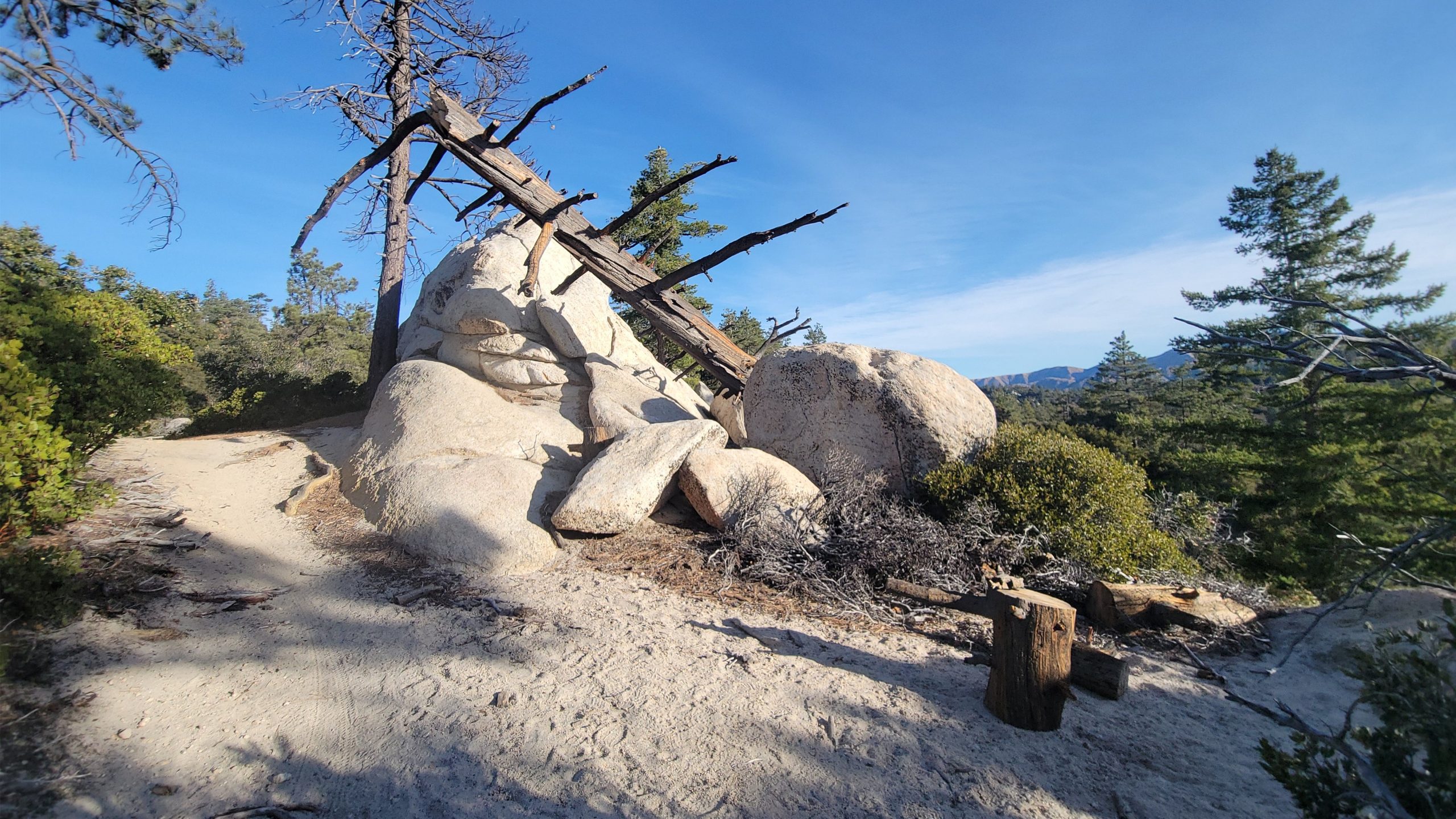
DETAILS: · Hike leader volunteer(s): Dave. · Meet: Pothole Trailhead in Angeles National Forest. · Distance: ~ 12,5 Miles total (out and back style) · Elevation gain: ~ 1, 745 · Time: Approximately 6-7 hours hiking including a couple of 15 minute breaks. · Conditioning: You'll need to be in generally good physical condition. · […]

Bear Creek Via Sespe River Trail

Hart Park Alfred Harrell Highway, Bakersfield, CA, United States

Bear Creek via Sespe River Trail DESCRIPTION: This is a 9-mile out-and-back trail near Ojai, California. Generally considered a moderately challenging route. This trail takes you along the Sespe River and into the beautiful Sespe wilderness, from lush areas to more open, dry stretches, and you'll enjoy beautiful views of the surrounding mountains and valleys. […]

Strawberry Meadows

16742 CA-116 Guernieville 16742 CA-116, Guerneville, CA, US

DESCRIPTION: Our delightful hike takes us over the mountain from Red Box to Strawberry Meadow, that is located In the protective shade of the great Strawberry Peak. We will enjoy a different view of the peak with granite cliffs and boulder stacked ridges. The trail will pass through clusters of dense chaparral, scrub oak, manzanita, […]

Mentryville: Pico Canyon Trail

Hart Park Alfred Harrell Highway, Bakersfield, CA, United States

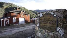
DESCRIPTION: It’s great to be planning hikes again after some time away to let a nagging foot injury heal. I’m starting with an old favorite that won’t be too hard for someone who hasn’t hiked in the better part of three months. It's exciting to be hiking again! We'll start from Mentryville (a historic SCV […]

Meandering hike at Placerita Canyon Natural Area to the Falls OUT and BACK

Placerita Canyon Nature Center 19152 Placerita Canyon Rd, Newhall, CA, US

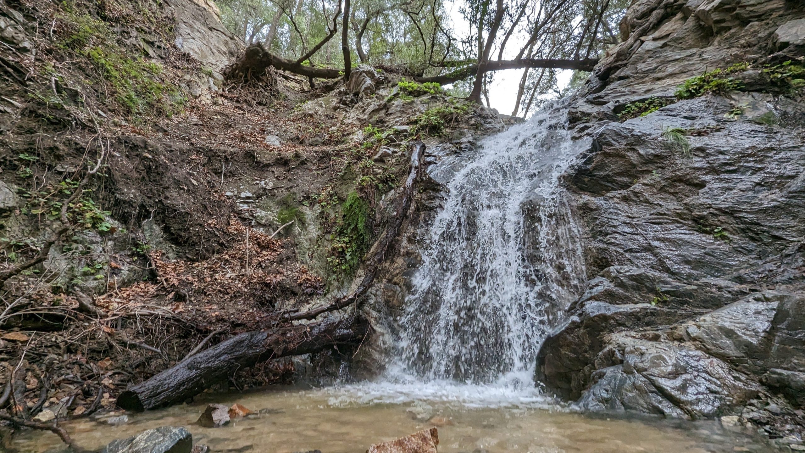
Nice and easy hike, if you are thinking about hiking and want to try something easy this is the hike for you! We will hike out to the waterfall area and see if there is any water in the waterfall. Chances are not likely but we shall see, there might even be some cool rocks! […]

[asa2_collection tpl=”Flex_1″ orderby=”rand” limit=”4″]2[/asa2_collection]

Trail statistics are approximate. For safety purposes always assume they are underestimated. But don’t be disappointed if they are overestimated. Bring more water and snacks than you think you’ll need.

Trail descriptions are based on previous hikes. Current conditions are unknown until arrival. Expect the unexpected and plan accordingly.

The Organizers and members of Hiking With Dean are not professional leaders, guides, or mountaineers. The function of the member or organizer is only to organize the trip. Each person who shows up for a trip/meetup (and their guest or guests) is responsible for his or her own safety. By attending a hike, or any other event organized by this group, you are acknowledging that you and any guests that you bring are aware of the risks, dangers and hazards associated with the activity and freely accept and fully assume all such risks, dangers and hazards, and further agree to release and discharge the Organizers, Members of the Hiking With Dean Meetup Group from and against any and all liability arising from your participation in the group activities per our ASSUMPTION OF RISK AND LIABILITY WAIVER and Section 6.2 of the Meetup.com Terms of Service.