Site Search

Santa Clarita Community Hiking Club

Chilao to Mt. Hillyer via Horse Flats Trail

Rancho Potrero Open Space Trailhead 34.156125°, -118.981800°, Thousand Oaks, CA, US

DESCRIPTION: This hike is finally being rescheduled from the January fires. Please note earlier start time due to summer temperatures. This a 6.8-mile loop near Mt. Wilson, California. Generally considered a moderately challenging route. We will go clockwise around the loop. There are beautiful views and interesting rock formations along the way. We will stop […]

Get your Water Shoes out! Fish Canyon to Piano Box Canyon

37773 Templin Hwy 37773 Templin Hwy, Castaic, CA, US

DESCRIPTION: This is a beautiful area containing 37 types of endangered species. It is prime yellow-legged frog and Arroyo Toad Habitat. Bring your camera. Not only is the area beautiful, but you might see some of the endangered species along the way. Please stay on the trails here and watch where you step during the […]

El Prieto

Leo Carrillo State Beach Leo Carrillo State Beach California 90265, https://goo.gl/maps/H33VQnXpx1WFZqdw5, Malibu, CA, US

DESCRIPTION: This is a 6.2-mile out-and-back trail near La Canada Flintridge, California. Generally considered a moderately challenging route. Approximately. the first 3/4 mile will be on a paved road. There is a decent amount of shade. This is a very popular area for birding, hiking, and mountain biking. There could be a lot of mountain […]

Upper Shake Campground, 7N23 than East via PCT

21033 Pine Canyon Rd 21033 Pine Canyon Rd, Lake Hughes, CA, US

Another warm day !!! Please bring lots of fluids; 3 liters are recommended. Temps mild with an early start ending @ mid to high 80's. DESCRIPTION: Initial challenging climb up a canyon with a running stream to an old Campground, then a long fire road to top towards Sawmill , then a long section of […]

Mt. Pinos to Sawmill Mt. and maybe Grouse.

Dead Horse Parking Lot 21935 Entrada Road, Topanga, CA, US

DESCRIPTION: We will take you away from the summer heat of SCV, dropping ~20 degrees to enjoy alpine views while listening to the wind gently caress huge pines. Starting at the Nordic Hut lot / trailhead (8340'), first we summit Mt. Pinos (8847') and then after descending some switchbacks, we ascend again to summit Sawmill […]

Ray Miller Backbone Trail to Overlook Trail and La Jolla Camp

Morro Bay State Park Campground Morro Bay Campground State Park Road Morro Bay, CA 93442, Morro Bay, CA, US

DESCRIPTION: We start at sea level at the back of the La Jolla Canyon Group Camping Parking Area to head up the Ray Miller Backbone Trail. The trail winds back and forth across the hillside providing spectacular views of the Pacific Coast Highway and the Pacific Ocean. We climb almost 1000' in the first 2.7 […]

Morro Bay Camping Trip, Thurs Aug 14 – Sun Aug 17, 2025

Morro Bay State Park Campground Morro Bay Campground State Park Road Morro Bay, CA 93442, Morro Bay, CA, US

CHC Camping Trip Morro Bay State Park Campground. August 14-17, 2025 Join us for a fun and educational beach campout! Morro Bay State Park is located 13 miles west of San Luis Obispo, on the Central Coast about 3.5 hours from Santa Clarita. The park features a lagoon and natural bay habitats, and a natural […]

Jackson Lake to Jackson Flats Observation Tower via PCT

Morro Bay State Park Campground Morro Bay Campground State Park Road Morro Bay, CA 93442, Morro Bay, CA, US

Jackson Lake to Jackson Flats Observation Tower via PCT DESCRIPTION: We’ll meet at scenic Jackson Lake early to minimize the heat and crowds. The Jackson Flat Trail forks left at the Boy Scout trail junction, and climbs up moderately to the top of the ridge and the PCT trail junction at 7400 ft. From here […]

Fun Beginer Hike – Gabrieleno Trail to Brown Mountain Dam – Out and Back

JPL Riparian Zone Explorer Rd, Altadena, CA, US

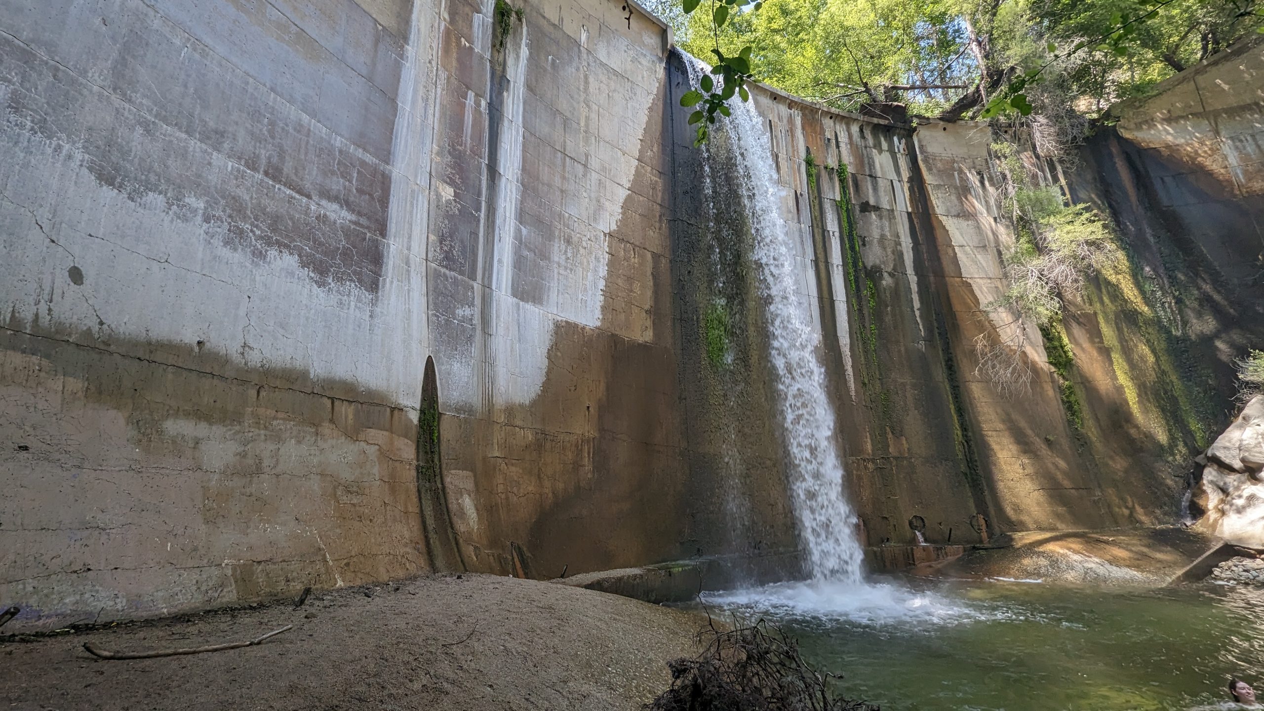
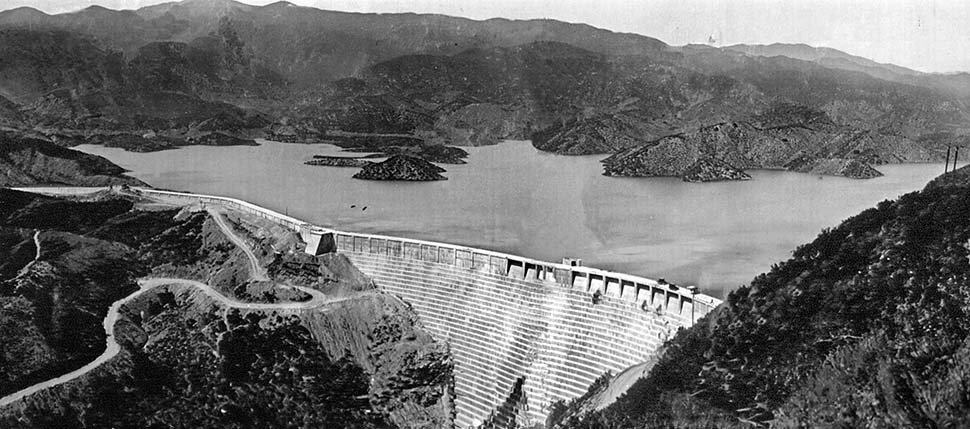
Meetup Time: 9:00 A.M. (We hit the trail at 9:15) DISTANCE: 8 miles – out and back. GAIN: 652 ft RATED: Beginner hike with some wet stream crossings. HIKE DURATION: About 3 1/2 to 4 hours (including a 20-minute snacky time!) DESCRIPTION: Brown Mountain Dam Trail, is nestled in the beautiful San Gabriel Mountains, offering […]

[asa2_collection tpl=”Flex_1″ orderby=”rand” limit=”4″]2[/asa2_collection]

Trail statistics are approximate. For safety purposes always assume they are underestimated. But don’t be disappointed if they are overestimated. Bring more water and snacks than you think you’ll need.

Trail descriptions are based on previous hikes. Current conditions are unknown until arrival. Expect the unexpected and plan accordingly.

The Organizers and members of Hiking With Dean are not professional leaders, guides, or mountaineers. The function of the member or organizer is only to organize the trip. Each person who shows up for a trip/meetup (and their guest or guests) is responsible for his or her own safety. By attending a hike, or any other event organized by this group, you are acknowledging that you and any guests that you bring are aware of the risks, dangers and hazards associated with the activity and freely accept and fully assume all such risks, dangers and hazards, and further agree to release and discharge the Organizers, Members of the Hiking With Dean Meetup Group from and against any and all liability arising from your participation in the group activities per our ASSUMPTION OF RISK AND LIABILITY WAIVER and Section 6.2 of the Meetup.com Terms of Service.