Site Search

Santa Clarita Community Hiking Club

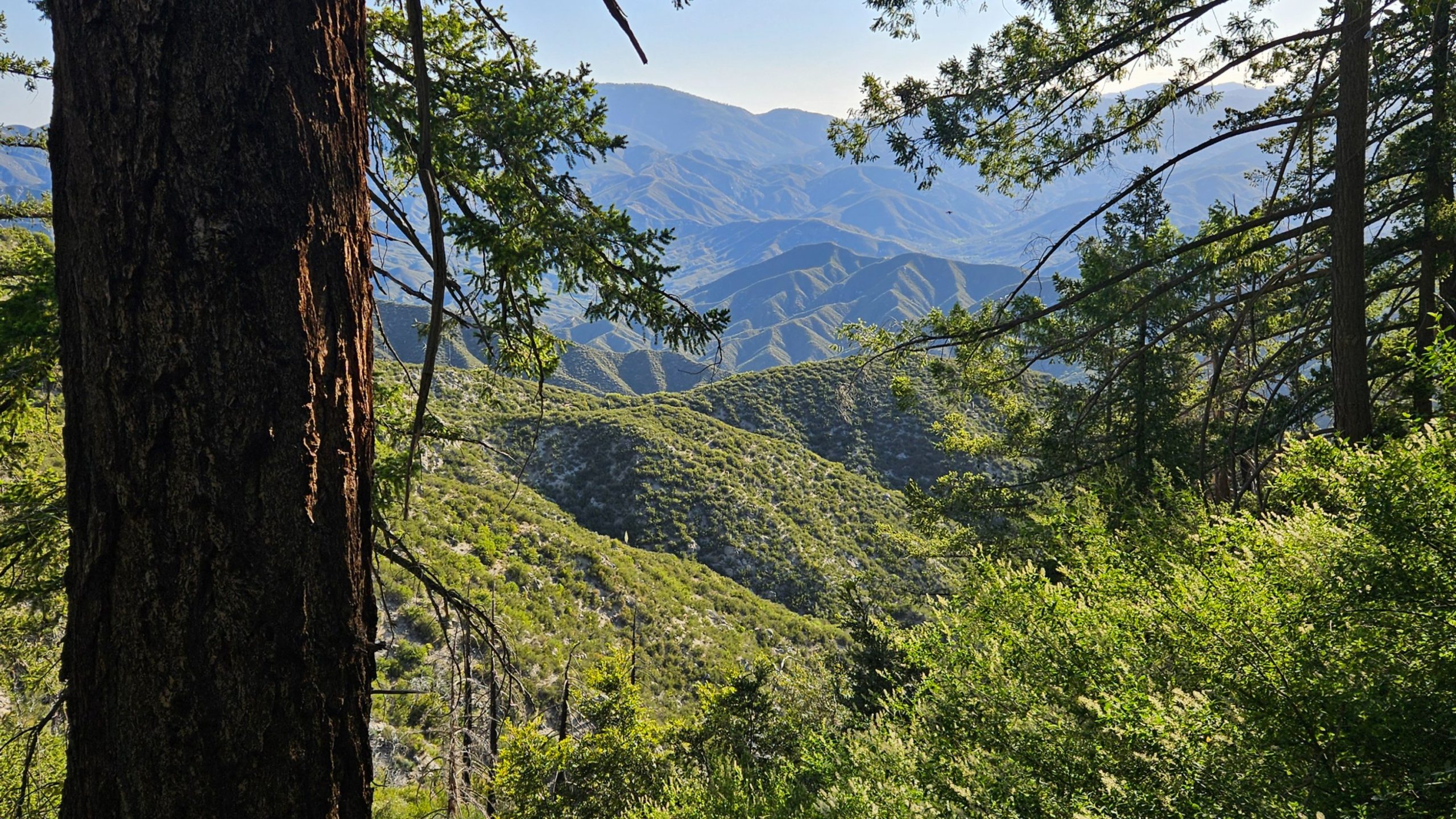
Pacific Crest Trail to Grass Mountain + Spruce Draw

Crown Point - Mission Bay Crown Point Drive, San Diego, CA, United States

DESCRIPTION: This is a great local hike on a portion of the Pacific Crest Trail (PCT). We start near Green Valley Ranger station using the PCT heading North. We will […]

Devils Canyon

Roadside parking lot for Saddle Peak Trailhead Stunt Road 697, Calabasas, CA, United States

DETAILS: · Hike leader volunteer(s): Dave. · Meet: 200 yards before Chilao Visitor Center on Highway #2 · Distance: ~ 6.75 Miles total (out and back style) · Elevation gain: […]

Coquina Mine Trail Loop – Marr Open Space/Simi Valley

Conejo Community Park (Hendrix) Hendrix Avenue 1175, Thousand Oaks, CA, United States

DESCRIPTION: This is a 6.3-mile trail loop near Simi Valley, California. Generally considered a moderately challenging route, it takes an average of 3 hours to complete. Most of the elevation […]

Beach Hike on the beach and bluffs at Carpinteria

Viola Fields 6145 Carpinteria Ave, Carpinteria, CA, US

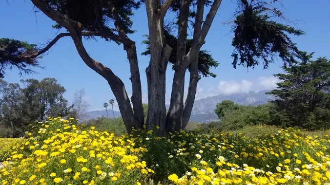
DESCRIPTION: This is a enjoyable hike along the beach and bluffs. Our hike starts at Viola Fields in Carpinteria. The trail takes us to Rincon Beach. Along the way we […]

Beach Hike on the beach and bluffs at Carpinteria

Viola Fields 6145 Carpinteria Ave, Carpinteria, CA, US

DESCRIPTION: This is a enjoyable hike along the beach and bluffs. Our hike starts at Viola Fields in Carpinteria. The trail takes us to Rincon Beach. Along the way we […]

Devil’s Gateway

Calabasas Bark Park Las Virgenes Road 4232, Calabasas, CA, United States

DETAILS: · Hike leader volunteer(s): Dave. · Meet: Pothole Trailhead in Angeles National Forest. · Distance: ~ 12,5 Miles total (out and back style) · Elevation gain: ~ 1, 745 […]

Bear Creek Via Sespe River Trail

Hart Park Alfred Harrell Highway, Bakersfield, CA, United States

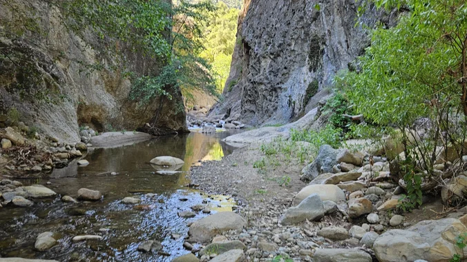
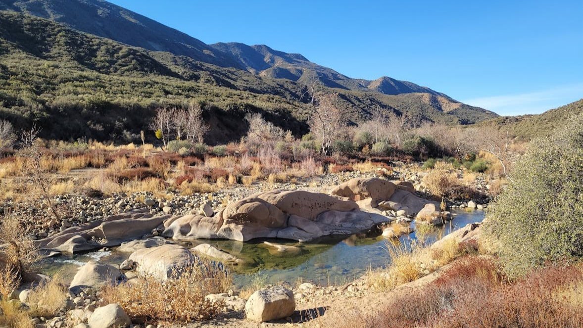
Bear Creek via Sespe River Trail DESCRIPTION: This is a 9-mile out-and-back trail near Ojai, California. Generally considered a moderately challenging route. This trail takes you along the Sespe River […]

Strawberry Meadows

16742 CA-116 Guernieville 16742 CA-116, Guerneville, CA, US

DESCRIPTION: Our delightful hike takes us over the mountain from Red Box to Strawberry Meadow, that is located In the protective shade of the great Strawberry Peak. We will enjoy […]


Trail statistics are approximate. For safety purposes always assume they are underestimated. But don’t be disappointed if they are overestimated. Bring more water and snacks than you think you’ll need.

Trail descriptions are based on previous hikes. Current conditions are unknown until arrival. Expect the unexpected and plan accordingly.

The Organizers and members of Hiking With Dean are not professional leaders, guides, or mountaineers. The function of the member or organizer is only to organize the trip. Each person who shows up for a trip/meetup (and their guest or guests) is responsible for his or her own safety. By attending a hike, or any other event organized by this group, you are acknowledging that you and any guests that you bring are aware of the risks, dangers and hazards associated with the activity and freely accept and fully assume all such risks, dangers and hazards, and further agree to release and discharge the Organizers, Members of the Hiking With Dean Meetup Group from and against any and all liability arising from your participation in the group activities per our ASSUMPTION OF RISK AND LIABILITY WAIVER and Section 6.2 of the Meetup.com Terms of Service.