• Oakbrook Vista – Easy Intermediate

    Oakbrook Vista Trailhead 3222 Lang Ranch Parkway, Thousand Oaks, CA, US

    3.2 miles, 900' gain.This hike is on the easy end of the intermediate (https://www.meetup.com/Hiking-Plus/messages/boards/thread/50879781) spectrum. It is an out-and-back hike. The first part is a steady incline, followed by a rolling trail to our destination. Fit beginners can complete this hike, but it will certainly get their blood pumping. There are no super steep sections. […]

  • Sage Ranch Lollipop – Fit Beginner

    Sage Ranch 1 Black Canyon Road, Simi Valley, CA, US

    As of July 7, 2020, the first part of the clockwise loop was closed, but we found a new and cooler route with a perfect place for a snack-share, complete with picnic table. We'll head up the ramp and begin the hike counter-clockwise. This ramp will be the only significant incline, but is still suitable […]

  • Cheseboro Canyon MTB trail potluck hike – fit beginner

    5402 Chesebro Rd 5402 Chesebro Rd, Agoura Hills, CA, US

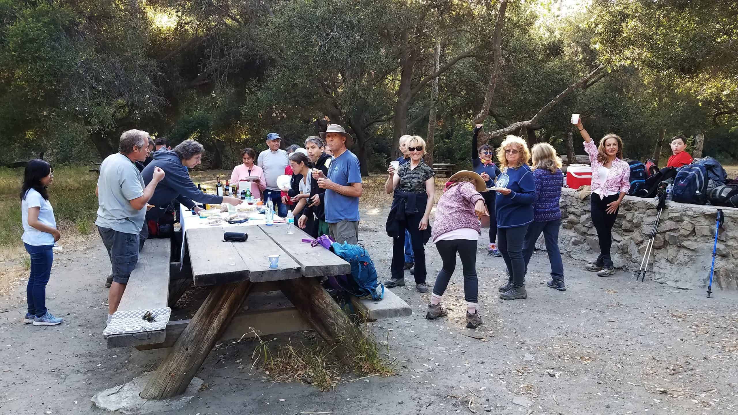
    Fit Beginner, 4.3 miles, 480' gain.If it's too hot, we'll change the return and make this an out-and-back instead of a loop, which lowers the gain to 230'. This is a pot luck picnic. Please also bring something to eat and drink, and a little extra to share. If your item requires it, bring plates […]

  • Whitehorse Lollipop – Intermediate

    Triunfo Community Park 1869 Tamarack St., Westlake Village, ca, US

    Intermediate, 5.25 mi, 1000' gainThis is a cooler location compared to Simi Valley and surrounding areas. Fit beginners can complete this hike, but it will certainly get their blood pumping. This is not a conditioning hike, it's a social hike. We'll be stopping at various points to let people catch up and to make sure […]

  • Talopop – Suitable for fit beginners

    Talopop at Juan Bautista de Anza Park 3701 Lost Hills Road, Calabasas, CA, US

    Fit Beginner, 4.1 miles, 720' gain. This is a cooler location compared to Simi Valley and surrounding areas. Is it Talepop or Talopop? Maps and signs that I have seen, use the 2nd spelling, but a lot of references use the other. There are several portions with extended inclines that will make a beginner hiker […]

  • Angel Vista – Easy Intermediate

    Rosewood Trailhead 305 Regal Oak Ct, Thousand Oaks, CA, US

    3.0 miles, 800' gain, easy-intermediate. This hike is rated easy-intermediate because it is a continuous incline for 1.5 miles. This isn't real steep, but it is continuous, and many beginner hikers have indicated this should be rated intermediate (https://www.meetup.com/Hiking-Plus/messages/boards/thread/50879781). That said, there is no reason a fit beginner cannot complete this hike. If needed, just […]

  • Whitehorse Lollipop – Intermediate

    Triunfo Community Park 1869 Tamarack St., Westlake Village, ca, US

    Intermediate, 5.25 mi, 1000' gainThis is a cooler location compared to Simi Valley and surrounding areas. Fit beginners can complete this hike, but it will certainly get their blood pumping. This is not a conditioning hike, it's a social hike. We'll be stopping at various points to let people catch up and to make sure […]

  • Long Canyon – Easy CC Loop – Suitable for Fit Beginners.

    Long Canyon Trailhead Parking Lot 597 Shadow Ln,, Simi Valley, CA, US

    3 miles, 650' gain, fit beginner. There is one extended climb in the middle of the hike that is relatively mild (it is fire road) but continues for about a mile. Being a fire road, steepness is limited to that which a vehicle can climb. Starting from the Long Canyon trailhead parking lot, we head […]

  • Wildwood Park – Las Flores – Fit Beginner

    604 W Avenida De Las Flores 604 W Avenida De Las Flores, Thousand Oaks, CA, US

    Fit Beginner, 4 miles, 600' gain. We start at the Las Flores trailhead where Las Flores dead-ends at Wildwood Park, and head west. After 1/3 mile, the trail becomes Wildwood Canyon Trail. We continue for another 2/3 mile and cross a brige just past the Meadows Picnic area. We'll make a left, continuing on Wildwood […]


Trail statistics are approximate. For safety purposes always assume they are underestimated. But don’t be disappointed if they are overestimated. Bring more water and snacks than you think you’ll need.

Trail descriptions are based on previous hikes. Current conditions are unknown until arrival. Expect the unexpected and plan accordingly.

The Organizers and members of Hiking With Dean are not professional leaders, guides, or mountaineers. The function of the member or organizer is only to organize the trip. Each person who shows up for a trip/meetup (and their guest or guests) is responsible for his or her own safety. By attending a hike, or any other event organized by this group, you are acknowledging that you and any guests that you bring are aware of the risks, dangers and hazards associated with the activity and freely accept and fully assume all such risks, dangers and hazards, and further agree to release and discharge the Organizers, Members of the Hiking With Dean Meetup Group from and against any and all liability arising from your participation in the group activities per our ASSUMPTION OF RISK AND LIABILITY WAIVER and Section 6.2 of the Meetup.com Terms of Service.