• Las Llajas – Suitable for beginners

    Las Llajas Canyon Trail trailhead 5715 Evening Sky Drive, Simi Valley, CA, Simi Valley, CA, US

    5 miles, 700' gain, Beginner. This hike is a great trail for beginners because all the elevation gain is distributed. It is a walk down a rolling fire road through a really cool canyon, and you will find no difficult or extended elevation climbs. This is one of my favorite trails for people new to […]

  • Limekiln Canyon Lollipop – Suitable for beginners

    Limekiln Canyon Trail 19569 Rinaldi Street, Porter Ranch, CA, US

    4 miles, Gain: 500'.This is a beginner (https://www.meetup.com/Hiking-Plus/messages/boards/thread/50879781) hike on the beautiful Limekiln trail. The hike starts at the trail head near the Tampa exit on I-118, just 3 miles east of the Topanga Canyon exit. I haven't done this route since the fire in Oct 2019, so we'll see how this changes our route […]

  • Hummingbird Party Rock – fireworks

    Parking Lot near Hummingbird Trail Entrance 2325 Kuehner Drive, Simi Valley, CA, US

    This will be our fourth 4th of July event and potluck celebration. It is well away from any traffic jams and other holiday nuisances. Difficulty: Fit Beginner (https://www.meetup.com/Hiking-Plus/messages/boards/thread/50879781) Note: The address above is where we will meet. This hike is will take us part way up the Hummingbird trail to a flat rock that is […]

  • Long Canyon – Easy cc lollipop – the back way

    Long Canyon Trailhead Parking Lot 597 Shadow Ln,, Simi Valley, CA, US

    5 miles, 800' gain, Easy Intermediate. This route would be classified as fit-beginner, if not for an extended incline that runs for almost a mile in the middle of the hike. It is a fire road with a continuous climb. Fit beginners should be OK on this hike, although they may wish to take several […]

  • Cave of Munitz – Intermediate

    Cave of Munitz 24501 Woodglade Ln., West Hills, CA, US

    Intermediate, 4.5 miles, 1100' gain. Intermediate hikers will love this hike. It is not well suited for beginners. It has some of the most variations of terrain of any hike in the area and is one of my personal favorites. This is an interesting gem and one of the famous formations that every hiker in […]

  • Dos Vientos – Easy Intermediate

    Dos Vientos Community Park 4801 Borchard Road, Newbury Park, CA, US

    5.2 miles, 1140' gain, easy-intermediate. Warning: Google Maps may take you to the incorrect location, although the address is correct. Please follow the written directions. The Hike The hike starts on the Park View trail, completely flat along a gravel track that moves around the Dos Vientos Community park. It then gently rises into the […]

  • Hawk Canyon from Conejo Canyons – Fit Beginner

    1993 Rancho Conejo Blvd 1993 Rancho Conejo Blvd, Thousand Oaks, CA, US

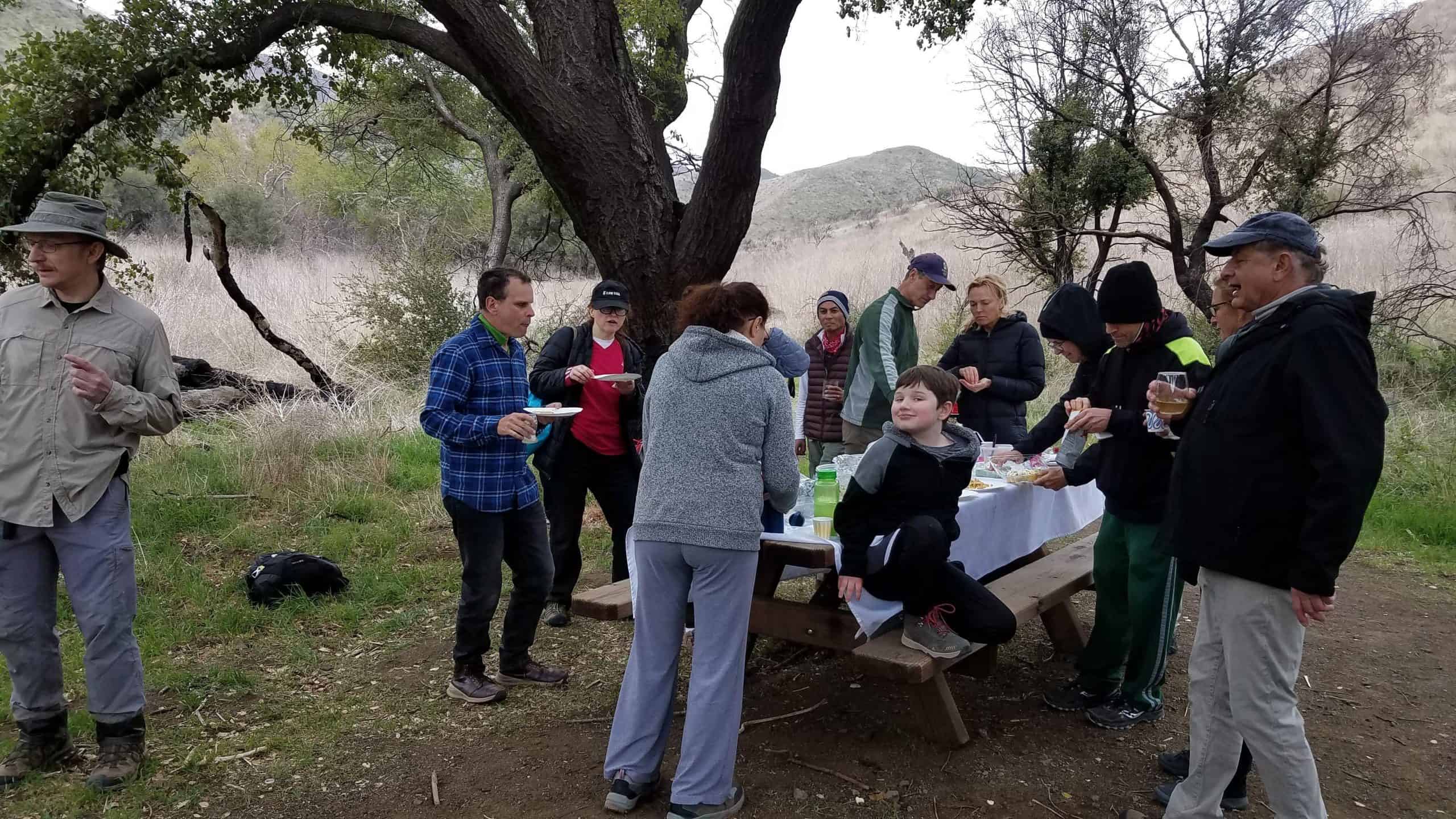
    3 miles, 500' gain, fit beginnerCross-posted with Thousand Oaks hikers. This is a pot-luck hike. We'll be stopping at the half-way point by some picnic tables, so please bring food and drink to share, and any utensils your items might require. Please park at the corner of Ranch Conejo Blvd and Conejo Center Dr in […]

  • Palo Comado Lollipop – Easy Intermediate

    Doubletree/Sunnycrest Trailhead Oak Springs Drive & Doubletree Road, Oak Park, CA, US

    4.6 miles, 900' gain, easy-intermediate. This route takes us through a beautiful canyon via a counter-clockwise lollipop. Most of the hike has a clear view of the sky, with a few parts that have tree cover. We'll be stopping at the half-way point for a snack and beverage share (https://www.meetup.com/Hiking-Plus/messages/boards/thread/50879772). We'll start at the Palo […]

  • Corriganville Grillfest with pre-hike, Fit-Beginner

    Corriganville Park 7001 Smith Rd, Simi Valley, US

    Fit Beginner, 2 mi, 500' gain. The Hike.4:30p – 6:00p. We'll be moving slow through both shaded and unshaded areas. We'll start from the Corriganville parking lot and move east towards the back end of the lot, enter, and continue towards the covered picnic area. After about 1/4 mile, just before the picnic area, we'll […]


Trail statistics are approximate. For safety purposes always assume they are underestimated. But don’t be disappointed if they are overestimated. Bring more water and snacks than you think you’ll need.

Trail descriptions are based on previous hikes. Current conditions are unknown until arrival. Expect the unexpected and plan accordingly.

The Organizers and members of Hiking With Dean are not professional leaders, guides, or mountaineers. The function of the member or organizer is only to organize the trip. Each person who shows up for a trip/meetup (and their guest or guests) is responsible for his or her own safety. By attending a hike, or any other event organized by this group, you are acknowledging that you and any guests that you bring are aware of the risks, dangers and hazards associated with the activity and freely accept and fully assume all such risks, dangers and hazards, and further agree to release and discharge the Organizers, Members of the Hiking With Dean Meetup Group from and against any and all liability arising from your participation in the group activities per our ASSUMPTION OF RISK AND LIABILITY WAIVER and Section 6.2 of the Meetup.com Terms of Service.