

This hike is cross posted with Dean’s, Hiking with Dean.
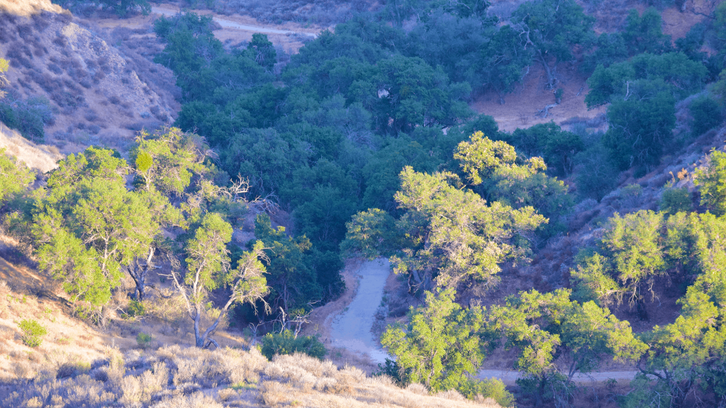
Tonight’s hike will take us into a canyon that has views of the surrounding Santa Susana Mountains which we might see before it gets completely dark. This is not a difficult hike because the elevation is rather mild, and it’s spread out over the whole hike with gradual climbs.
No white flashlights are allowed on this hike…it’s a Dean rule…bring green or red lights. Use white lights for emergencies only.
Before heading out, we will stop for a break. Bring wine and booze, and snacks to share.
From the trail head, we’ll hike about ½ mile on level ground followed by a steady climb about a mile to the junction at the top. We’ll turn left, climb a small hill, and then head down about 1½ miles into the canyon.
Coming back, we will climb about 3/4 of a mile up to the junction, this is a semi steep incline but doable for beginners. At the junction, we’ll hike down for about 1½ miles back to the trailhead.
HIKING DETAILS:
Distance: about 4.5 miles
Elevation Gain: about 800’
Difficulty: Beginner/ intermediate
Dogs: Yes, leashed
Restrooms: No
Parking: Free in the gravel area in front of the trail head, and along the road on both sides of Tapo Canyon.
Trail: Single track and Fire Roadish, excellent condition
Known Dangers: Rattlesnakes, slip-‘n-fall
WHAT TO BRING:
1-2 liters of water.
Snacks and/or beverages to share.
Hiking shoes are preferred, but athletic shoes will be OK.
DIRECTIONS:
The trailhead is about 450 feet, or one minute, before Lost Canyon Drive which is on the left with a street light. If you get to Lost Canyon Drive, you have gone too far…turn around.
Google maps seem to have the most accurate directions. Here is a link to Google Street View of the trailhead: Tapo Canyon Trailhead (https://www.google.com/maps/@34.304698,-118.720457,3a,69.7y,93.92h,90.4t/data=!3m4!1e1!3m2!1svRHdp7FenigPZ3zwLQ1PGw!2e0) The GPS coordinates of the trailhead are: 34.304410 N, and 118.720291 W, but trust your GPS at your own risk. They OFTEN take you to the wrong location.
Tapo Canyon
3802 Tapo Canyon Road
Simi Valley, CA 93063
34.304740, -118.720291
From the 118:
34.304740, -118.720291
Exit Tapo Canyon Rd.
Drive north on Tapo Canyon Rd. for 1.7 miles.
The trail head on the right.
DISCLAIMER / RELEASE OF LIABILITY:
• You must RSVP to attend this event, no exceptions.
• If you choose to sign up for any event, you are releasing the organizers of Hike and Explore from all liability in case of possible injuries.
• The organizers of Hike and Explore are not trained leaders and we do not confirm the qualifications of any of its members to lead or participate in trips. By participating in any posted event, you’re taking responsibility for your own safety and well-being.
• Hiking and other outdoor events are inherently dangerous and accidents can happen. All participants take full responsibility for their own actions.
• Your personal safety depends on your own judgment and experience. This applies to any guests you may invite.


