Site Search

Palo Comado Trail Weeknight hike

Loading Hikes
  • This hike has passed.

Palo Comado Trail Weeknight hike

Join me on a conditioning evening hike.
The actual hike is called Palo Comado Shepherd’s Flat Loop on Alltrails.com
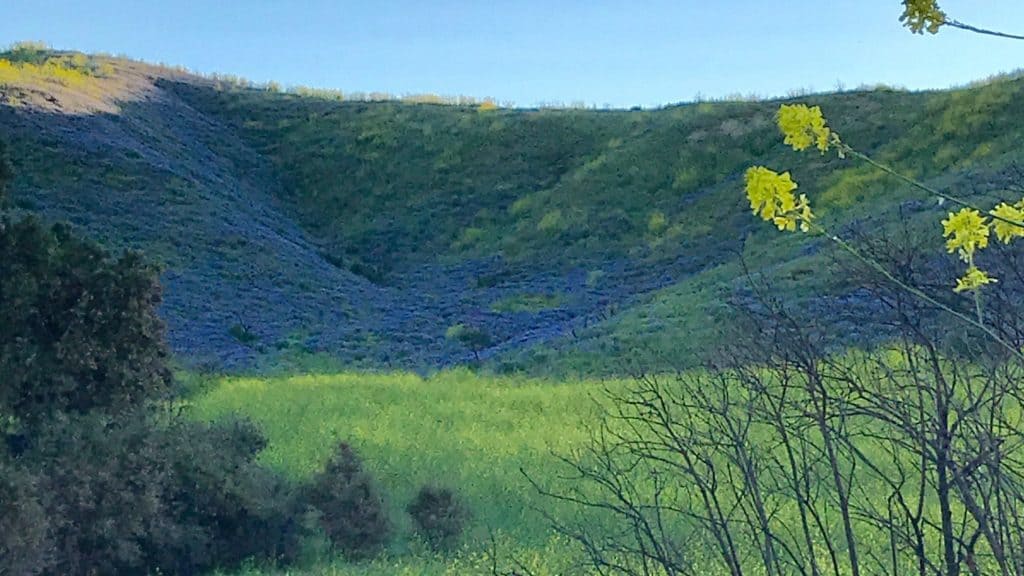
There are many intersecting trails at this trailhead of varying lengths, so we need to stick together (I have a story about getting lost in here even after hiking it many times). In the Springtime the wildflowers are gorgeous in here. I don’t think they are blooming just yet for our hike.
Distance: 6.5 miles
Elevation Gain: 1000+
Difficulty: Intermediate due to pace we do not stop, we may take one break halfway through but that is it.
Dogs: Yes, but must be leashed, well mannered and able to keep pace
Restrooms: No
Water Fountain: No
Parking: Free Street parking
Trail: Lollypop/Loop Trail
Sunset: 5:52pm
Weather: Rain, Wind, Extreme temperatures cancels hike
Known Dangers: Rattlesnakes, slip-‘n-fall, poison oak, mountain lions have been spotted on this trail.
Bring: Extra layer to take on and off as needed, Flashlight/headlamp and a snack for the short break if needed.
Water maybe 2L if you sweat a lot. It is always good to bring more than you need!
Have a mask to take on and off as needed out of respect to other hikers/bikers we pass on the trail and in our group during the pandemic. We need to also continue to practice social distancing ourselves to continue to prevent the spread of Covid.

Directions: From Simi Valley take the 118, to 23 freeway then get off at Los Arboles exit, turn left and take to Westlake Blvd., Drive for a few stoplights, miles and turn left on Kanan Rd and then Left Kanan Road, Drive some more stoplights and left on Sunnycrest Dr. That becomes Double Tree Road, You can also take a left on Double Tree Road as Double Tree and SunnyCrest run into each other.

March 02 2021

Details

Date: March 2, 2021
Time: 5:30 pm - 8:30 pm
Hiking Group:
RSVP: Visit Meetup Website

Venue

Palo Comado Canyon – Doubletree Trailhead

Aspen Ridge Ct
Oak Park,CA91377US

+ Google Map

Organizer

The PM Hikers
Website: Visit Organizer Website

Comments

Leave a comment

You can manage the subscriptions of this post.

[asa2_collection tpl=”Flex_1″ orderby=”rand” limit=”4″]2[/asa2_collection]

Trail statistics are approximate. For safety purposes always assume they are underestimated. But don’t be disappointed if they are overestimated. Bring more water and snacks than you think you’ll need.

Trail descriptions are based on previous hikes. Current conditions are unknown until arrival. Expect the unexpected and plan accordingly.

The Organizers and members of Hiking With Dean are not professional leaders, guides, or mountaineers. The function of the member or organizer is only to organize the trip. Each person who shows up for a trip/meetup (and their guest or guests) is responsible for his or her own safety. By attending a hike, or any other event organized by this group, you are acknowledging that you and any guests that you bring are aware of the risks, dangers and hazards associated with the activity and freely accept and fully assume all such risks, dangers and hazards, and further agree to release and discharge the Organizers, Members of the Hiking With Dean Meetup Group from and against any and all liability arising from your participation in the group activities per our ASSUMPTION OF RISK AND LIABILITY WAIVER and Section 6.2 of the Meetup.com Terms of Service.