

*** YOU MUST BRING A FACE COVERING to meet up at the trailhead and to use on trail when it is not possible to avoid close proximity to other hikers. Please be mindful of other people’s space. DO NOT APPROACH ANYONE WITHOUT YOUR FACE COVERING.
*** Hike is waitlisted. For the time being, you must have hiked with us previously. Limiting the total number of attendees (~12) so please change your RSVP immediately if you cannot make it. Apologies for not being able to add everyone but safety is the main priority right now. Those we’ve been hiking with who demonstrate Covid precautions will be given priority.
STATS
Distance: 10.5 Miles
Elevation Gain: 2900 ft
Duration: 5 hours
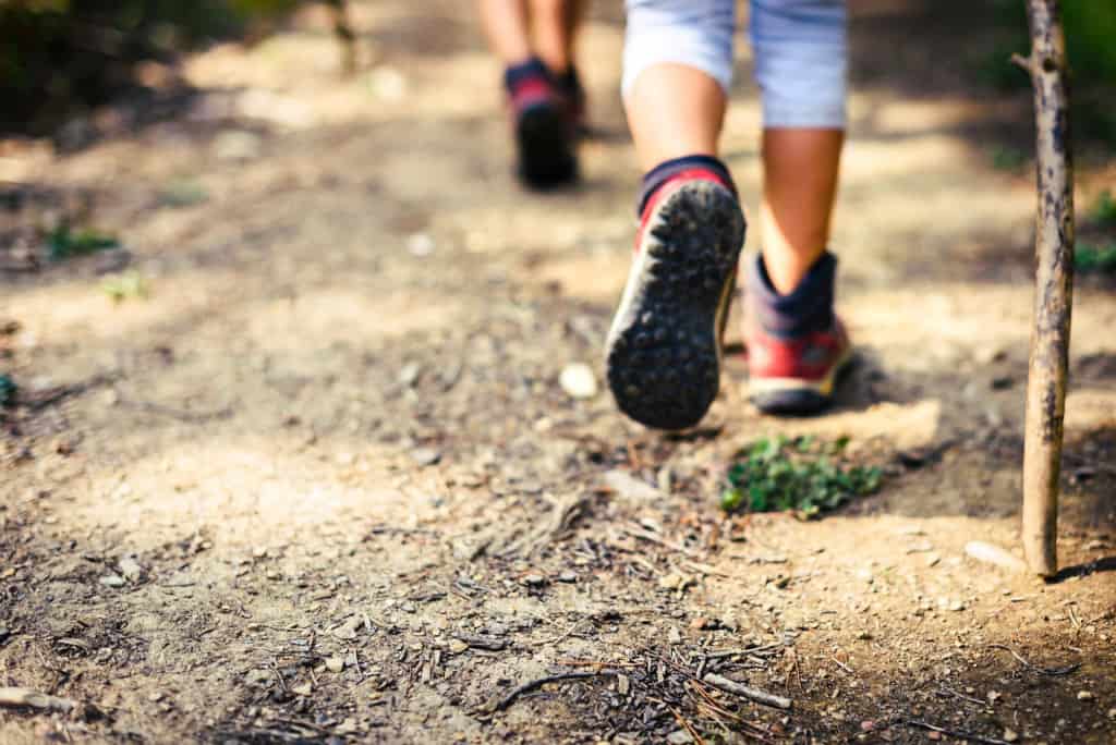
Trail: Fire road and single track, w/areas of deteriorating trails and steep, uneven downhills, possible bushwhacking
Rating: 8/10, due to trail condition and gain
Parking pass: Not needed
Not for beginners – no sweep!! We’ll be keeping a moderate pace and regrouping as needed.
Write up is Don’s:
THE STORY
Not many small or medium-sized cities can boast three mountain ranges within its border, but Glendale does. Stretching east and north from the San Fernando Valley, the city takes in substantial parts of the San Rafael Hills and the Verdugo Mountains, plus a small slice of the San Gabriel Mountains at the city’s northern extremity.
At this northernmost spot in Glendale, overlooking the foothill communities of La Crescenta and Tujunga, lies Deukmejian Wilderness Park, named after the former California Governor George Deukmejian. The park’s 700 acres of chaparral-covered slopes are drained by two ravines with steep gradients: Cooks Canyon and Dunsmore Canyon. During the mid-20th Century, the area alongside the Dunsmore Canyon stream was used by the Le Mesnager family as a vineyard, An old stone barn at the trailhead is reminiscent of that time.
Mt. Lukens is the tallest peak within the Los Angeles city limits, and it has spectacular views of the Los Angeles basin and surrounding mountains from the summit.
On exceptional days both the south and west facing beaches can be seen. When looking north, you see a large portion of the Tujunga Canyon watershed with views of Condor Peak (http://www.summitpost.org/mountain/rock/188361/condor-peak.html), Fox Mountain # 2 (http://www.summitpost.org/mountain/rock/197574/fox-mountain-2.html), Josephine Peak (http://www.summitpost.org/mountain/rock/155186/josephine-peak.html), Strawberry Peak (http://www.summitpost.org/mountain/rock/151749/strawberry-peak.html), and more.
We usually make a loop from Deukmejian Wilderness Park in Glendale, but this time we’re going to try a route that’s been on my list for a while – starting at the Haines Debris Basin. I have not done this route but the trail should be pretty straightforward.
The portion of the Rim of the Valley trail in particular has some areas of loose rocks and soil as well as a few Yucca maize portions. Walking poles could be helpful to some in these areas.
DIRECTIONS
From the 210 fwy take the Lowell Ave exit to Honolulu Ave. Go west. It veers right and turns into Tujunga Cyn Blvd. In just over a mile and a half turn right on Haines Cyn Ave. Make a right on Day St and a left to join Haines Cyn again. Though we will be meeting at the very end of Haines, there isn’t much parking there so grab any available parking spot you see when you’re on Haines or turn left on Apperson St to look for a spot.
We will meet at the gate at the end of Haines. Please keep in mind this is a residential neighborhood – keep any noise to a minimum. Allow yourself a few extra minutes to find parking and walk to the trailhead.
*************************
*************************
The Fine Print
PLEASE – Know your limits and abilities. Bring snacks and drink plenty of liquids when hiking. Check weather conditions and dress accordingly and be aware of your surroundings at all times. Watching out for poison oak, snakes, ticks, uneven footing, spectacular views, beautiful fauna all while interacting with awesome (usually) fellow hikers can be extremely hazardous, rewarding and fun.
The Farzan Rule: Posted hike times are the time the hike starts or we leave from a posted shuttle location. I’m aware other Meetup groups offer a grace period for late arrivals; we don’t. It’s your responsibility to know the location of the meeting spot and be there and ready to participate at the posted time. If you have any concerns about the directions feel free to contact the organizer of the event, preferably in advance of the event and not at the start time. I’m of the opinion that it’s not fair to delay an event when the majority of attendees have arrived on-time. (so named after a conversation I had with a certain un-named member)
RSVP’s: If you RSVP for an event be responsible and update your RSVP if your plans change. If your plans change at the last second and you’re not able to update your RSVP also let us know. In my opinion a no-show is someone who has no regard for following the guidelines we request from our members and will risk being removed from future events that have a limit.
VHC HIKE RATING SCALE
Rating a hike is subjective, meaning the difficulty of a hike will be in direct relation to how often you hike and the type of hike you prefer. Keep in mind that any hike can have the following: un-even hiking surfaces, various obstructions, water and/or water crossings or bouldering and/or rock hopping. A great hike will have all of these!
1 – A long walk
2 – 4 mile hike w/little elevation gain
3 – 5 mile hike w/up to 1000 ft. elevation gain
4 – 5+ mile hike w/up to 1500 ft. elevation gain (heart rate increases at times)
5 – 7+ mile hike w/over 1500 ft. elevation gain (heart rate increasing even more at times)
6 – 7+ mile hike w/over 2000 ft. elevation gain (at times you might be trying to remember how to perform CPR)
7 – 5+ mile hike w/over 2000 ft. elevation gain (at times you might be muttering expletives to yourself)
8 – 10+ mile hike w/over 3500 ft. elevation gain (at times you might be angry with the hike leader)
9 – 10+ mile hike w/over 5000 ft. elevation gain (at times you might be thinking of reporting the hike leader to the authorities)
10 – Use your imagination
Class 3 Scrambling: Scrambling or un-roped climbing. You must use your hands at times to hold the terrain or find your route. This may be caused by a combination of boulders, steepness and extreme terrain. Some Class 3 routes have ropes in place for assistance.
DISCLAIMER / RELEASE OF LIABILITY
IMPORTANT, PLEASE READ BELOW IN ITS ENTIRETY:
I am a volunteer (i.e. not liable for the group). Safety is a priority for everyone in the group. Think of this as hiking with a group of friends.
Outdoor sports and other events we plan can be inherently dangerous and accidents may happen. By participating in any posted event, you’re taking responsibility for your own safety and well-being. The Valencia Hiking Crew Meetup Group and its organizers are not trained leaders and we do not confirm the qualifications of any of its members to lead or participate in trips. All participants take full responsibility for their own actions. If you choose to sign up for any Valencia Hiking Crew Meetup events, you are releasing the Valencia Hiking Crew Meetup Group and it’s organizers from all liability in case of possible injuries as stated in paragraph 6.2 of the Meetup “Terms of Service” located on the bottom of the Meetup website. Your personal safety depends on your own judgment and experience.
*******************************


