

4 miles, gain: 500′, beginner.
This is a beginner hike on the beautiful Limekiln trail. The hike starts at the trail head near the Tampa exit on I-118, just 3 miles east of the Topanga Canyon exit.
This hike is a slight lollipop (from the shape of the route). There are no extended inclines, however there are about 5 bumps in the trail with 25-40′ gains, about 35-65 steps each. This is something a beginner would be able to handle, but these bumps will get the blood pumping, as they are like climbing up to 4 flights of stairs. There is nothing wrong with pausing for a breather while tackling these bumps in the trail.
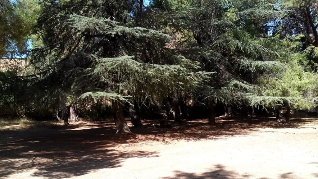
The trail varies between asphalt, gravel fire road, single tracker, tree covered, hilly, roadside, wooded, open air, and strolls through the park. We’ll enter Limekiln Canyon, where we’ll first encounter a heavily wooded park with large pine trees lining the trail and blocking out the sun. We’ll continue for about 2 miles. We’ll reach Sesnon Blvd., and then travel about 20 yards west and taking a different trail back into the Canyon.
After several hundred yards, we’ll return to the original trail for the return. Soon, we’ll take a slightly different route by making a right off the trail, but it still returns back to the original trail after a short distance.
Just before we complete the last 3/4 mile, we’ll turn right instead of left. After about 100 years, we’ll find a great spot with a giant fallen tree trunk to have a social event (snack and beverage share – https://www.meetup.com/Hiking-Plus/messages/boards/thread/50879772).
After about 30-60 minutes, we’ll continue the last 3/4 mile back to our cars. Those that don’t want to stick around are welcome to head back to their cars by any route they choose, but I’ll take a few splits to the right and cover some different trails, each that returns back to the original trail after several hundred yards.
There will be a couple creek crossings on the return, where one will use a few stepping stones to avoid getting wet. In general, it won’t matter if you choose incorrectly from this point because all the splits end up going the same way.
Interesting Notes:
Here are a couple plants you are sure to see on this hike:
California Buckwheat
When the white flowers turn a rusty brown, they can be crushed into a powder, mixed with water, and baked into bread. The black seeds in the flower heads are also edible. Don’t touch the white flowers if bees are around because they won’t like it and may attack. A cold tea made from the leaves has been used to treat stomachaches and headaches. A warm tea made from the roots has been used to treat colds. The stems are stiff and flexible, so they have been used by Indians as piercing utensils.
Laurel Sumac
Red stems and outline along leaves. The dried flower bunches look like small trees, and are used by model railroad builders as such, after being dyed green. Laurel sumac is sensitive to cold and does not tolerate freezing conditions. Orange growers in the early history of southern California used to pick places to plant their oranges based on where laurel sumac was growing because this indicated it would not get too cold for oranges if laurel sumac could grow there. For some, the sap will irritate their skin just like poison oak, causing blisters. Also called “Taco Plant”.
Directions:
Limekiln Canyon Trail
Porter Ranch, CA 91326
From the 118
Exit Tampa Ave (3 miles east of the Topanga Canyon exit) and head north for 1000′.
Left (west) on Rinaldi St. for 1000′.
Trailhead on the right (north).
Park on either side of the street.
From the 101 @ CA23
North CA-23 for 8.4 miles
East I-118 for 18 miles.
Exit Tampa Ave (3 miles east of the Topanga Canyon exit) and head north for 1000′.
Left (west) on Rinaldi St. for 1000′.
Trailhead on the right (north).
Park on either side of the street.
The Hike:
Distance: 4 miles
Elevation Gain: 500′
Difficulty: Easy
Pace: 2.5 mph
Dogs: Yes
Restrooms: No
Drinking Fountains: No
Parking: Free on either side of the street in front of the trail head.
Trail: Varied. Good condition.
What to Bring:
Snacks and/or beverages to share (https://www.meetup.com/Hiking-Plus/messages/boards/thread/50879772).
1 -2 liters of water.
Hiking shoes preferred, but athletic shoes will be OK.
Flashlight or headlamp.
Release of Liability: https://www.meetup.com/Hiking-Plus/pages/29622459/Is_Hiking_Dangerous/


