

BEFORE YOU WILL BE MOVED TO THE GOING LIST, YOU WILL NEED TO UPDATE YOUR CDH PROFILE (The three questions must be answered with a “yes”) IF YOU HAVE NOT ALREADY DONE SO.
BIKE RIDE AROUND THE SANTA CLARA RIVERBED
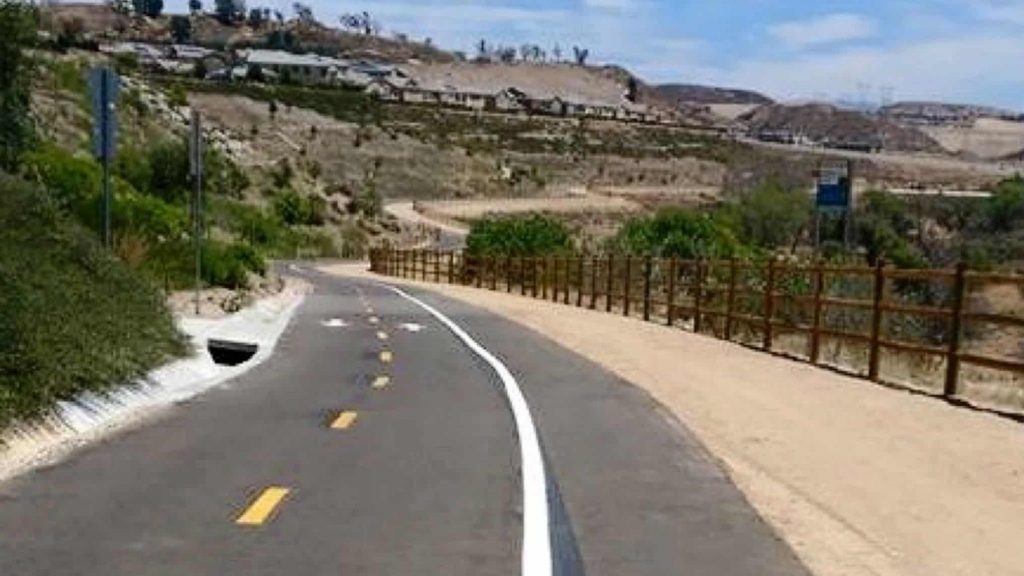
The route will be primarily along the Santa Clara River and San Francisquito Creek. These are really beautiful and well maintained bike trails. The ride should be a mixture of biking trails and some road riding. It won’t be a race as we’re out there to just enjoy the day.
Lunch will probably be at Schooners Patio Grille (http://www.schoonerssantaclarita.com/index.php). We may do it mid-ride or return to it at the end of the ride depending on temperature and hunger levels.
Make sure you bring along a spare inner tube.
MEETUP LOCATION AND TIME: Heritage Park
24155 NewHall Ranch Road, Santa Clarita
on Friday May 14th at 9:00 am
If you have trouble finding us, call my cell# (DaveR) (818-307-6460).
MEETUP DIRECTIONS FROM NORTHBOUND I-5 FREEWAY:
– take exit 170 for Magic Mountain Parkway
– turn right onto Magic Mountain Pkwy
– turn left onto McBean Pkwy
– turn left onto Newhall Ranch Rd
– turn right into Heritage Park
PARKING FEE: Free
DISTANCE:
22 or 15 miles (there is an option to skip 2 sections)
ELEVATION GAIN: 959 or 752 feet
THE PACE: 9 mph or more.
DURATION: Around 4 hours
LEVEL: Advanced Beginner capable of at least 9 MPH
TERRAIN: Mostly bike path with some road riding
MY CELL # IS: 818-307-6460
CDC COVID POLICY: We’ll all wear a mask and practice CDC social distancing guidelines during this event.
========================
DETAILED PLAN:
– start at Heritage park
– head west to pick up the San Francisquito Creek trail and head south towards the river
– at McBean pkwy, trail becomes the Santa Clara River trail
– take Golden Valley road to cross the river
(longer option – take the Santa Clara river trail to its end and double back). and then turn right on Valley Center drive (DO NOT STAY ON THE BIKE PATH AT THE END OF THE BRIDGE)
– after crossing Soledad Canyon Rd, turn right on the Chuck Pontius Commuter Rail trail
– at South Fork River trail intersection, we have options:
a) turn left (South)
this is a 4.6 mile option
b) take a break here while faster folks do the out and back trail
======
– continue on South Fork river trail along the river
– cross the Iron Horse bridge over the river
– turn right on San Francisquito Creek trail at trail intersection
Now we have options:
shortest route:
turn right on Newhall Ranch road
turn left to get on Francisquito Creek trail
turn right on first trail to the right to get back to our start point
medium route:
turn right on Decoro drive
turn right to get on Francisquito Creek trail
turn left on the trail we originally started on to get back to the start point
if you come to Newhall Ranch road, you’ve gone too far and need to backtrack
longest route:
turn right on Copper Hill drive
turn right to get on Francisquito Creek trail
turn left on the trail we originally started on to get back to the start point
if you come to Newhall Ranch road, you’ve gone too far and need to backtrack
The difference between the shortest and longest options at the end is about 4.4 miles and 200 feet.
If you’d like to see these trails on a map, go to: https://www.opencyclemap.org/
in the lower left corner, enter “Santa Clarita, Ca” in the “Jump to:” box
The blue lines are bike trails
We’re starting where Newhall Ranch road intersects the trail (leftmost intersection)
We’ll be going clockwise
You need to magnify the map (top left controls) to its max to actually see the bike trail names


