Site Search

Hiking Calendar

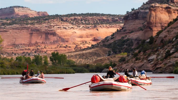
COLORADO: Raft Ruby/Horsetheif Canyon to UTAH

Rimrock Adventures Colorado 340 927, Fruita, CO, United States

Bucket list trip! This is not a hiking or backpacking trip. This is an overnight rafting trip on the Colorado River. Permits for this trip are released two months in advance. Looking to coordinate with boaters from past trips to better suit the availability of those who have been looking forward to rafting and to […]

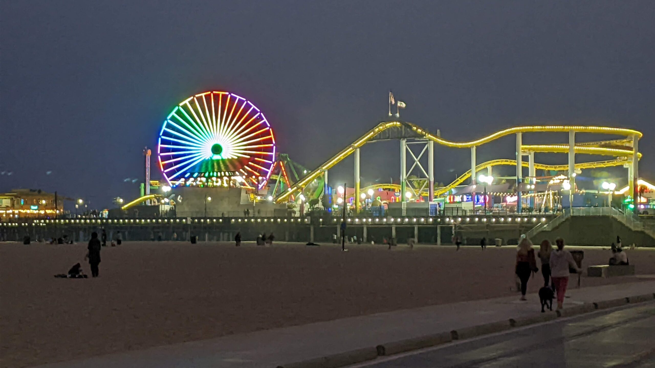
Biking – Temescal to Fishermans Village 20 or 30 miles.

Temescal Canyon Park 15900 Pacific Coast Hwy, Pacific Palisades, CA, US

This is a 20 or 30 mile (your choice) beach ride. We'll start at Temescal Canyon and take the Marvin Braude bike trail south to Fishermans Village, with a small side trip to potentially see some very large boats. At this point, anyone wanting to do only 20 miles can relax with some coffee, ice […]

Lizard Rock Loop – Easy Intermediate with easier option

Tennis Court parking lot 635 W Avenida de Los Arboles, Thousand Oaks, CA, US

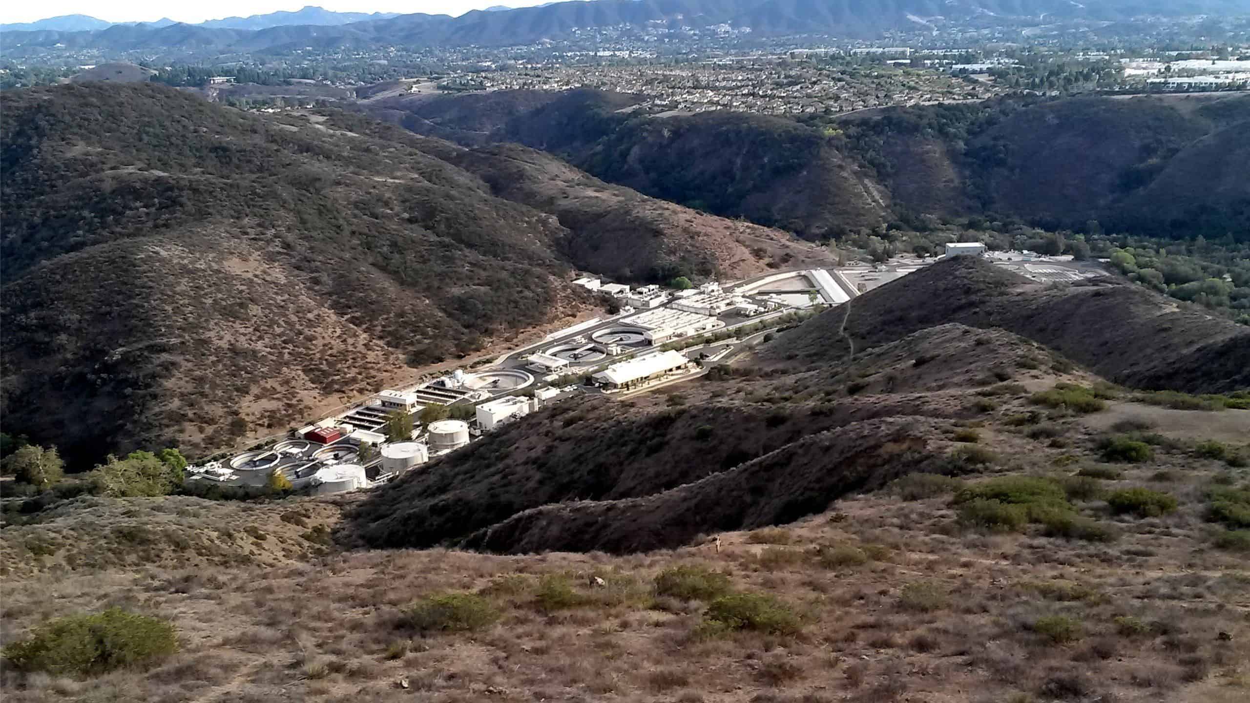
Easy Intermediate, 4.5 miles, 600' gain Easier Option, 3.5 miles, 460' gain This is a unique loop through Wildwood Park that takes us to the famous Lizard Rock. There are several extended inclines and a few short but steep climbs that cause this to be rated on the easy end of the intermediate spectrum. Beginners […]

Early Morning Hike at Whiting Ranch – Wahoo’s Parking Lot

Wahoo's Fish Taco 27412 Portola Parkway, Foothill Ranch, CA, US

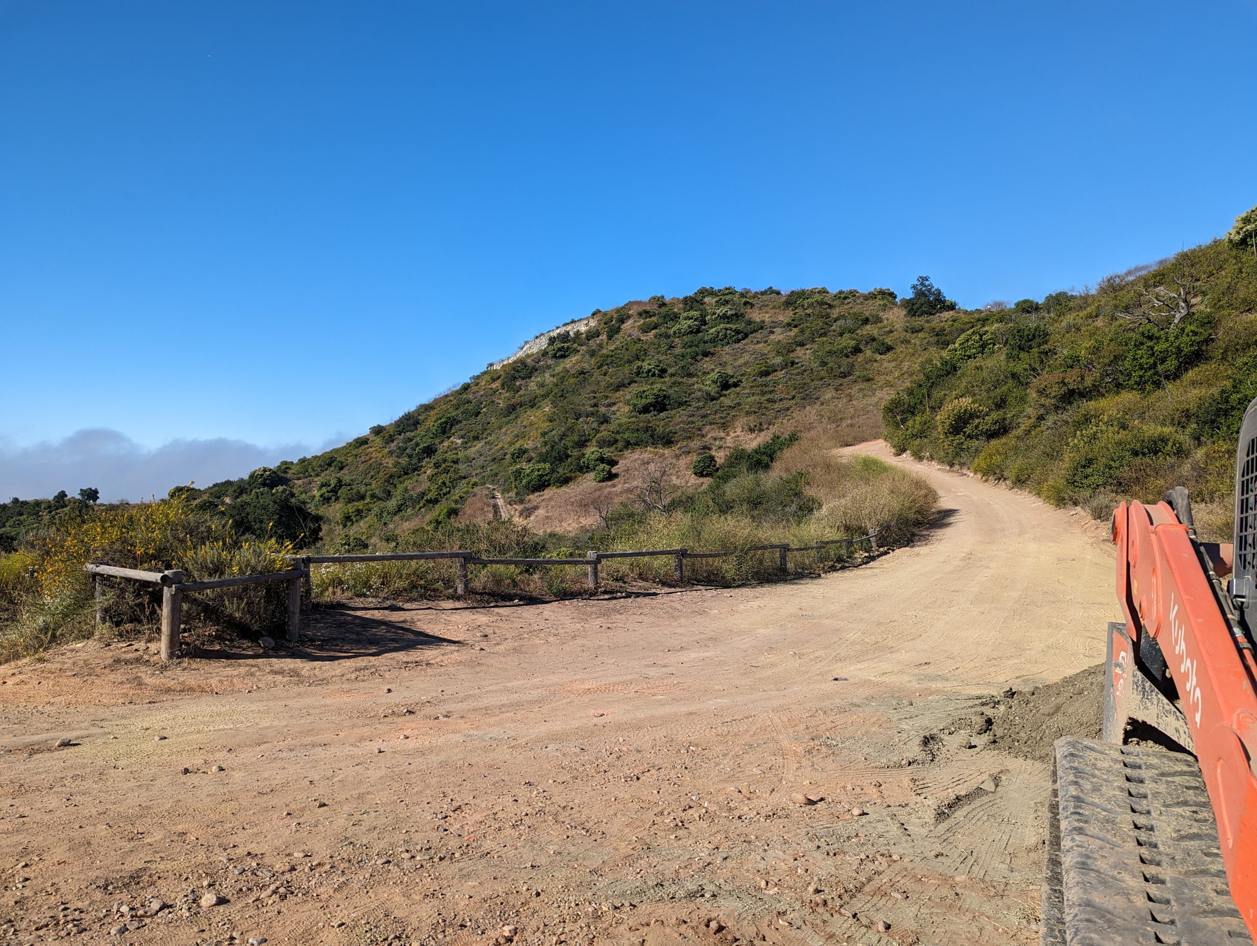
This hike will be about 5.4 miles total with 820 ft. of elevation gain. We are starting at the parking lot at the Wahoo's parking lot. We will take Live Oak Trail. This turns into Serrano Road which will take us to Serrano Cow Trail. At this part of the trail, we usually see a […]

🎾Professional Pickleball Lessons with Mark E!

Club Osa 18122 Erwin St, Los Angeles, CA, US

Club Osa has Special Price for HWD Members! Suitable for experienced beginners or new players. Professional coach RAMON OSA will be teaching you new skills while coaching you on the rules and various shots of the game. Little or no experience is ok. Come play the game everyone is either already playing or wanting to […]

Saturdays in the Santa Monica Mountains 2025 #9 – Topanga Lookout Saddle Peak

Calabasas Peak Trailhead 1698 Stunt Rd, Calabasas, CA, US

Hike #9 in the 2025 Saturday in the Santa Monica Mountains series will be an adventurous 9-mile, 2300’ gain loop hike, taking the Mountaineer’s Route to the 360 panoramic view at Topanga Lookout (2469’) from Stunt Road. with a stop at Saddle Peak (2805’) with ocean views and lunch with return via the Stunt High […]

Early Morning Hike at Aliso and Wood Canyons Park – Up Cholla, Down Mathis

Canyon View Staging Area 22124 Utility Access, Aliso Viejo, CA, US

We are going to be starting at the Canyon View Staging Area. This hike will be about 6.2 miles with around 1,000 ft. of elevation gain. We will be starting at Canyon View Park and taking Cholla up to West Ridge and comic down Mathis. Link to Parking from Google Maps: https://www.google.com/maps/place/Canyon+View+Staging+Area/@33.585273,-117.7465062,17z/data=!3m1!4b1!4m5!3m4!1s0x80dce61b6bd45c2d:0x5ef3f1ad687cc8b5!8m2!3d33.585273!4d-117.7443175 Dogs are not […]

Mt. Pinos plus 🤓

Mt. Pinos Nordic Base Cuddy Valley Rd, Frazier Park, CA, US

3 peaks 2 litter of water 8 miles or so Hike starts at 8am at the trail head However some of us will meet at Smart & Final on white ln at 7am Click on the link for more info of the hike Pinos, Sawmill, and Grouse Mountain via Condor Summit Trail on AllTrails https://www.alltrails.com/trail/us/california/pinos-sawmill-and-grouse-mountain-via-condor-summit-trail?sh=qfndye&utm_medium=trail_share&utm_source=alltrails_virality

Yosemite Camping @Upper Pines 🌲Campground 🏕️ Of Course, Some Hiking 🥾 too!

Will Rogers State Beach Pacific Coast Highway & Temescal Canyon Road, Pacific Palisades, CA, US

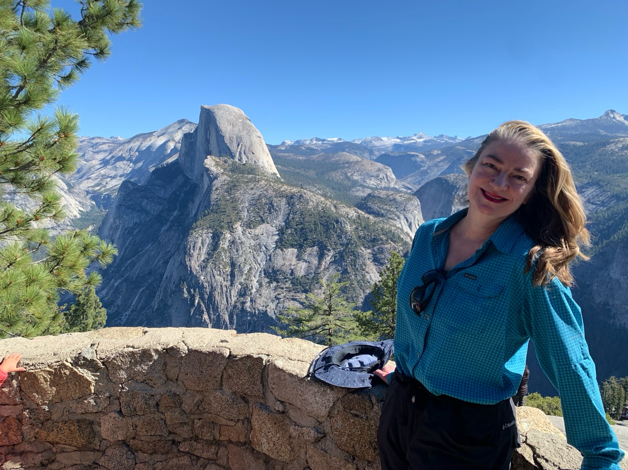
Camping at Yosemite Upper Pines Campground for 3 nights! 🎉
And, of course, there will be hiking 🥾 and other activities 🎣🚴‍♀️🚣🧗‍♀️
 Some will be doing Half Dome 🏞️ (Steven Thomsen will be your contact for the Half Dome permits, he is in charge of that!) Feel free to text or call Steven with any questions […]

[asa2_collection tpl=”Flex_1″ orderby=”rand” limit=”4″]2[/asa2_collection]

Trail statistics are approximate. For safety purposes always assume they are underestimated. But don’t be disappointed if they are overestimated. Bring more water and snacks than you think you’ll need.

Trail descriptions are based on previous hikes. Current conditions are unknown until arrival. Expect the unexpected and plan accordingly.

The Organizers and members of Hiking With Dean are not professional leaders, guides, or mountaineers. The function of the member or organizer is only to organize the trip. Each person who shows up for a trip/meetup (and their guest or guests) is responsible for his or her own safety. By attending a hike, or any other event organized by this group, you are acknowledging that you and any guests that you bring are aware of the risks, dangers and hazards associated with the activity and freely accept and fully assume all such risks, dangers and hazards, and further agree to release and discharge the Organizers, Members of the Hiking With Dean Meetup Group from and against any and all liability arising from your participation in the group activities per our ASSUMPTION OF RISK AND LIABILITY WAIVER and Section 6.2 of the Meetup.com Terms of Service.