• Hill Canyon – Hawk Lollipop – Easy Intermediate, beginner option

    Hill Canyon Trailhead 10241 Hill Canyon Road, Camarillo, CA, US

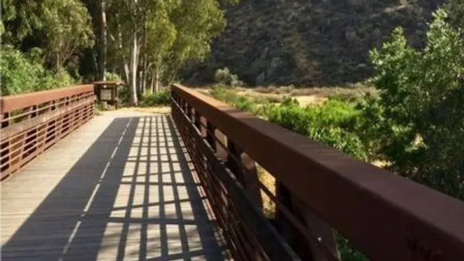
    5.3 miles, 600' gain, Easy-Intermediate 2.5 miles, 100' gain, Beginner We start by crossing a bridge into a wooded area and continue down a relatively flat path alongside a stream. After about a mile, we'll come to a junction. For those that want the full hike, we'll turn right and complete a 3 mile loop […]

  • BACKPACKING LEADERSHIP: For Advanced Backpackers

    Online event

    Invite Only. This meeting serves as a continuation of our collaborative leadership discussion and will take place over Zoom. Topics: 🌼 Review Basic First-Aid and WFA topics to include: ✔️ Snake Bites ✔️ Poison Oak ✔️ Fish Hooked ✔️ Drowning ✔️ Heat Exhaustion, and more... 🌼 Share personal medicine/emergency kit contents for backpacking. 🌼 Discuss […]

  • CHC Camping Trip: Sequoia National Forest, Stony Creek

    Stony Creek Campground 36°39'53"N, 118°49'54"W, CA, United States

    CHC Camping Trip Stony Creek Campground, Sequoia National Forest August 7-11, 2024 36° 39' 54.8820" N 118° 49' 58.0188" W Sequoia National Forest is a beautiful alpine area with some of the largest trees on earth – the giant sequoias. Our campground is near a beautiful natural granite waterslide with swimming holes. Come prepared to […]

  • Santa Rosa Trail Loop through Box Canyon (Fast Paced)

    Wildwood Park, Thousand Oaks 998 W Avenida de Los Arboles, Thousand Oaks, CA, US

    Haven't done this hike in over a year. Hoping the marshy area has dried up since we have had no rain in a while. Please read these restrictions before signing up. Don't show up unless you're shown on the "Attending" list Unregistered or waitlisted will be turned away No "Plus Ones" on this hike No […]

  • Los Robles trailhead, walking down to Las Padres and up and around

    Los Robles Trail 351 S Moorpark Rd, Thousand Oaks, CA, US

    NOTE: This will be a gentler hike for Thursday. We will go slower and with less elevation gain and less miles. If anyone wants to add more miles, and someone knows the route, we can take the loop up to the Greenmeadow Parking lot and then back to Moorhead. We will start in the parking […]

  • Conejo Mountain’s Majesty – 5 mile, 1,100′ – Gentler, Not Beginner

    Powerline Trailhead Via Ricardo, Thousand Oaks, CA, United States

    Please join us for a hike to the very tippy-top of Conejo Mountain. This 5.0-mile hike has a total elevation gain and loss of 1,100 feet (at least, according to GaiaGPS). Because of the distance, I'm classifying it as a Gentler, but there are some steep spots for which trekking poles may be advisable. Almost […]

  • Wendy Lollipop

    4128 Potrero Rd 4128 Potrero Rd, Thousand Oaks, CA, US

    4.6 miles, 1000' gain, Easy Intermediate Easier Option - 2.7 miles, 320' gain Many have gotten lost relying on GPS. This is the Wendy Trailhead, where S. Wendy Dr. ends at Potrero Rd. Heading out, we cross a creek, turn right at the split, then Turn right at the dead end. We regroup at the […]

  • Iva Bell Hot Springs via Duck Pass to Red’s Meadow

    Duck Lake Pass Trailhead Duk Lake Trailhead Parking Loop, Mammoth Lakes, CA, US

    Lisa couldn't host her first permit for this trip so I snagged it when she cancelled :) This is a moderately-advanced trip. Be Prepared for mosquitoes 🦟 It will be HOT because when we hike down to the hot springs because it's at about 7K feet. Containers to prevent Bear access required🐻. This means devices […]

  • Iva Bell Hot Springs via Duck Pass [date subject to change]

    Duck Lake Pass Trailhead Duk Lake Trailhead Parking Loop, Mammoth Lakes, CA, US

    ***DATE SUBJECT TO CHANGE TO AUGUST 22-25. Keep both dates open if you want to come on this trip. RSVPs will open APRIL 1. Add yourself to the waitlist and I will manually add on April 1.*** This is a moderately-advanced trip and may be conducted as a through hike or a loop hike, it’s […]


Trail statistics are approximate. For safety purposes always assume they are underestimated. But don’t be disappointed if they are overestimated. Bring more water and snacks than you think you’ll need.

Trail descriptions are based on previous hikes. Current conditions are unknown until arrival. Expect the unexpected and plan accordingly.

The Organizers and members of Hiking With Dean are not professional leaders, guides, or mountaineers. The function of the member or organizer is only to organize the trip. Each person who shows up for a trip/meetup (and their guest or guests) is responsible for his or her own safety. By attending a hike, or any other event organized by this group, you are acknowledging that you and any guests that you bring are aware of the risks, dangers and hazards associated with the activity and freely accept and fully assume all such risks, dangers and hazards, and further agree to release and discharge the Organizers, Members of the Hiking With Dean Meetup Group from and against any and all liability arising from your participation in the group activities per our ASSUMPTION OF RISK AND LIABILITY WAIVER and Section 6.2 of the Meetup.com Terms of Service.