Site Search

Hiking Calendar

Las Virgenes Trail to Cheseboro Ridge ~ 8 mile loop

End of Las Virgenes Rd 5986-6004 Las Virgenes Rd, Calabasas, CA, US

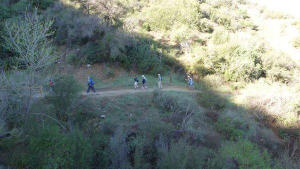
Enjoy the camaraderie of fellow Hikers and get a great workout close to home. You're done before noon! Distance: Approximately 8 miles Elevation Gain: Approximately 1,500 ft This hike is rated moderate for its elevation gain and distance. Drink plenty of water prior to and during the hike. Follow the directions to the trailhead as […]

Remembering Friends, Hike and Brunch

Placerita Canyon County Park 19152 Placerita Canyon Rd, Newhall, CA, US

We thought it would be nice to get together for an early morning hike with brunch after to remember our beloved friends we lost 6 years ago. Option 1 6am: Hike the 9 miles Los Pinetos loop Option 2 8am: 3.5 miles Canyon Trail to Walker Ranch Option 3 ~ 10am: brunch - no potluck […]

Revised Placerita Hike and Picnic Remembering Keyhole 7

Placerita Canyon County Park 19152 Placerita Canyon Rd, Newhall, CA, US

We thought it would be nice to get together for a morning hike with brunch after to remember our beloved friends we lost 6 years ago. Los Pinetos is closed but we can still take the Canyon Trail to Walker Ranch and come back to brunch. If you can't make the Saturday hike, hopefully we'll […]

🍔 1 BRIDGE, 3 CAVES, INDIAN MORTEROS – MAYBE A HORSE – SUNSET / FOOD @ REEL INN

Topanga Canyon Trail Topanga Canyon Blvd & Viewridge Road, Topanga, CA, US

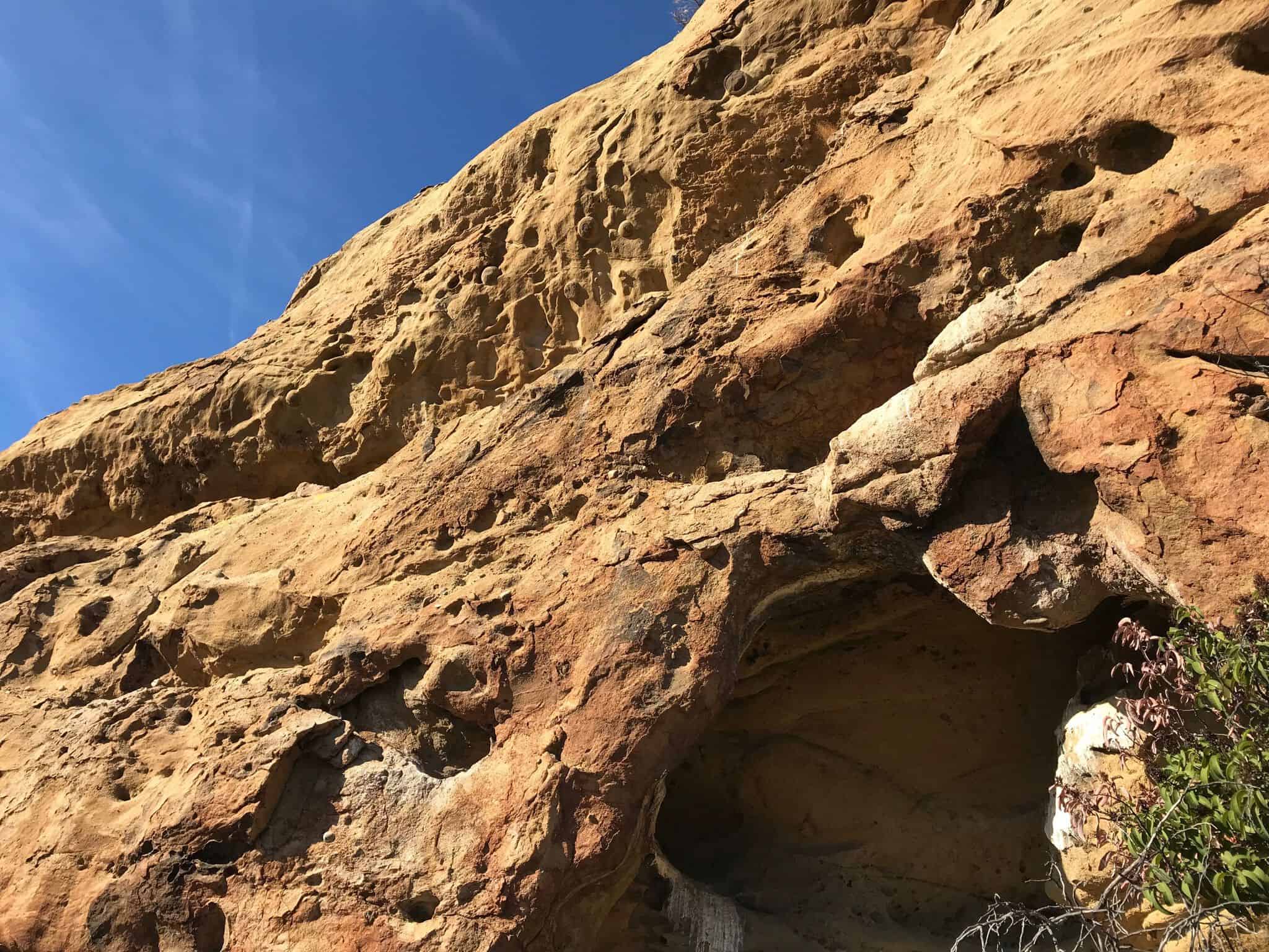
SEMI-EASY 4 MILE HIKE thru the forest, thru the woods, over a bridge and into 3 caves!! There's several Indian Morteros ( those holes etched into rocks where the Indians ground up acorns to make flour ) GOOGLE MAPS to the hike:https://goo.gl/maps/R47TQQekeXB2 there's a fair amount of VOLUNTARY rock scrambling and a very small amount […]

Angel Vista Full Moon potluck hike

Rosewood Trailhead 305 Regal Oak Ct, Thousand Oaks, CA, US

3.0 miles, 800' gain, easy-intermediate. This hike is rated easy-intermediate because it is a continuous incline for 1.5 miles. This isn't real steep, but it is continuous, and many beginner hikers have indicated this should be rated intermediate (https://www.meetup.com/Hiking-Plus/messages/boards/thread/50879781). That said, there is no reason a fit beginner cannot complete this hike. If needed, just […]

Full Moon Potluck Hike – Angel Vista

305 Regal Oak Ct 305 Regal Oak Ct, Thousand Oaks, CA, US

Please join our favorite full moon hike and potluck!Let's enjoy the beautiful sunset, gorgeous full moon and great potluck with wonderful friends! Cross-posted with Hiking Plus:https://www.meetup.com/Hiking-Plus/events/280763931/ Please bring some drinks and food to share, your own cup, plate and utensils. We’ll have enjoy potluck on the top under the beautiful full moon, then come back. […]

BIKE RIDE – Lake Balboa to Northridge and back

6300 Balboa Blvd 6300 Balboa Blvd, Van Nuys, CA, US

BEFORE YOU WILL BE MOVED TO THE GOING LIST, YOU WILL NEED TO UPDATE YOUR CDH PROFILE (The three questions must be answered with a "yes") IF YOU HAVE NOT ALREADY DONE SO.NEED HELP:go to: https://wp.me/P9MbG4-hC BIKE RIDE FROM LAKE BALBOA TO NORTHRIDGE AND BACK The Orange Line bikeway runs along the Orange Line in […]

Lizard Rock Loop

Tennis Court parking lot 635 W Avenida de Los Arboles, Thousand Oaks, CA, US

Easy Intermediate, 4.5 miles, 900' gain. This is a unique loop through Wildwood Park that takes us to the famous Lizard Rock. There are several extended inclines and a few short but steep climbs that cause this to be rated on the easy end of the intermediate spectrum. Beginners will still have no problem completing […]

CHALLENGING CONEJO MOUNTAIN TREK – Rock Scrambling route

Pepper Tree Playfield Park 3720 Old Conejo Road, Newbury Park, CA, US

DetailsBEFORE YOU WILL BE MOVED TO THE GOING LIST, YOU WILL NEED TO UPDATE YOUR CDH PROFILE (The three questions must be answered with a "yes") IF YOU HAVE NOT ALREADY DONE SO.NEED HELP:go to: https://wp.me/P9MbG4-hC It's time once again to take on Conejo Mountain via a rocky ridgeline via a cross country route. We'll […]

[asa2_collection tpl=”Flex_1″ orderby=”rand” limit=”4″]2[/asa2_collection]

Trail statistics are approximate. For safety purposes always assume they are underestimated. But don’t be disappointed if they are overestimated. Bring more water and snacks than you think you’ll need.

Trail descriptions are based on previous hikes. Current conditions are unknown until arrival. Expect the unexpected and plan accordingly.

The Organizers and members of Hiking With Dean are not professional leaders, guides, or mountaineers. The function of the member or organizer is only to organize the trip. Each person who shows up for a trip/meetup (and their guest or guests) is responsible for his or her own safety. By attending a hike, or any other event organized by this group, you are acknowledging that you and any guests that you bring are aware of the risks, dangers and hazards associated with the activity and freely accept and fully assume all such risks, dangers and hazards, and further agree to release and discharge the Organizers, Members of the Hiking With Dean Meetup Group from and against any and all liability arising from your participation in the group activities per our ASSUMPTION OF RISK AND LIABILITY WAIVER and Section 6.2 of the Meetup.com Terms of Service.