Site Search

Hiking Calendar

Mentryville: Pico Canyon Trail

Pico Canyon Service Road Pico Canyon Service Rd, Stevenson Ranch, CA, US

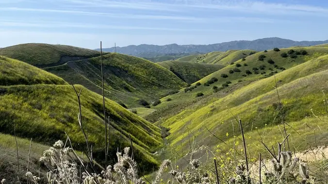
https://www.alltrails.com/trail/us/california/mentryville-pico-canyon-trail Hello Fellow Hikers, Mentryville Park is a moderate hike through a historic ghost town and oil-drilling village outside Santa Clarita. Beyond the oil history, the site also features beautiful rolling hills and lovely views, especially in the cooler months. Those who are unaware of Southern California’s preserved history need look no further than present-day […]

FREE: Navigation Series (3 of 3)

Alta Laguna Park 3299 Alta Laguna Blvd, Laguna Beach, CA, US

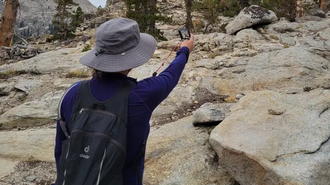
Navigate using a topo map and compass. Dec. 11 We'll put together your new understanding (hopefully you attended our two previous sessions) of the compass and topo map and use them together to take bearings on features during a hike. We'll identify ridges, gullies, and landmarks using our map and compass. Maybe you already learned […]

Tapo Canyon Trail

Tapo Canyon Road Tapo Canyon Rd, Simi Valley, CA, US

https://www.alltrails.com/trail/us/california/tapo-canyon-trail?u=i Hello Fellow Hikers, Join me on a easier moderate hike at Tapo Canyon Trail in Simi Valley. This hike has a nice gradual walk until we start a gradual climb were we will start our loop. We should encounter wildflowers and mountain views. Our loop will drop down then we will continue until we […]

Triunfo Park Conejo Crest Loop Trail

993 Aranmoor Ave 993 Aranmoor Ave, Westlake Village, CA, US

https://www.alltrails.com/trail/us/california/triunfo-park-conejo-crest-loop-trail Hello Fellow Hikers, This is a popular area on weekends with both hikers and mountain bikers. So will be hitting this one on a Monday so we can have it more to ourselves. Looks like this trail will be more of a lollipop circle eight path. Will be starting out from Triunfo Community Park […]

Upper Zuma Falls via Backbone and Zuma Canyon Trail

Backbone Trail Access at Kanan Backbone Trail, Malibu, CA, US

https://www.alltrails.com/trail/us/california/upper-zuma-falls-via-backbone-and-zuma-canyon-trail Hello Fellow Hikers, This is a really pretty area so it can get crowded best to do this one during the weekdays to stay away from the crowds. This isn't to hard of a trail and great for most levels. With that said there is elevation so you will have some gradual incline. A […]

Mt. McCoy

Clinicas Del Camino Real Inc - Madera 1424 Madera Road, Simi Valley, US

Easy Intermediate, 3 miles, 700' gain Easier Option: 2.4 mi, 530' gain. (1343 Los Amigos Ave, Simi Valley, CA 93065, or 89 La Paz Ct, Simi Valley, CA 93065 to save another 500'). We'll meet in the parking lot at the northeast corner of Madera and Royal, just south of the Donut Delite, on the […]

Mesa, Box Canyon, Lower Santa Rosa, Shooting Star and Santa Rosa Loop

928 W Avenida De Los Arboles 928 W Avenida De Los Arboles, Thousand Oaks, CA, US

https://www.alltrails.com/trail/us/california/mesa-box-canyon-lower-santa-rosa-shooting-star-and-santa-rosa-loop Hello Fellow Hikers, This one's gonna have a little bit of everything. Mountains, creeks, cactus area, straight aways and inclines, switchbacks and mansions. This is a lesser known route for this area. You may go through familiar sites and areas you have never been to before. I have attached the AllTrails link for directions, […]

Cheeseboro Ridge and Las Virgenes Canyon Loop

Upper Las Virgenes Canyon Open Space Trailhead 62 Las Virgenes Rd, Calabasas, CA, US

https://www.alltrails.com/trail/us/california/cheeseboro-ridge-las-virgenes-canyon-loop Hello Fellow Hikers, This is a really popular area on the weekends so I thought hitting during the week to stay away from the crowds and mountain bikers. This area comes alive during the winter season with lush mountain scenery. The incline is gradual. Looks like we will start on more of a fireroad […]

Long Canyon – Easy CC Loop – Suitable for Fit Beginners

572 Bannister Way 572 Bannister Way, Simi Valley, CA, US

3 miles, 650' gain, Fit Beginner Easy option, 1.4 miles, 450' gain, Fit Beginner Those that prefer the Easy Option, should head UP from the trail head, waiting when they get to the bench at the top. For the rest of us: Starting from the trailhead parking lot, we head west on the Woodridge Connector […]


Trail statistics are approximate. For safety purposes always assume they are underestimated. But don’t be disappointed if they are overestimated. Bring more water and snacks than you think you’ll need.

Trail descriptions are based on previous hikes. Current conditions are unknown until arrival. Expect the unexpected and plan accordingly.

The Organizers and members of Hiking With Dean are not professional leaders, guides, or mountaineers. The function of the member or organizer is only to organize the trip. Each person who shows up for a trip/meetup (and their guest or guests) is responsible for his or her own safety. By attending a hike, or any other event organized by this group, you are acknowledging that you and any guests that you bring are aware of the risks, dangers and hazards associated with the activity and freely accept and fully assume all such risks, dangers and hazards, and further agree to release and discharge the Organizers, Members of the Hiking With Dean Meetup Group from and against any and all liability arising from your participation in the group activities per our ASSUMPTION OF RISK AND LIABILITY WAIVER and Section 6.2 of the Meetup.com Terms of Service.