Site Search

Hiking Calendar

Wildwood Central Park ~ Gentler Friendly

Wildwood Regional Park 928 W Avenida De Los Arboles, Thousand Oaks, CA, US

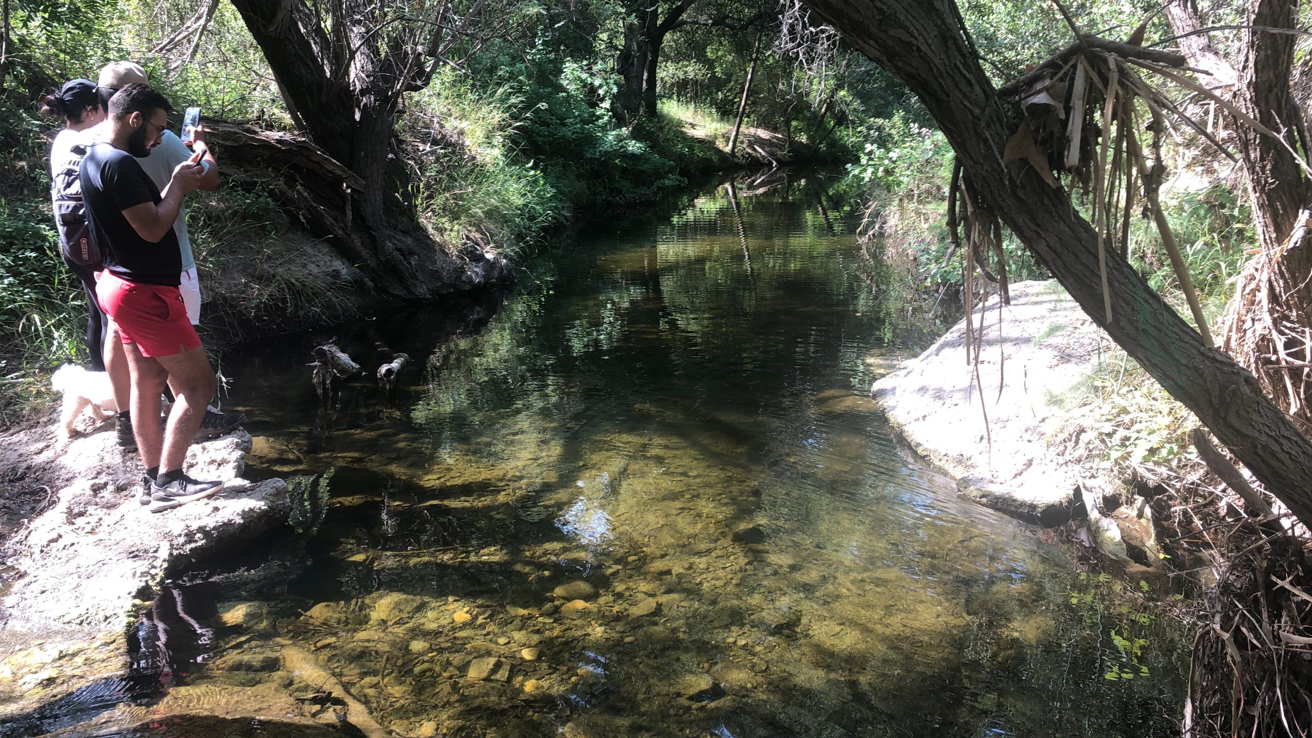
Wildwood Park is one of our most versatile local parks, with 27 miles of trails traversing rocky volcanic cliffs, cacti-filled desert environs, riparian forest, and a cool, watery canyon. Wildwood's western look served as backdrop for TV classics such as The Rifleman, Gunsmoke, and Wagon Train. We will meet at Wildwood's main parking lot. This […]

Hill Canyon starting at Santa Rosa Regional Park

Hill Canyon Trailhead 10241 Hill Canyon Road, Camarillo, CA, US

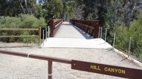
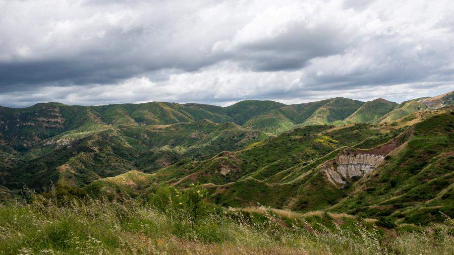
We will start this hike at Santa Rosa Regional Park at the parking area in Hill Canyon, cross the bridge over the runoff creek, and stroll a mile before turning onto the fire road up the Western Plateau. We will continue straight at the crest of the fire road and then turn left on the […]

Lizard Rock Loop – Easy Intermediate with easier option

Tennis Court parking lot 635 W Avenida de Los Arboles, Thousand Oaks, CA, US

Easy Intermediate, 4.5 miles, 600' gain Easier Option, 3.5 miles, 460' gain This is a unique loop through Wildwood Park that takes us to the famous Lizard Rock. There are several extended inclines and a few short but steep climbs that cause this to be rated on the easy end of the intermediate spectrum. Beginners […]

NEWBURY PARK & CAMARILLO LOOP via street and dirt roads

Rancho Sierra Vista/Satwiwa Thousand Oaks, California, Thousand Oaks, Ca, US

This ride will be on paved and paved roads as we take on a loop from Newbury Park to Camarillo. Make sure you bring along a spare inner tube or slime. MEETUP LOCATION AND TIME: Rancho Sierra Vista/Satwiwa in Newbury Park at 9:00am. If you don't see a restroom at the meetup location, you're at […]

Sagebrush Cantina: Hindsite

Sagebrush Cantina 23527 Calabasas Rd, Calabasas, CA, United States

Many from this group, plus other friends, will attend this event at Sagebrush Cantina. The band playing (Hindsite) puts on a fantastic show, playing dance, pop, r&b/funk, and hip hop music from the 70's up to the latest hits. This is one of the best venues I've experienced on LA's west side, and this is […]

Mentryville: Pico Canyon Trail

Hart Park Alfred Harrell Highway, Bakersfield, CA, United States

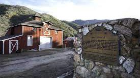
DESCRIPTION: It’s great to be planning hikes again after some time away to let a nagging foot injury heal. I’m starting with an old favorite that won’t be too hard for someone who hasn’t hiked in the better part of three months. It's exciting to be hiking again! We'll start from Mentryville (a historic SCV […]

Dry Lake via South Fork – Dry Lake to Peak optional

Conejo Community Park (Hendrix) Hendrix Avenue 1175, Thousand Oaks, CA, United States

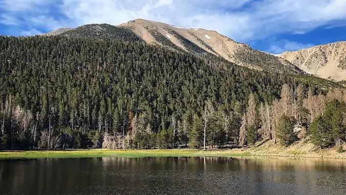
San Gorgonio Mountain is the tallest peak in Southern California (11,502 feet) We will be taking the South Fork Trail to Dry Lake. We will be camping near Dry Lake. Depending on weather conditions, we might need mircro spikes or crampons. Possibly snow at higher elevation. So San Gorgonio Peak will be optional. Miles: 11.2 […]

Wilderness Access Day – Gypsum Canyon Wilderness

Gypsum Canyon Wilderness South Gypsum Canyon Road 390, Yorba Linda, CA, United States

Additional registration is not required for the event. Details about the event: https://letsgooutside.org/activities/2025/06/14/wilderness-access-day-gypsum-canyon-wilderness-25/ Please join us for our second exploratory hike at Gypsum Canyon! We plan to do 4-5 miles with roughly 800 ft. of elevation gain. Located within OC Parks’ Irvine Ranch Open Space, Gypsum Canyon Wilderness features seven new trails for hiking, mountain […]

Saturdays in the Santa Monica Mountains 2025 #6 – Paramount Ranch MASH

Paramount Ranch 2903 Cornell Rd, Agoura Hills, CA, US

Hike #6 in the 2025 Saturday in the Santa Monica Mountains is a moderate 8 mile, 900’ gain out and back hike starting at Paramount Ranch and hiking into Malibu Creek State Park with lunch at the MASH site and return by different trails with views of Malibu Lake as we head back. Bring water, […]


Trail statistics are approximate. For safety purposes always assume they are underestimated. But don’t be disappointed if they are overestimated. Bring more water and snacks than you think you’ll need.

Trail descriptions are based on previous hikes. Current conditions are unknown until arrival. Expect the unexpected and plan accordingly.

The Organizers and members of Hiking With Dean are not professional leaders, guides, or mountaineers. The function of the member or organizer is only to organize the trip. Each person who shows up for a trip/meetup (and their guest or guests) is responsible for his or her own safety. By attending a hike, or any other event organized by this group, you are acknowledging that you and any guests that you bring are aware of the risks, dangers and hazards associated with the activity and freely accept and fully assume all such risks, dangers and hazards, and further agree to release and discharge the Organizers, Members of the Hiking With Dean Meetup Group from and against any and all liability arising from your participation in the group activities per our ASSUMPTION OF RISK AND LIABILITY WAIVER and Section 6.2 of the Meetup.com Terms of Service.