Site Search

Hiking Calendar

SAGEBRUSH CANTINA – Benefit concert & social hang!

Sagebrush Cantina 23527 Calabasas Rd., Calabasas, CA, US

A Benefit Concert to Support Music Programs Affected by the LA Fires sponsored by the Agoura High School Music Program! --- The Eaton Fire in Pasadena, Altadena, and Sierra Madre had a devastating impact on the students, families, and staff of the Pasadena Unified School District (PUSD) community. Nearly 10,000 homes and businesses were destroyed, […]

Food and Drink for Hikers and Backpackers

Sports Basement Kalama River Avenue 10800, Fountain Valley, CA, United States

Sick of eating GORP, granola bars, and protein bars on the trail. Ever wonder how many calories you need and tasty ways to deliver them when you're active outside? Then join us at Sports Basement to learn about: * Food needs for day hikes and backpacking trips * Hydration, electrolytes, caffeine and more * Summit […]

Potrero Rd. & Wendy Dr. Roller Coaster Ride to Angel Vista – Intermediate

Rancho Sierra Vista/Satwiwa Wendy Trailhead Portrero Road & South Wendy Drive, Newbury Park, ca, US

Please note this hike will start at the trailhead we use for the Boney Hike (junction of South Wendy Drive and Portrero Road). We will take the single track trail about one-half mile to where the Angel Vista TH begins to add about an extra mile to the hike. Hoping to get back before it […]

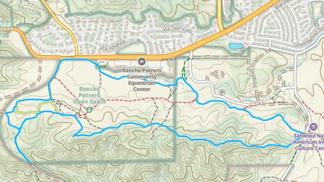
Rancho Potrero Ridgeline – sorta Gentler (5 miles ±900′)

Rancho Potrero Open Space Trailhead 34.156125°, -118.981800°, Thousand Oaks, CA, US

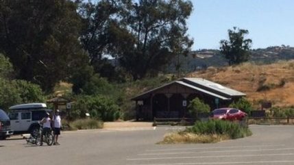
Note that this is a different start than the usual Rancho Sierra Vista Parking Lot!! Read carefully!! We have not done this hike for a while. We will meet at the Rancho Potrero COSCA trailhead parking area just west of the Equestrian Center on Lynn / Potrero. Pay attention as this is different than the […]

Upper Sycamore Canyon Loop – Gentler Hike.

Rancho Sierra Vista/Satwiwa Main Parking Lot Pinehill Avenue, Newbury Park, ca, United States

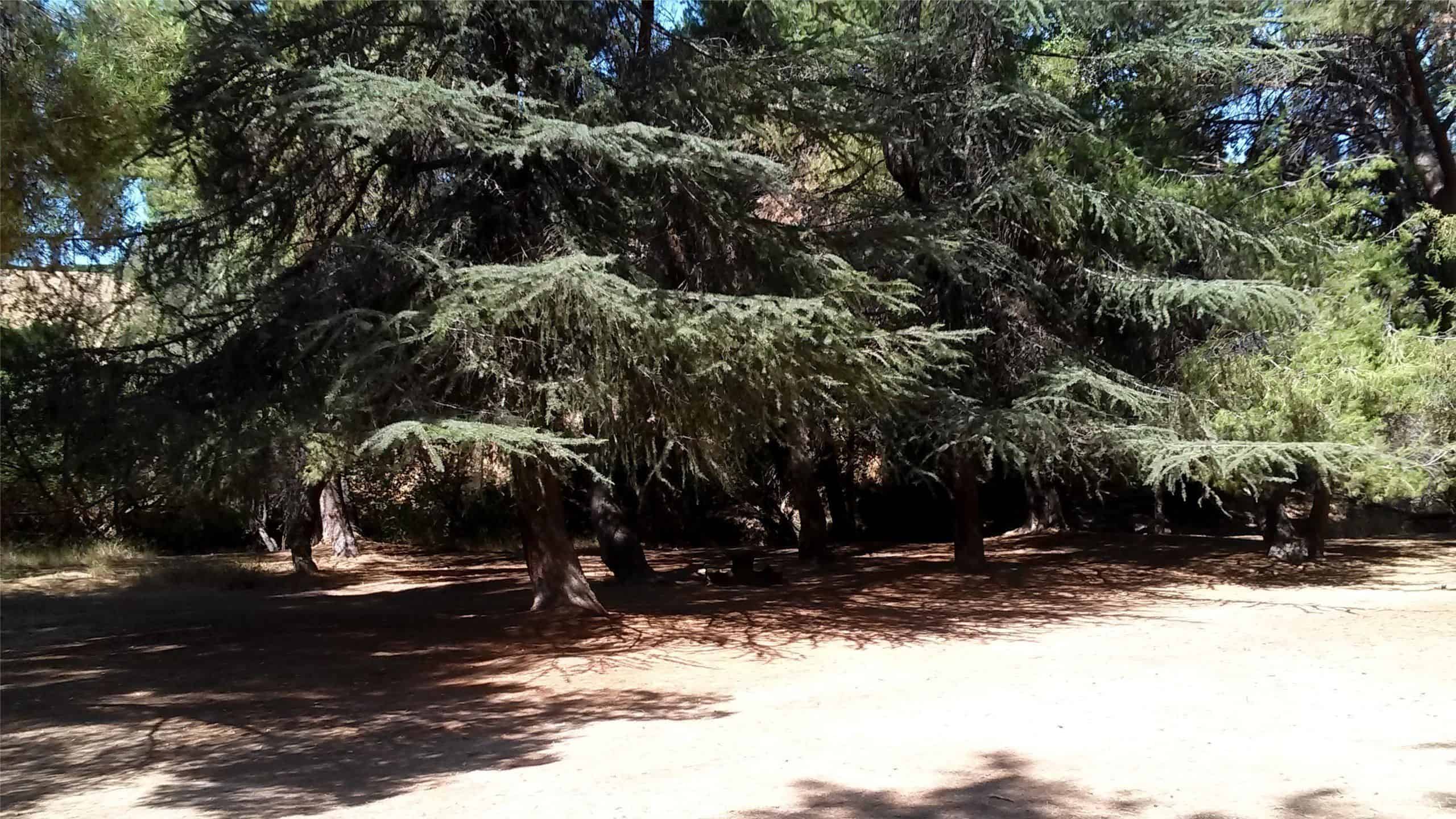
We are starting at 9:00 (it will be cooler and there are lots of trees) and start at the Rancho Sierra Vista parking lot. We go down to paved road to the bridge on Sycamore Canyon, but then turn up the canyon alongside Upper Sycamore Creek. Along the way, we'll be in the shade of […]

Limekiln Canyon Lollipop – Suitable for beginners

Limekiln Canyon Trail 19569 Rinaldi Street, Porter Ranch, CA, US

4 mi, 500' gain, beginner Easier option: 1.5 mi, 125' gain, beginner. This is a beginner hike on the beautiful Limekiln trail. This hike is a slight lollipop, (the shape of the route). There are no extended inclines, however there are about 5 bumps in the trail with 25-40' gains, about 35-65 steps each. This […]

COLDSPRINGS TAVERN TO LA CUMBRE PEAK via paved roads

Chumash Park 5550 Medea Valley Drive, Agoura Hills, CA, US

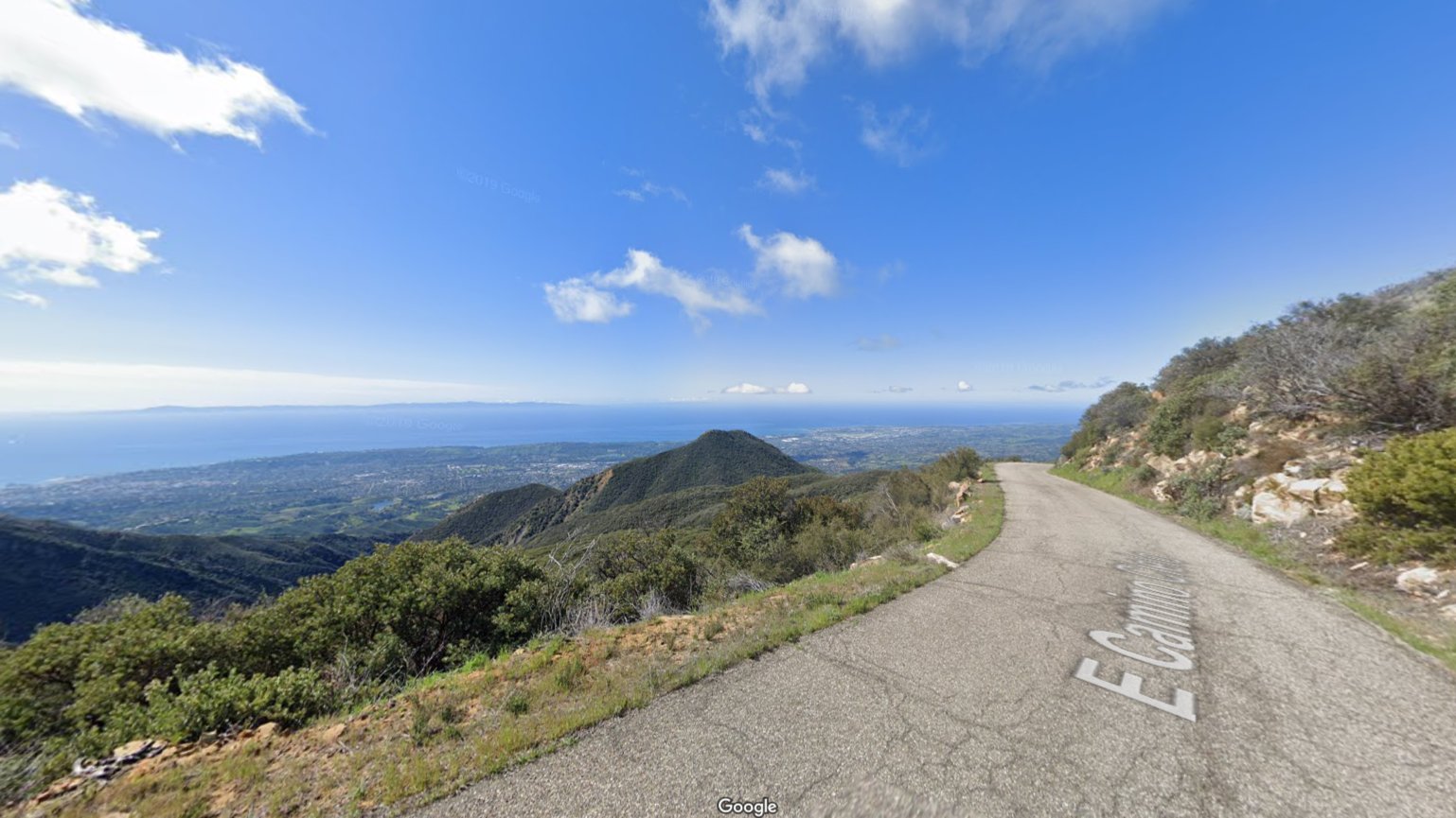
ONE OF THE BETTER RIDES I'VE DONE This is an opportunity to take on East Camino Cielo Road to enjoy the stunning views overlooking Santa Barbara and the Pacific Ocean that it offers. We'll start near the Cold Springs Tavern and make our way up to La Cumbre Peak. After enjoying the views and a […]

San Jacinto Wilderness one night backpack to Hidden Lake and Tahquitz peak.

Humber Park Fern Valley Road 24559, Idyllwild-Pine Cove, CA, United States

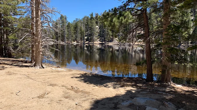
Details June 21st-22nd, 2025 - San Jacinto Wilderness one night backpack to Hidden Lake and Tahquitz peak. 16 miles total and 4,700' gain over both days. The camp will be a remote site in the Skunk cabbage area. This is the first of four training hikes for the High Sierra Trail trek in September. (Giant […]

Meandering hike at Placerita Canyon Natural Area to the Falls OUT and BACK

Placerita Canyon Nature Center 19152 Placerita Canyon Rd, Newhall, CA, US

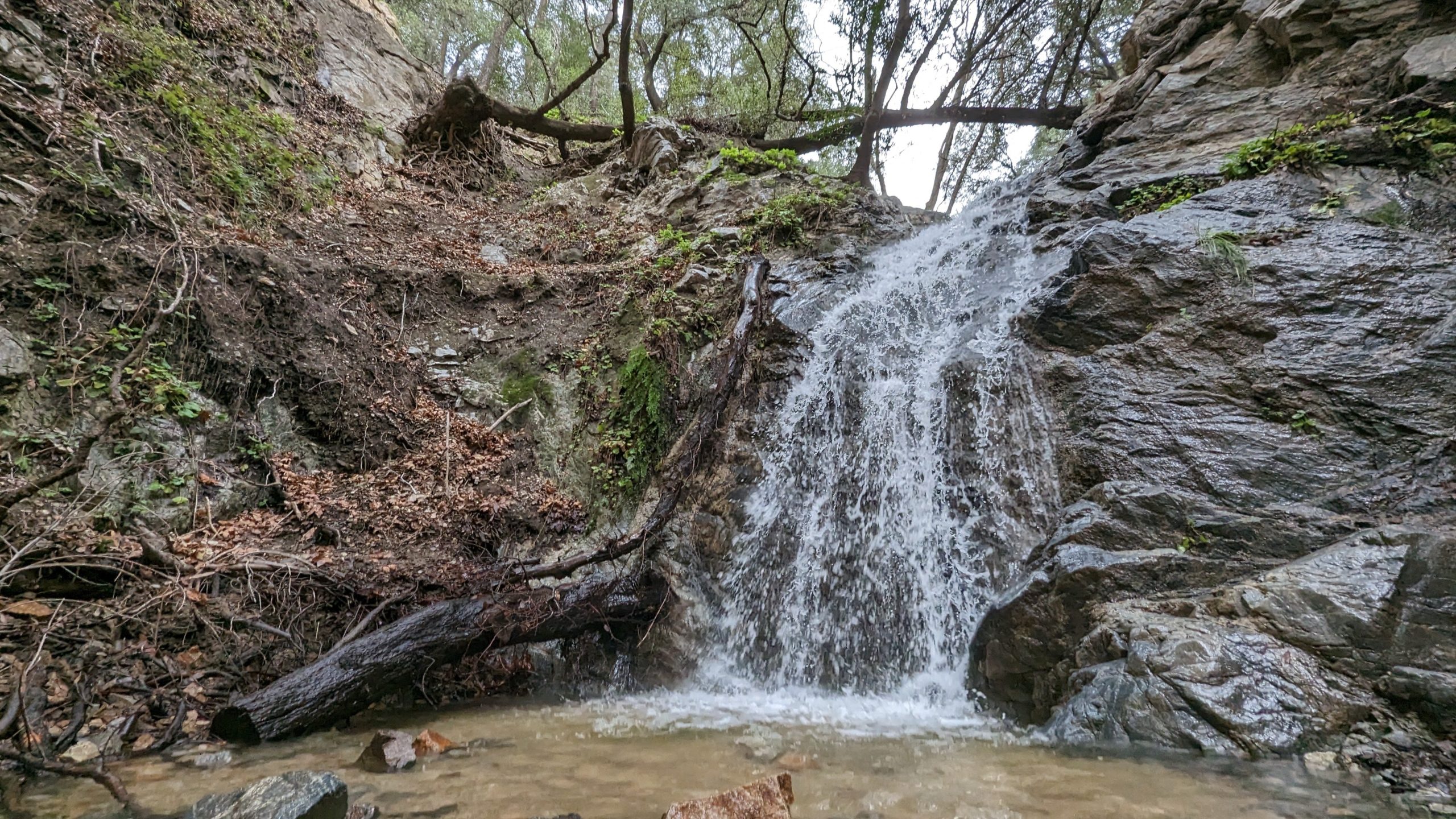
Nice and easy hike, if you are thinking about hiking and want to try something easy this is the hike for you! We will hike out to the waterfall area and see if there is any water in the waterfall. Chances are not likely but we shall see, there might even be some cool rocks! […]


Trail statistics are approximate. For safety purposes always assume they are underestimated. But don’t be disappointed if they are overestimated. Bring more water and snacks than you think you’ll need.

Trail descriptions are based on previous hikes. Current conditions are unknown until arrival. Expect the unexpected and plan accordingly.

The Organizers and members of Hiking With Dean are not professional leaders, guides, or mountaineers. The function of the member or organizer is only to organize the trip. Each person who shows up for a trip/meetup (and their guest or guests) is responsible for his or her own safety. By attending a hike, or any other event organized by this group, you are acknowledging that you and any guests that you bring are aware of the risks, dangers and hazards associated with the activity and freely accept and fully assume all such risks, dangers and hazards, and further agree to release and discharge the Organizers, Members of the Hiking With Dean Meetup Group from and against any and all liability arising from your participation in the group activities per our ASSUMPTION OF RISK AND LIABILITY WAIVER and Section 6.2 of the Meetup.com Terms of Service.