Site Search

Hiking Calendar

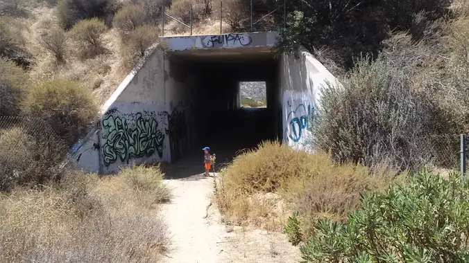
Wildlife Tunnel Loop – Intermediate. Easier Option: Fit Beginner

Rocky Peak Trailhead Rocky Peak Rd, Simi Valley, CA, US

Intermediate - 3 miles, 1000' gain Easier Option - Fit Beginner, 1.4 miles, 525' gain. This hike is relatively short, but the middle portion is a rugged and continuous incline for 1 mile with about 700' of gain. Even though we'll be taking this trail at the pace of a social hike, beginners may find […]

Hike at Aliso and Wood Canyons Park – Up Cholla, Down Mathis

Canyon View Staging Area 22124 Utility Access, Aliso Viejo, CA, US

We are going to be starting at the Canyon View Staging Area. This hike will be about 6.2 miles with around 1,000 ft. of elevation gain. We will be starting at Canyon View Park and taking Cholla up to West Ridge and comic down Mathis. Link to Parking from Google Maps: https://www.google.com/maps/place/Canyon+View+Staging+Area/@33.585273,-117.7465062,17z/data=!3m1!4b1!4m5!3m4!1s0x80dce61b6bd45c2d:0x5ef3f1ad687cc8b5!8m2!3d33.585273!4d-117.7443175 Dogs are not […]

Short/ Long Local Conditioning Hike: East Cyn or go on to Mission Peak O/B

Saugus to the Sea Road Saugus to the Sea Rd, Santa Clarita, CA, US

July 1, 2023 - Shorter or Longer Local Conditioning Hike: East Canyon to its end or go on a bit longer to Mission Peak (both are Out and Back) DISTANCE/ GAIN: Both hikes are Out and Back (O/B) style; length depends on whether you do the second part (an extra ~3 miles round trip). NOTE: […]

Brown Mountain Dam Waterfall

Parking lot La Cañada Flintridge, CA, US

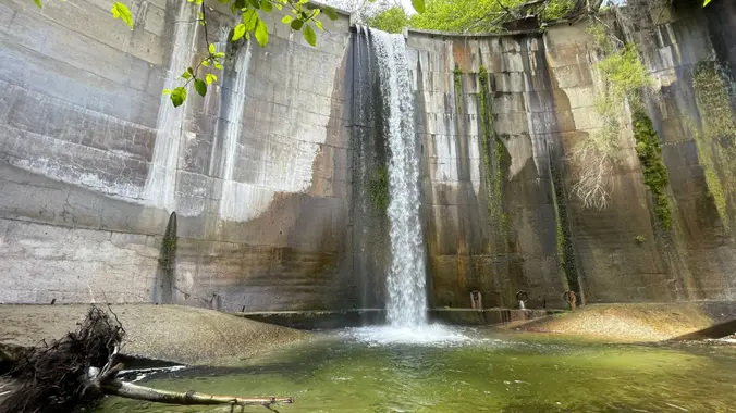
https://www.alltrails.com/trail/us/california/brown-mountain-dam-waterfall Hello Fellow Hikers, Historical Landmark Brown Mountain Dam sits right in the Middle of the Arroyo Seco River. This 81 foot waterfall quickly transports you from the suburbans to a natural wonderland. This dam was built in the early 1940's and has become a big part of the wildlife below. Not uncommon to come […]

Hike at Whiting Ranch – Wahoo’s Parking Lot

Wahoo's Fish Taco 27412 Portola Parkway, Foothill Ranch, CA, US

This hike will be about 5.4 miles total with 820 ft. of elevation gain. We are starting at the parking lot at the Wahoo's parking lot. We will take Live Oak Trail. This turns into Serrano Road which will take us to Serrano Cow Trail. At this part of the trail, we usually see a […]

Full Moon hike Angel Vista – Easy Intermediate

Rosewood Trailhead 305 Regal Oak Ct, Thousand Oaks, CA, US

3.0 miles, 800' gain, easy-intermediate. Let's enjoy the gorgeous sunset and the full moon, and fun loaded potluck picnic at the beautiful Angel Vista! This hike is rated easy-intermediate because it is a continuous incline for 1.5 miles. This isn't real steep, but it is continuous, and many beginner hikers have indicated this should be […]

🎆 4th of July Hike at Whiting Ranch – Wahoo’s Parking Lot

Wahoo's Fish Taco 27412 Portola Parkway, Foothill Ranch, CA, US

This hike will be about 5.4 miles total with 820 ft. of elevation gain. We are starting at the parking lot at the Wahoo's parking lot. We will take Live Oak Trail. This turns into Serrano Road which will take us to Serrano Cow Trail. At this part of the trail, we usually see a […]

Tapo Canyon Trail

Tapo Canyon Road Tapo Canyon Rd, Simi Valley, CA, US

https://www.alltrails.com/trail/us/california/tapo-canyon-trail?u=i (It's gonna be warm this day so we are gonna start at 8am to be off the trail by 10am..) Hello Fellow Hikers, Join me on a easier moderate hike at Tapo Canyon Trail in Simi Valley. This hike has a nice gradual walk until we start a gradual climb were we will start […]

Hike Rosewood Trail to Angel Vista and ***Celebrate the 4th of July!🇺🇸🌟✨🎉

150 Regal Oak Ct 150 Regal Oak Ct, Thousand Oaks, CA, US

We will enjoy our hike and have a post-hike potluck gathering to celebrate the 4th of July in my back yard from 12:30 pm to 4 pm. All active Trailblazers are also welcome to join the gathering and bring your favorite food, beverage or dessert to share. The address will be sent just after the […]


Trail statistics are approximate. For safety purposes always assume they are underestimated. But don’t be disappointed if they are overestimated. Bring more water and snacks than you think you’ll need.

Trail descriptions are based on previous hikes. Current conditions are unknown until arrival. Expect the unexpected and plan accordingly.

The Organizers and members of Hiking With Dean are not professional leaders, guides, or mountaineers. The function of the member or organizer is only to organize the trip. Each person who shows up for a trip/meetup (and their guest or guests) is responsible for his or her own safety. By attending a hike, or any other event organized by this group, you are acknowledging that you and any guests that you bring are aware of the risks, dangers and hazards associated with the activity and freely accept and fully assume all such risks, dangers and hazards, and further agree to release and discharge the Organizers, Members of the Hiking With Dean Meetup Group from and against any and all liability arising from your participation in the group activities per our ASSUMPTION OF RISK AND LIABILITY WAIVER and Section 6.2 of the Meetup.com Terms of Service.