Site Search

Hiking Calendar

Rancho Potrero trails loop in Rancho Sierra Vista/Satwiwa ~ Gentler Intermediate

Rancho Potrero Trailhead 5020 WEST LYNN RD,, Thousand Oaks, CA, US

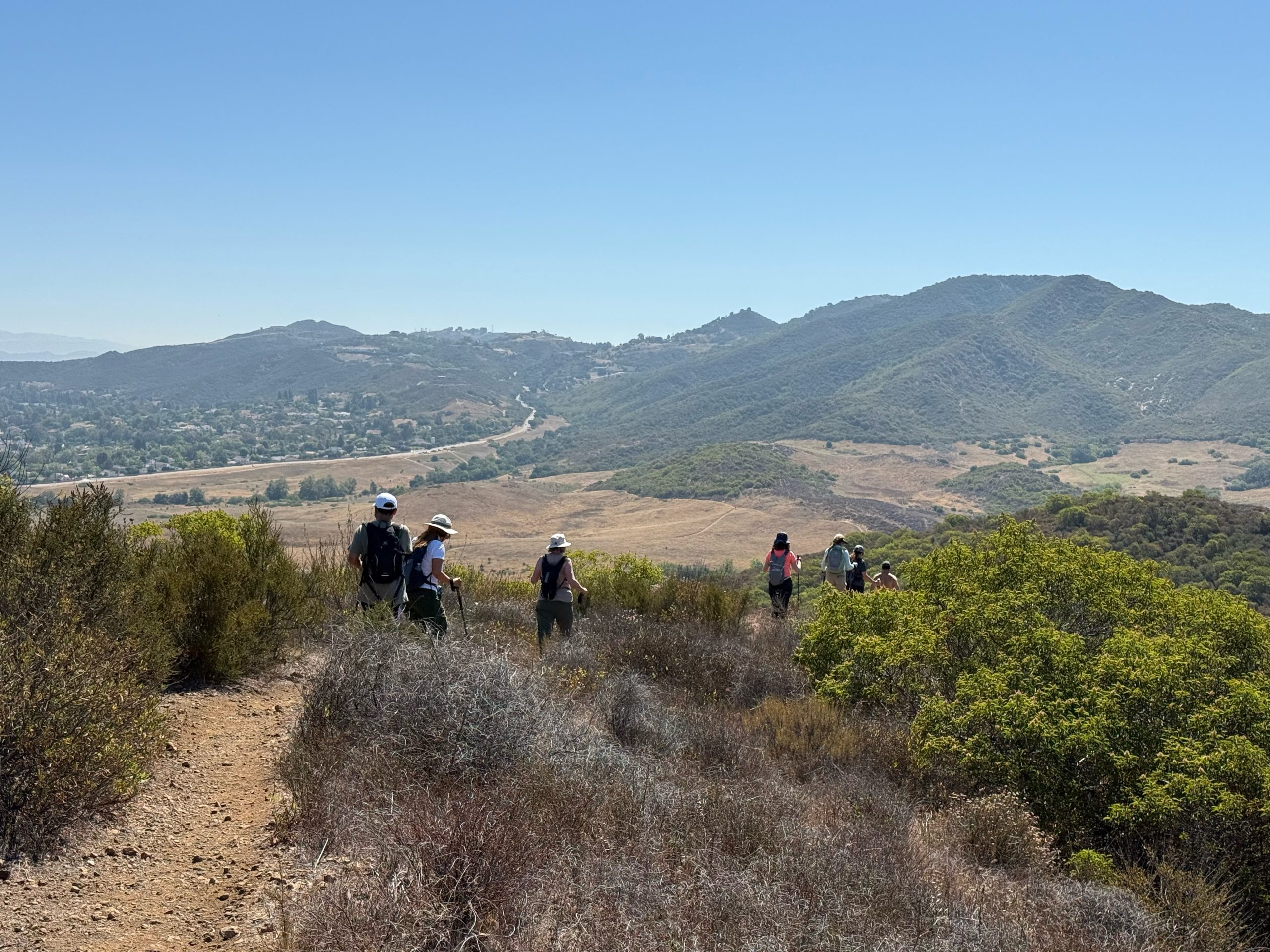
To beat the heat, we will start at 8:00am. The hike begins at the parking lot to the Ranch Potrero Trail, turning right onto Olympia Farm Trail. We will check out old Olympia Farms Amphitheater and Picnic area and loop back to Ranch Potrero Trail. At the juncture of Sycamore Canyon Fire Road, we will […]

Encinal to Trancas Canyon and Bridge – Intermediate Hike

Backbone Trail - Encinal Canyon Trailhead Encinal Canyon Rd, Malibu, CA, US

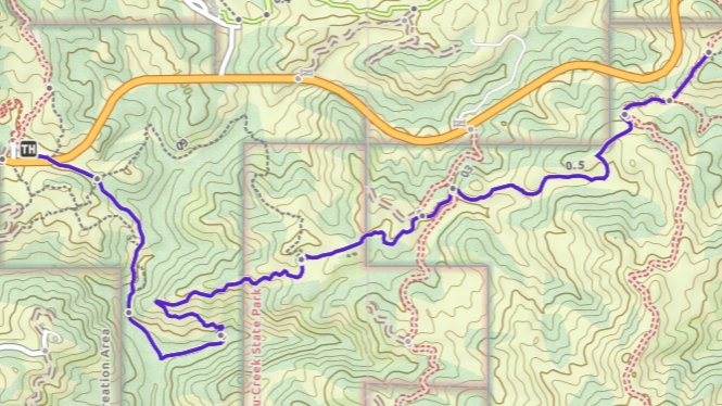
This out-and-back hike on the Backbone Trail is about 8 miles with about 1,550' of total elevation gain (there will be a shorter 5+ mile option, see below). The hike starts and ends at our usual trailhead for the Encinal Canyon hike. We'll cross the road, descend into a shaded single-track trail with a couple […]

Whitehorse Lollipop – Intermediate / Easier option

Triunfo Community Park 1869 Tamarack St., Westlake Village, ca, US

Intermediate, 5.25 mi, 1000' gain Easy option: 2.8 mi, 700' gain. Even easier option: 2.2 mi, 600' gain. Fit beginners can complete this hike, but it will certainly get their blood pumping. This is not a conditioning hike, it's a social hike. We'll be stopping at various points to let people catch up and to […]

SAN BUEEANAVENTURA STATE BEACH TO LAKE CASITAS – PAVED STREETS AND BIKE PATHS

San Buenaventura State Beach, Ventura, CA San Buenaventura State Beach, Ventura, CA, Moorpark, CA, US

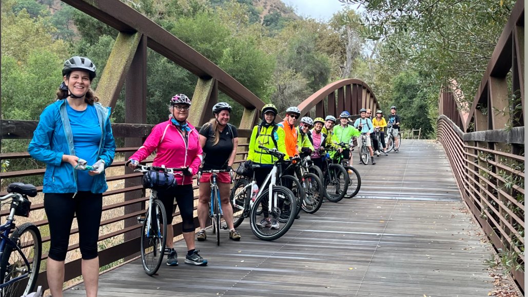
**ROUTE BIKE RIDE DESCRIPTION: We'll start out on a paved two lane bike path on one of the best and most scenic bike paths in Southern California, and then we'll get some street riding in to Lake Casitas. We'll finish the ride on the bike path back to Ventura. MEETUP LOCATION AND TIME: San Buenaventura […]

BIKE RIDE – BIKE PATH & STREET – VENTURA TO RINCON AND BACK

Rancho Potrero Trailhead 5020 WEST LYNN RD,, Thousand Oaks, CA, US

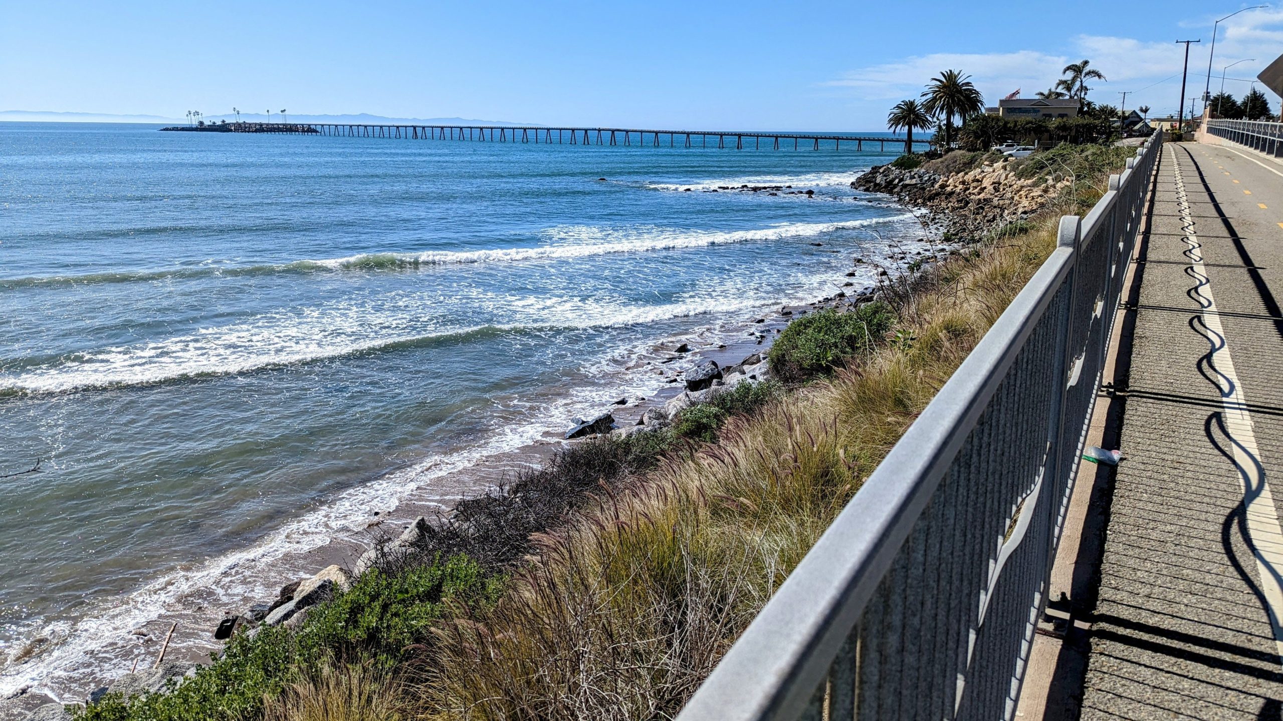
BIKE RIDE FROM VENTURA TO RINCON AND BACK We'll be riding from San Buenaventura State Beach in Ventura to Rincon Point and back. Afterwards, as an option, we'll head (via bike) to Dukes Bar and Grill at 1124 S Seaward Ave, Ventura for a debriefing. Make sure you bring along a spare inner tube. MEETUP […]

Boney Mountain Hike – Intermediate

Rancho Sierra Vista/Satwiwa Wendy Trailhead Potrero Rd & S Wendy Dr, Newbury Park, CA, US

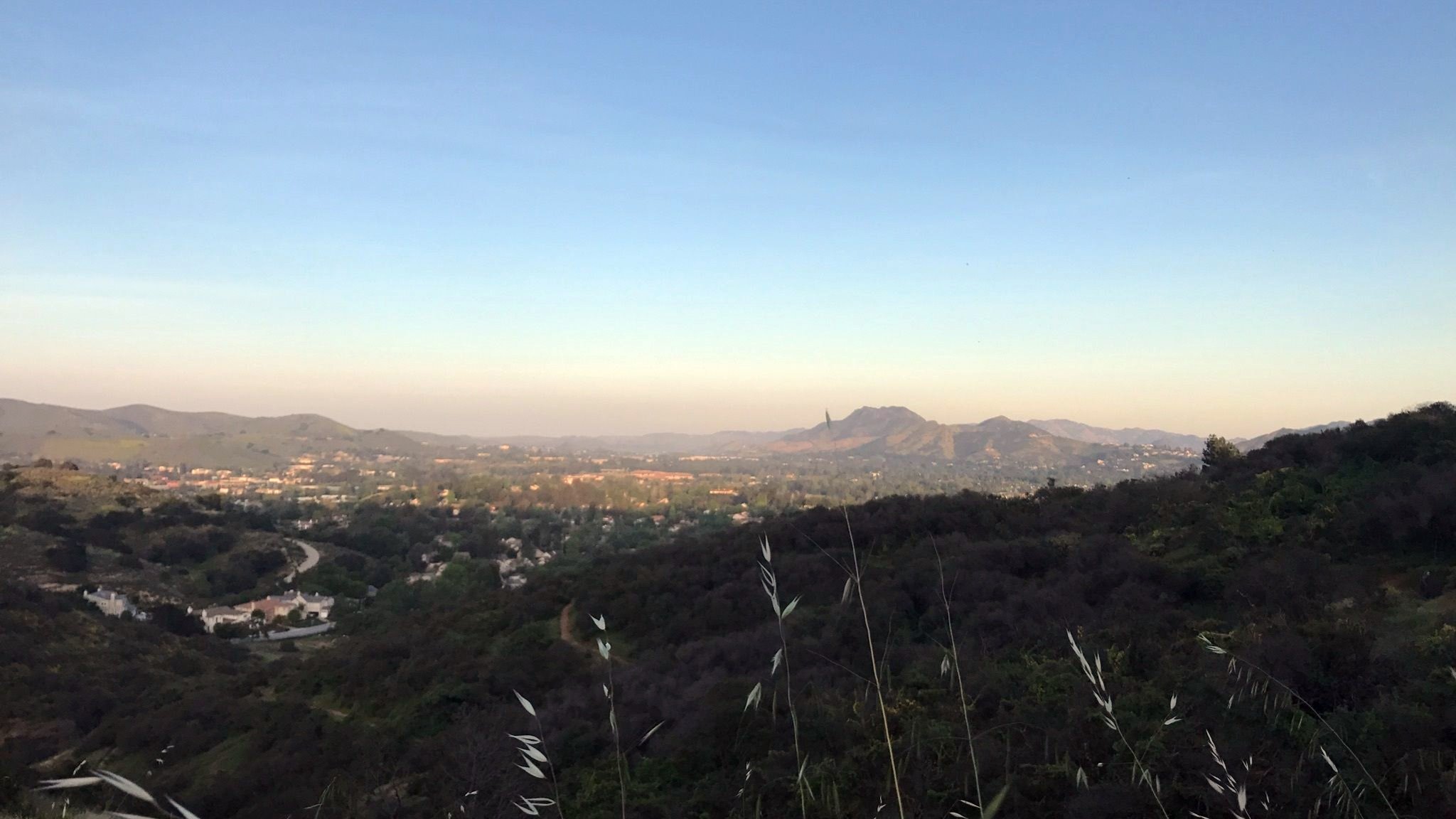
Please read these restrictions before signing up. Don't show up unless you're shown on the "Attending" list Unregistered or waitlisted will be turned away No "Plus Ones" on this hike We will go to our overlook on Boney for a beautiful 360 degree viewpoint. We will have a good time hiking through the area and […]

Los Robles trailhead, walking down to Las Padres and up and around

Los Robles Trail 351 S Moorpark Rd, Thousand Oaks, CA, US

NOTE: It will be hot Thursday, but this hike has lots of trees so hopefully 8:30 will work. We will begin in the parking lot at the end of Moorpark and walk down the street to the Las Padres trail (so do no turn down Greenmeadow, park at the end of Moorpark). From there we […]

OOPS! Thursday’s Backbone East from Las Virgenes/Piuma to El Nido – Out and Back

Piuma Cyn Parking Area Piuma Rd & Malibu Cyn Rd, Malibu, CA, US

**During warm weather Monte Nido is a little island of coolness. So this Thursday we’ll be hiking a section of the Backbone Trail that runs through it. The trail is particularly pretty, and very shaded overall. We’ll meet at the pay parking lot on Malibu Canyon, just south of Piuma Rd. (There is some free […]

Morro Bay Camping Trip, Thurs Aug 14 – Sun Aug 17, 2025

Morro Bay State Park Campground Morro Bay Campground State Park Road Morro Bay, CA 93442, Morro Bay, CA, US

CHC Camping Trip Morro Bay State Park Campground. August 14-17, 2025 Join us for a fun and educational beach campout! Morro Bay State Park is located 13 miles west of San Luis Obispo, on the Central Coast about 3.5 hours from Santa Clarita. The park features a lagoon and natural bay habitats, and a natural […]


Trail statistics are approximate. For safety purposes always assume they are underestimated. But don’t be disappointed if they are overestimated. Bring more water and snacks than you think you’ll need.

Trail descriptions are based on previous hikes. Current conditions are unknown until arrival. Expect the unexpected and plan accordingly.

The Organizers and members of Hiking With Dean are not professional leaders, guides, or mountaineers. The function of the member or organizer is only to organize the trip. Each person who shows up for a trip/meetup (and their guest or guests) is responsible for his or her own safety. By attending a hike, or any other event organized by this group, you are acknowledging that you and any guests that you bring are aware of the risks, dangers and hazards associated with the activity and freely accept and fully assume all such risks, dangers and hazards, and further agree to release and discharge the Organizers, Members of the Hiking With Dean Meetup Group from and against any and all liability arising from your participation in the group activities per our ASSUMPTION OF RISK AND LIABILITY WAIVER and Section 6.2 of the Meetup.com Terms of Service.