Site Search

Hiking Calendar

  Annual Fundraiser Hike for World Peace

sycamore canyon campgrounds NATURE CENTER 9000 West Pacific Coast Highway, Malibu, CA, Los Angeles, CA, US

Annual Fundraiser Hike for World Peace Sunday, June 29th 8am Meet at Trailhead for Delicious Coffee and Pastries! 8:30am Hike begins 11:30am Delicious Lunch at Tushita KBC located in the Oaks Mall! Registration Fee: $30 payable at trail head of event site - Sherwood Forest Los Robles Trail Scenic Loop, corner of Moorpark Road and […]

Wildwood Park Potluck Hike – Las Flores

604 W Avenida De Las Flores 604 W Avenida De Las Flores, Thousand Oaks, CA, US

Fit Beginner - 4 miles, 600' gain The gain is well distributed, with half being on the return. We start at the Las Flores trailhead where Las Flores dead-ends at Wildwood Park, and head west. After 1/3 mile, the trail becomes Wildwood Canyon Trail. We continue for another 2/3 mile and cross a bridge just […]

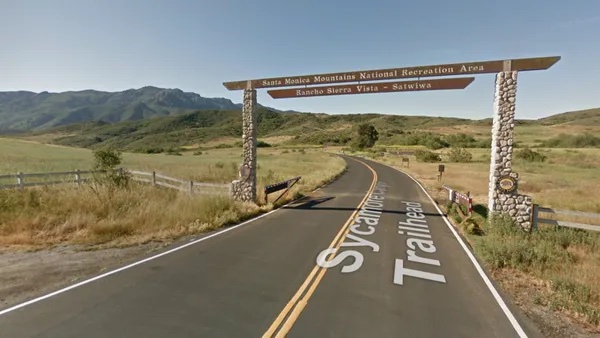
Rancho Sierra Vista/Satwiwa trail loops hike ~ Gentler Intermediate

Rancho Sierra Vista/Satwiwa Main Parking Lot Pinehill Avenue, Newbury Park, ca, United States

"Satwiwa" is Chumashan and directly translates to "the bluffs," which can also translate to "higher places," and is the Chumashan name used for a former village near the current culture center. The Ranch Overlook Trail extends from just west of the culture center to the Palomino Trail in the Rancho Potrero Open Space. https://www.conejovalleyguide.com/dosomethingblog/ranch-overlook-trail-in-rancho-sierra-vistasatwiwa-in-newbury-park This […]

Overlooking Sycamore Canyon – an Intermediate, Cooler Hike

Sycamore Canyon Trailhead Sycamore Canyon Road, Malibu, CA, United States

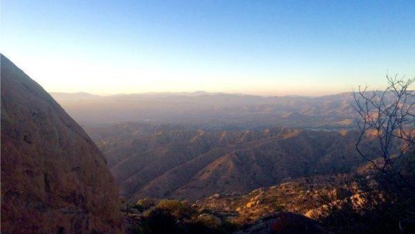
Just off the ocean, Sycamore Canyon is a wide, seemingly flat stroll among grasses, wildflower, and sycamore trees, surrounded by mountains on both sides. Rather than letting that lull you into a false sense of complacency, we'll take a left turn just after we start, and hike up the southern fork of Overlook Trail to […]

CAMARILLO LOOP via paved roads + lunch at the Camarillo Airport

sycamore canyon campgrounds NATURE CENTER 9000 West Pacific Coast Highway, Malibu, CA, Los Angeles, CA, US

Here's a cooler ride in Camarillo that we can do which consist mostly of paved streets. We will be on some paved bike paths as well as a bit of a very easy dirt road. Make sure you have Tannus inserts, green slime or FlatOut in your inner tubes to avoid flats. MEETUP LOCATION AND […]

Sage Ranch Lollipop – Fit Beginner

Sage Ranch 1 Black Canyon Road, Simi Valley, CA, US

3 miles. 560' gain, fit beginner This is a special hike that we typically do just once or twice about this time of year during the week, because of the late sunset time. Free parking is limited. Carpooling recommended. As of June 2024, the first part of the clockwise loop was closed, but we found […]

BARD LAKE LOOP via dirt trails and streets

sycamore canyon campgrounds NATURE CENTER 9000 West Pacific Coast Highway, Malibu, CA, Los Angeles, CA, US

Although this ride is a loop around Bard Lake, you'll never be close enough to see the lake. We'll get some dirt roads in before finishing most of the ride on streets. Make sure you have Tannus inserts, green slime or FlatOut in your inner tubes to avoid flats. MEETUP LOCATION AND TIME: At Lang […]

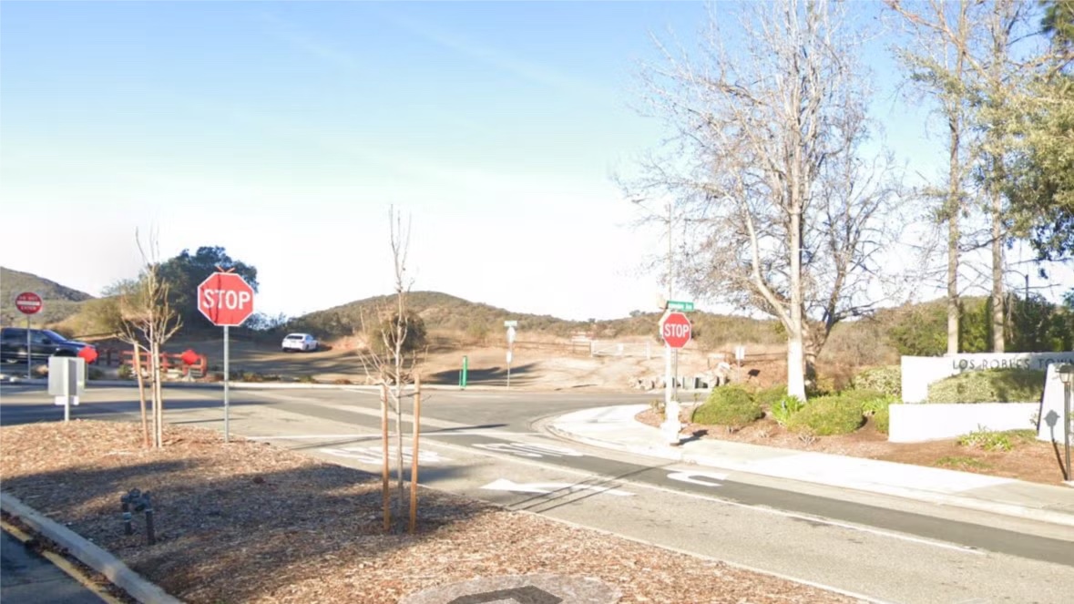
Los Robles trailhead, walking down to Las Padres and up and around

Los Robles Trail 351 S Moorpark Rd, Thousand Oaks, CA, US

NOTE: This hike has lots of trees. We will start at 8:30. We will begin in the parking lot at the end of Moorpark and walk down the street to the Las Padres trail. From there we will loop around and come back to the Moorpark trailhead via the Los Robles trail. Some hikers may […]

Kanan Dume to Latigo ~ Gentler Friendly – Not Beginner

Newton Canyon Trailhead 1600 South Kanan Dume Road, Malibu, CA, US

We will start on Kanan at Newton Canyon and hike to Latigo Canyon Rd. It is a little steep at the beginning but then turns into a nice hike. This hike is about 6 miles with about 1000’ gain and will take us on a less-traveled but quite beautiful part of the 67-mile Backbone trail. […]


Trail statistics are approximate. For safety purposes always assume they are underestimated. But don’t be disappointed if they are overestimated. Bring more water and snacks than you think you’ll need.

Trail descriptions are based on previous hikes. Current conditions are unknown until arrival. Expect the unexpected and plan accordingly.

The Organizers and members of Hiking With Dean are not professional leaders, guides, or mountaineers. The function of the member or organizer is only to organize the trip. Each person who shows up for a trip/meetup (and their guest or guests) is responsible for his or her own safety. By attending a hike, or any other event organized by this group, you are acknowledging that you and any guests that you bring are aware of the risks, dangers and hazards associated with the activity and freely accept and fully assume all such risks, dangers and hazards, and further agree to release and discharge the Organizers, Members of the Hiking With Dean Meetup Group from and against any and all liability arising from your participation in the group activities per our ASSUMPTION OF RISK AND LIABILITY WAIVER and Section 6.2 of the Meetup.com Terms of Service.