• Gentler / Beginner: Kanan Dume to Latigo – 5 miles

    Newton Canyon Trailhead 1600 South Kanan Dume Road, Malibu, CA, US

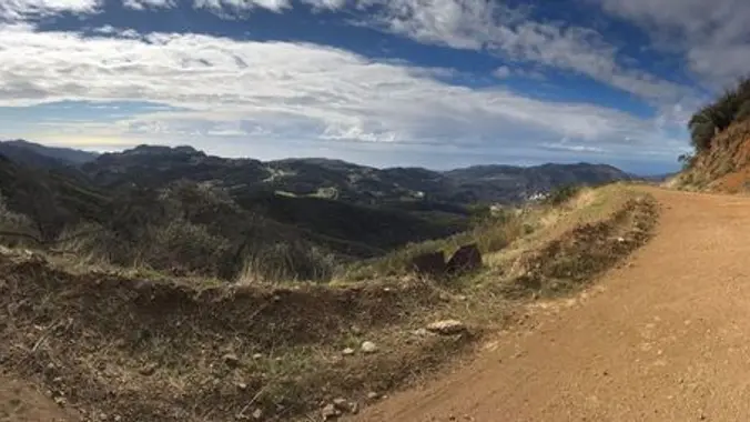
    This is an easier hike for Tuesday, another has also been posted close by, please only sign up for one hike. This hike is 5 miles and will take us on a less-traveled but quite beautiful part of the 67-mile Backbone Trail, which runs through the Santa Monica Mountains National Recreation Area from Will Rogers […]

  • Encinal Canyon to Top of the World ~ Intermediate Hike

    Encinal Canyon Road Backbone Trail 1097 Encinal Canyon Road, malibu, CA, US

    Encinal Canyon is named for encina, the Spanish word for the holm oak, a lovely Mediterranean tree with holly characteristics. Holm oaks are one of the main trees used to establish truffle orchards, but we'll be nosing around the canyon strictly for its beauty. The trail from Encinal is a smooth, firm, and well-traveled single […]

  • Wendy Lollipop

    4128 Potrero Rd 4128 Potrero Rd, Thousand Oaks, CA, US

    4.6 miles, 1000' gain, Easy Intermediate Easier Option - 2.7 miles, 320' gain Many have gotten lost relying on GPS. This is the Wendy Trailhead, where S. Wendy Dr. ends at Potrero Rd. Heading out, we cross a creek, turn right at the split, then Turn right at the dead end. We regroup at the […]

  • Books, WTC Buddies, and Beer

    Radiant Beer Co. 1566 W Lincoln Ave, Anaheim, CA, US

    Grab a copy or download the audiobook then join us on Nov. 14, at Radiant Beer Co for a fun discussion of: Jack Kerouac's The Dharma Bums The book concerns duality in Kerouac's life and ideals, examining the relationship of the outdoors, mountaineering, hiking, and hitchhiking through the western US with his "city life" of […]

  • Hike Bommer Ridge into Laguna Coast Wilderness – Loop

    Crystal Cove SP/Laguna Coast - Ridge Park Entrance (map) Ridge Park Rd & E Coastal Peak, Newport Beach, CA, US

    The total distance for this hike is 4.5 miles with about 650 ft. of elevation gain. There are great mountain and ocean views along the ridge. We are going to start on Bommer Ridge Trail and take this to Lizard Trail. We will go down that and loop back up to Bommer via Upper Laurel. […]

  • Santa Rosa Valley to Hill & Hawk Canyons – Gentler 5.5 mile 700′

    Hill Canyon Trailhead 10241 Hill Canyon Road, Camarillo, CA, US

    This route is pretty dry. If we get a deluge, I may consider cancelling, but otherwise it's a go! This loop / lollipop hike starts at the parking area in Hill Canyon. We’ll cross the bridge over the creek, and meander a mile before turning onto the Hawk Canyon Trail, through the notch alongside the […]

  • Rancho Sierra Vista, Peace, Love, and Joy

    Rancho Sierra Vista Rancho Sierra Vista/Point Mugu, Newbury Park, CA, US

    This is an alternative (and probably slower) hike than Steve Johnson posted for Thursday. We will start in the parking lot of SMMNRA and can go up to the monument if it is dry, but if it has rained, we can just go down the asphalt to the picnic tables. If it is raining, however, […]

  • It Never Rains in Southern California #1

    Silver Lake Meadows 2300 Silver Lake Blvd, Los Angeles, CA, US

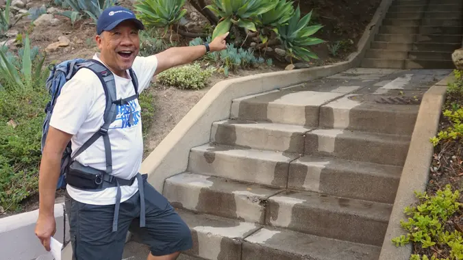
    Come explore the East side, where it never rains until it pours. This urban hike is 5 miles and winds through stairs, streets, sidewalks, and dirt paths over three Silver Lake hills. It includes two separate loops that each start and end at Silver Lake Meadows. The hike covers a range of local topics including […]

  • November 18 Conejo Fall Trail Work Day

    Wildwood Regional Park 928 W Avenida De Los Arboles, Thousand Oaks, CA, US

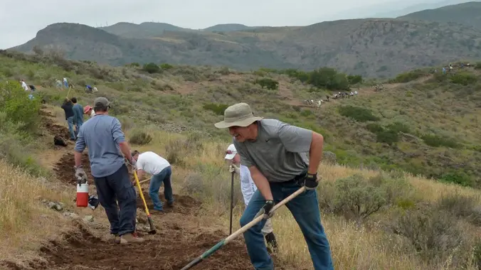
    Come and join your COSCA and COSF friends to fix up some of Conejo Valley's most popular trails in Wildwood Park! The work will be on the Stagecoach Bluff Trail in Wildwood Regional Park, fixing ruts. Monthly work days are organized by the Conejo Open Space Conservation Agency (COSCA), with support from COSF. Meet at […]


Trail statistics are approximate. For safety purposes always assume they are underestimated. But don’t be disappointed if they are overestimated. Bring more water and snacks than you think you’ll need.

Trail descriptions are based on previous hikes. Current conditions are unknown until arrival. Expect the unexpected and plan accordingly.

The Organizers and members of Hiking With Dean are not professional leaders, guides, or mountaineers. The function of the member or organizer is only to organize the trip. Each person who shows up for a trip/meetup (and their guest or guests) is responsible for his or her own safety. By attending a hike, or any other event organized by this group, you are acknowledging that you and any guests that you bring are aware of the risks, dangers and hazards associated with the activity and freely accept and fully assume all such risks, dangers and hazards, and further agree to release and discharge the Organizers, Members of the Hiking With Dean Meetup Group from and against any and all liability arising from your participation in the group activities per our ASSUMPTION OF RISK AND LIABILITY WAIVER and Section 6.2 of the Meetup.com Terms of Service.