Site Search

Hiking Calendar

Onion Valley to Kearsarge Pass and beyond – camping at Gray’s Meadow

Grays Meadows Campground Independence, CA, US

This event is for camping only. Two nights reserved at Gray's Meadow campground in two sites, #35 and #33. Each site can accommodate two cars and there is a 6-person maximum capacity at each site. There will be an $11 per person fee that I will collect from you at the campsite. Come for one […]

Mount Thom and Tongva Peak

Brand Library & Art Center 1601 W Mountain St, Glendale, CA, US

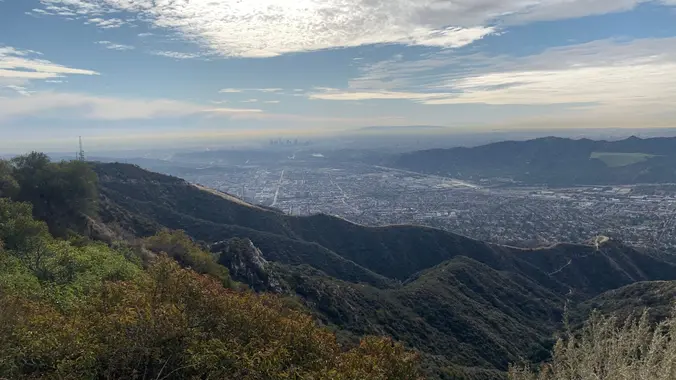
https://www.alltrails.com/trail/us/california/mount-thom-and-tongva-peak-loop Hello Fellow Hikers, Okay I know we have been hitting a lot of further away and more of a all day hikes. Well let's give ourselves a little break and hit one not as far and won't take all day. However that will be it for your break because this trail is gonna kick […]

Onion Valley to Kearsarge Pass and beyond – day hike

Kearsarge Pass Trailhead Onion Valley Rd, Independence, CA, US

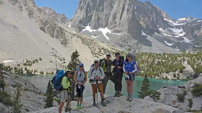
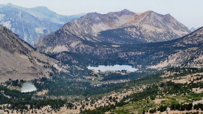
Onion Valley to Kearsarge Pass and beyond This is an out and back day hike that will begin at 8:30am on Saturday, July 9th. This is an extremely popular trail known for its spectacular beauty and as a gateway to the Sierras. You can expect a mixture of shade and sunshine and beautiful lakes along […]

Leo Carrillo to Nicholas Flat – Lunch at Spruzzo

Leo Carrillo State Park 35000 W. Pacific Coast Highway, Malibu, CA, US

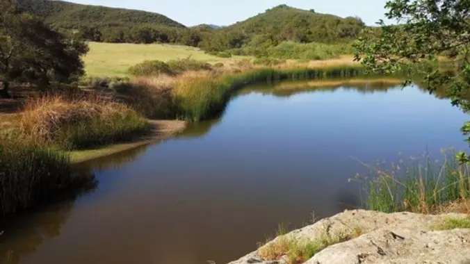
The Nicholas Flats Trail in Leo Carrillo State park is unique in the way it connects the mountains with the sea. Chaparral, grassland, coastal scrub and oak woodland all converge near the flat with spectacular ocean views along the way. An old cattle pond backed by picturesque sandstone outcroppings provides a home for red-wing blackbirds […]

Bruno Mars Tribute – Oak Park

5600 Hollytree Dr 5600 Hollytree Dr, Oak Park, CA, US

Many of us from this group will attend this event. According to the Rancho Simi Recreation Park District website, the band playing is Bruno Mars and the Hooligans, a tribute to Bruno Mars. **Concerts start at 6:30 pm.** Concert is free. Parking on-site is free. **Alcohol is permitted.** Feel free to bring snacks and drink […]

Tapo Canyon Trail

Tapo Canyon Road Tapo Canyon Rd, Simi Valley, CA, US

https://www.alltrails.com/trail/us/california/tapo-canyon-trail?u=i Hello fellow hikers, The heat is here but we still need to keep moving so the goal is to hit this trail (which has partial shade ) and be back at our cars before it gets to hot... so... Join me on a easier moderate hike at Tapo Canyon Trail in Simi Valley. This […]

Angel Vista – almost full moon potluck hike – Easy Intermediate

Rosewood Trailhead 305 Regal Oak Ct, Thousand Oaks, CA, US

3.0 miles, 800' gain, easy-intermediate. Let's enjoy the gorgeous sunset and almost full moon at the beautiful Angel Vista! This hike is rated easy-intermediate because it is a continuous incline for 1.5 miles. This isn't real steep, but it is continuous, and many beginner hikers have indicated this should be rated intermediate. That said, there […]

EBIKE RIDE ON SULPHER MOUNTAIN ROAD IN OJAI

Wrightwood Elementary School 1175 CA-2, Wrightwood, CA, US

BEFORE YOU WILL BE MOVED TO THE GOING LIST, YOU WILL NEED TO UPDATE YOUR CDH PROFILE (The three questions must be answered with a "yes") IF YOU HAVE NOT ALREADY DONE SO. NEED HELP: EBIKE RIDE ALONG UNPAVED ROAD IN THE OJAI AREA Here's a near by bike ride I plan on doing with […]

Lizard Rock Loop

Tennis Court parking lot 635 W Avenida de Los Arboles, Thousand Oaks, CA, US

Easy Intermediate, 4.5 miles, 600' gain Easier Option, 3.5 miles, 460' gain This is a unique loop through Wildwood Park that takes us to the famous Lizard Rock. There are several extended inclines and a few short but steep climbs that cause this to be rated on the easy end of the intermediate spectrum. Beginners […]

[asa2_collection tpl=”Flex_1″ orderby=”rand” limit=”4″]2[/asa2_collection]

Trail statistics are approximate. For safety purposes always assume they are underestimated. But don’t be disappointed if they are overestimated. Bring more water and snacks than you think you’ll need.

Trail descriptions are based on previous hikes. Current conditions are unknown until arrival. Expect the unexpected and plan accordingly.

The Organizers and members of Hiking With Dean are not professional leaders, guides, or mountaineers. The function of the member or organizer is only to organize the trip. Each person who shows up for a trip/meetup (and their guest or guests) is responsible for his or her own safety. By attending a hike, or any other event organized by this group, you are acknowledging that you and any guests that you bring are aware of the risks, dangers and hazards associated with the activity and freely accept and fully assume all such risks, dangers and hazards, and further agree to release and discharge the Organizers, Members of the Hiking With Dean Meetup Group from and against any and all liability arising from your participation in the group activities per our ASSUMPTION OF RISK AND LIABILITY WAIVER and Section 6.2 of the Meetup.com Terms of Service.