Site Search

Hiking Calendar

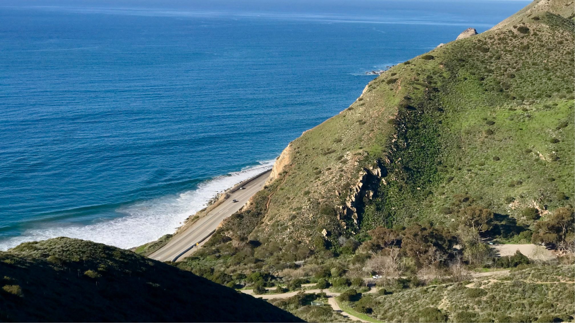
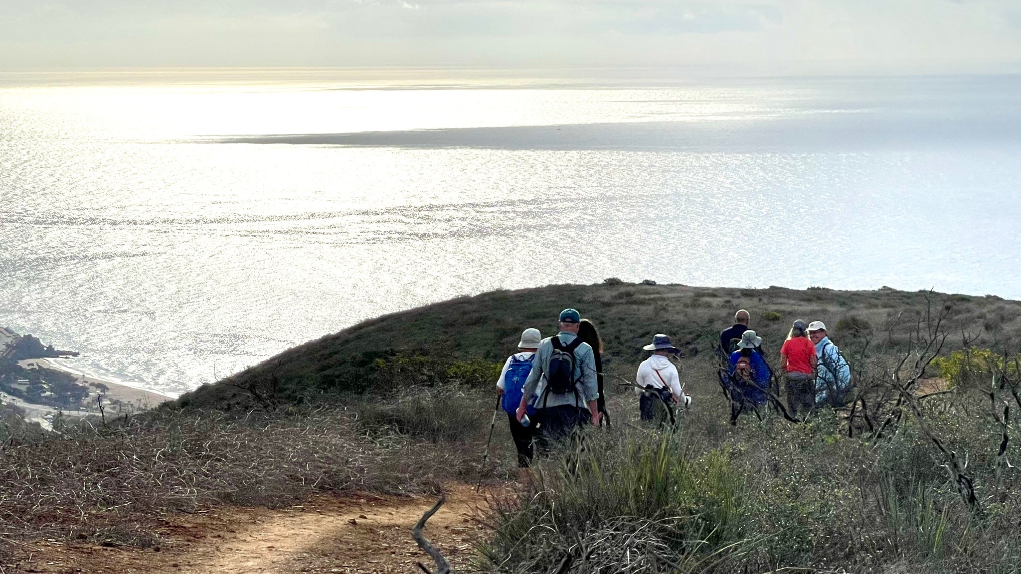
Avoiding the Heat at Ray Miller Trail ~ Gentler 5.3 miles 1000′ 8am Start

Ray Miller Trailhead Malibu, CA, US

Although even the Malibu coast is forecast to be in the high 80s by late afternoon, we'll avoid this and even warmer inland temperatures by starting early. We'll hike up to the Overlook Trail fire road and back, for a total of 5.3 miles and 1000' of elevation gain and loss. There is currently a […]

Long Canyon – Upside down lollipop

572 Bannister Way 572 Bannister Way, Simi Valley, CA, US

Easy Intermediate, 4 miles, 900' gain The address given, is not the address of the hike. It is a nearby address that may cause your GPS to drive past the trailhead. This is an upside down lollipop that takes us first to the highest point in the area where the views are fantastic. The return […]

Wendy Lollipop – Cooler location

4128 Potrero Rd 4128 Potrero Rd, Thousand Oaks, CA, US

4.6 miles, 1000' gain, Easy Intermediate Easier Option - 2.7 miles, 320' gain Many have gotten lost relying on GPS. This is the Wendy Trailhead, where S. Wendy Dr. ends at Potrero Rd. Heading out, we cross a creek, turn right at the split, then Turn right at the dead end. We regroup at the […]

Carpinteria to Santa Barbara Coastal Ride – Out and Back

Rancho Potrero Trailhead 5020 WEST LYNN RD,, Thousand Oaks, CA, US

Enjoy the cooler weather and coastal views! We start near Padaro Beach Grill in Carpinteria and head up Padaro Lane into Summerland. Then proceed up the coast into Montecito enjoying the beautiful views of Butterfly Beach (home of Four Seasons Resort Biltmore) and onto the bike paths next to the Santa Barbara waterfront. We ride […]

Hike at O’Neill Regional Park – Vista Outlook (Loop) + Optional Brunch @ Cook’s

O'Neill Regional Park 30892 Trabuco Canyon Rd, Trabuco Canyon, CA, US

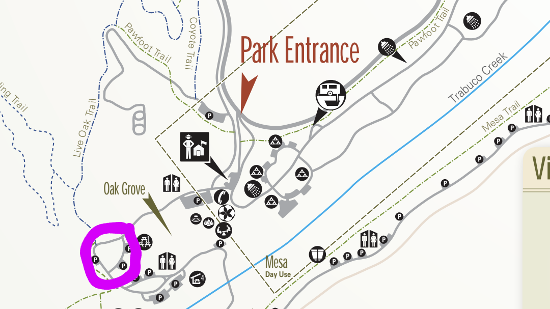
The hike we will be doing is approximately 5 miles with 870 ft. of elevation gain. We will begin at the Live Oak Trail trailhead. This is where you will see on the map that the Live Oak Trail hits the paved road. This is the parking lot closest to the Edna Spaulding Trail. (There […]

SOCIAL HANG & CONCERT IN THE PARK

13552 Fiji Way 13552 Fiji Way, Marina del Rey, CA, US

FOR THIS ONE, LEAVE YOUR BIKE AT HOME AND -- LET'S HAVE A "SOCIAL HANG & ATTEND A "FREE" CONCERT IN THE PARK!" Saturday, August 23rd | 5:30-8:30pm "The Smooth Sounds of Santana" 5:30 - Arrive and let's find a nice spot / area for the group. 6:00 - Food Trucks open for service 7:00 […]

Hike at Aliso and Wood Canyons Park – Up Cholla, Down Mathis

Canyon View Staging Area 22124 Utility Access, Aliso Viejo, CA, US

We are going to be starting at the Canyon View Staging Area. This hike will be about 6.2 miles with around 1,000 ft. of elevation gain. We will be starting at Canyon View Park and taking Cholla up to West Ridge and comic down Mathis. Link to Parking from Google Maps: https://www.google.com/maps/place/Canyon+View+Staging+Area/@33.585273,-117.7465062,17z/data=!3m1!4b1!4m5!3m4!1s0x80dce61b6bd45c2d:0x5ef3f1ad687cc8b5!8m2!3d33.585273!4d-117.7443175 Dogs are not […]

Tribute to Bob Seger & the Silver Bullet Ban – Potluck Picnic & Concert

23400 Park Sorrento 23400 Park Sorrento, Calabasas, CA, US

TURN THE PAGE - Tribute to Bob Seger & the Silver Bullet Ban Bob Seger. The name alone brings back a flood of memories. Memories of growing up, first love, parties and a time when music helped define who you were. Bob Seger and the Silver Bullet Band truly provided the soundtrack to a generation. […]

Ray Miller Trail in La Jolla Canyon ~ Gentler Intermediate

Ray Miller Trailhead Malibu, CA, US

This hike will be Gentler Intermediate and Earlier of the Tuesday hikes! The trail is an awesome blend of ocean and mountain views in Malibu’s La Jolla Canyon. We will start from the trailhead which follows the canyon eastward, away from the ocean. Then, it quickly brings you back toward the ocean at a gradual […]


Trail statistics are approximate. For safety purposes always assume they are underestimated. But don’t be disappointed if they are overestimated. Bring more water and snacks than you think you’ll need.

Trail descriptions are based on previous hikes. Current conditions are unknown until arrival. Expect the unexpected and plan accordingly.

The Organizers and members of Hiking With Dean are not professional leaders, guides, or mountaineers. The function of the member or organizer is only to organize the trip. Each person who shows up for a trip/meetup (and their guest or guests) is responsible for his or her own safety. By attending a hike, or any other event organized by this group, you are acknowledging that you and any guests that you bring are aware of the risks, dangers and hazards associated with the activity and freely accept and fully assume all such risks, dangers and hazards, and further agree to release and discharge the Organizers, Members of the Hiking With Dean Meetup Group from and against any and all liability arising from your participation in the group activities per our ASSUMPTION OF RISK AND LIABILITY WAIVER and Section 6.2 of the Meetup.com Terms of Service.