Site Search

Hiking Calendar

Doin’ the Big, Fig Newton Canyon

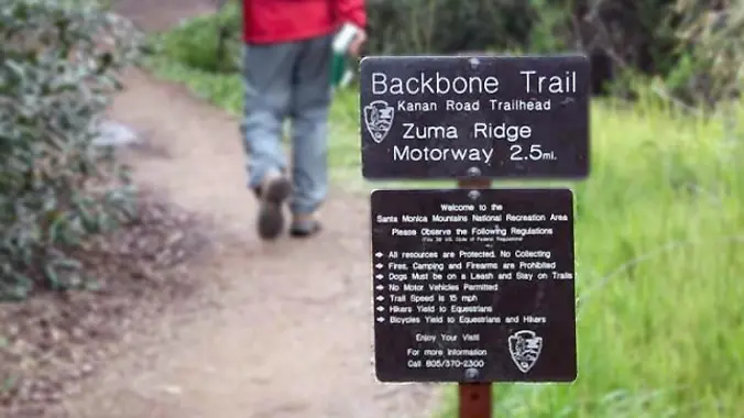
BBT - Kanan Dume 1720 Kanan Dume Rd, Malibu, CA, US

http://photos1.meetupstatic.com/photos/event/b/a/2/4/event_99467652.jpeg Please bring a headlamp or flashlight just in case. The waterfall should be flowing. This is an Out and Back so all levels are welcome as we will do a sweep on our way back. It will be 5 miles with about 900+ elevation gain. From the Kanan Rd trailhead, we'll jump on the […]

Into the Wild; Permit Systems Demystified

Sports Basement Kalama River Avenue 10800, Fountain Valley, CA, United States

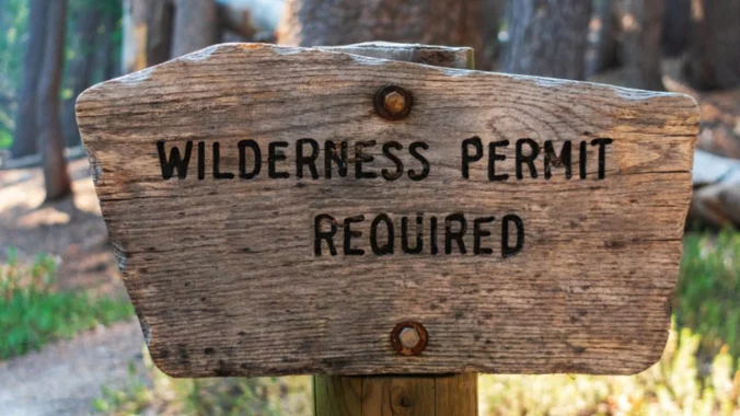
If you love hiking, backpacking, and camping, but find yourself held back by the overwhelming and mysterious permitting system, then we are here to help. In this class, we'll talk about permits for: * National Parks and Forests (Recreation.com) * CA State Parks * Backcountry vs car camping permits * Local camping opportunities * Six […]

Hill Canyon starting at Santa Rosa Regional Park

Hill Canyon Trailhead 10241 Hill Canyon Road, Camarillo, CA, US

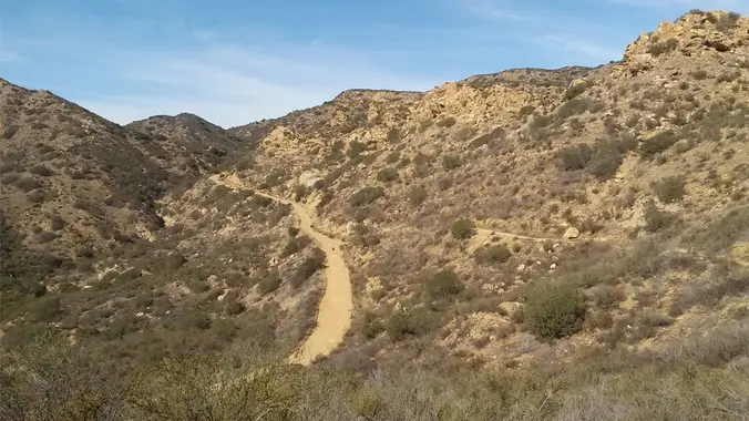
We will do the same hike that the other group is doing except in the opposite direction. We will start in Camarillo at the Santa Rosa Regional Park. We will probably run into the other group at some point, say hi and continue on. We will start at the parking area in Hill Canyon, cross […]

Palo Comado Lollipop – Easy Intermediate

Doubletree/Sunnycrest Trailhead Oak Springs Drive & Doubletree Road, Oak Park, CA, US

4.6 miles, 900' gain, easy-intermediate This route takes us through a beautiful canyon via a counter-clockwise lollipop. Most of the hike has a clear view of the sky, with a few parts that have tree cover. We'll be stopping at the half-way point for a snack and beverage share. We'll start at the Palo Comado […]

Rockhouse Canyon Anza Borrego

Clark Dry Lake 33.32439, -116.29032, Borrego Springs, ca, US

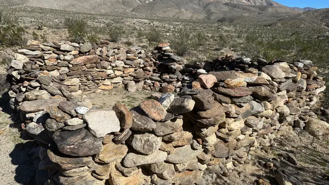
Overnight trip up Rockhouse Canyon Did this last year and found the spring! Hike up Rockhouse Canyon to a wonderful campsite among the cottonwoods. Description from Afoot and Afield: Rockhouse Canyon and the broad, sloping alluvial basin drained by it-informally known as Rockhouse Valley -constitute one of Southern California's truly forgotten places. Prior to the […]

Exploring Caves – Hike at Aliso and Wood Canyons Park

Canyon View Staging Area 22124 Utility Access, Aliso Viejo, CA, US

We are going to be starting at the Canyon View Staging Area. This hike is roughly 7 miles with relatively low elevation gain. The expectation is to definitely make it to Cave Rock and Dripping Cave. Hopefully we see animals too! Link to Parking from Google Maps: https://www.google.com/maps/place/Canyon+View+Staging+Area/@33.585273,-117.7465062,17z/data=!3m1!4b1!4m5!3m4!1s0x80dce61b6bd45c2d:0x5ef3f1ad687cc8b5!8m2!3d33.585273!4d-117.7443175 Dogs are not allowed at this park. […]

Elsmere Canyon with Extra Credit to Whitney Canyon Falls.

Newhall Ave/14 Freeway Park N Ride Whitney Canyon Road, Newhall, CA, US

Saturday February 22 2025 - Elsmere - (Visiting the Jack Plant Area, Eagle Pass, New Elsmere. Then its choose your own adventure: Option 1. (6.5 Miles) If interested in getting a little extra cardio you can follow us,up and over to Whitney Canyon to check out the water falls. That means a bit of uphill. […]

Late Morning Hike at Whiting Ranch – Wahoo’s Parking Lot

Wahoo's Fish Taco 27412 Portola Parkway, Foothill Ranch, CA, US

This hike will be about 5.4 miles total with 820 ft. of elevation gain. We are starting at the parking lot at the Wahoo's parking lot. We will take Live Oak Trail. This turns into Serrano Road which will take us to Serrano Cow Trail. At this part of the trail, we usually see a […]

Wendy Trailhead to Olympia Vista – Potluck Hike

4128 Potrero Rd Hidden Valley, CA, United States

5.0 miles, 640' gain, Easy Intermediate Please see the photo for more details. This is a potluck hike. Please bring food, drinks to share. If your item requires utensils/plates/toothpicks, etc., please bring them. You may wish to bring your own cup, plate, and utensils in case there aren't any. Snacks and/or beverages to share At […]


Trail statistics are approximate. For safety purposes always assume they are underestimated. But don’t be disappointed if they are overestimated. Bring more water and snacks than you think you’ll need.

Trail descriptions are based on previous hikes. Current conditions are unknown until arrival. Expect the unexpected and plan accordingly.

The Organizers and members of Hiking With Dean are not professional leaders, guides, or mountaineers. The function of the member or organizer is only to organize the trip. Each person who shows up for a trip/meetup (and their guest or guests) is responsible for his or her own safety. By attending a hike, or any other event organized by this group, you are acknowledging that you and any guests that you bring are aware of the risks, dangers and hazards associated with the activity and freely accept and fully assume all such risks, dangers and hazards, and further agree to release and discharge the Organizers, Members of the Hiking With Dean Meetup Group from and against any and all liability arising from your participation in the group activities per our ASSUMPTION OF RISK AND LIABILITY WAIVER and Section 6.2 of the Meetup.com Terms of Service.