• Rancho Sierra Vista/Satwiwa trail loops hike ~ No more 🔥warning 🙏

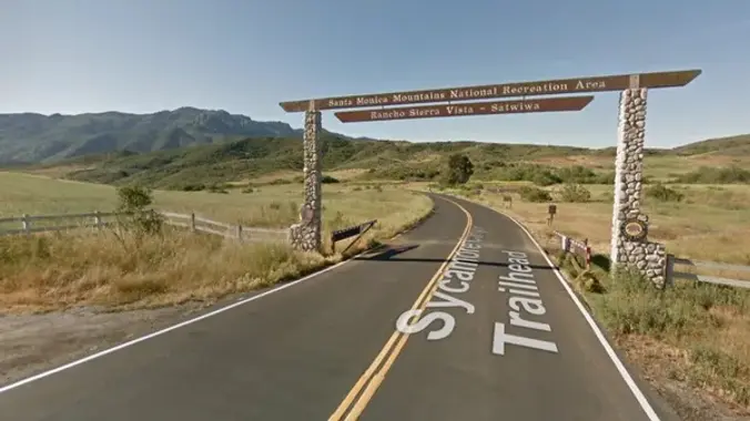
    Rancho Sierra Vista/Satwiwa Main Parking Lot Pinehill Avenue, Newbury Park, ca, United States

    "Satwiwa" is Chumashan and directly translates to "the bluffs," which can also translate to "higher places," and is the Chumashan name used for a former village near the current culture center. The Ranch Overlook Trail extends from just west of the culture center to the Palomino Trail in the Rancho Potrero Open Space. https://www.conejovalleyguide.com/dosomethingblog/ranch-overlook-trail-in-rancho-sierra-vistasatwiwa-in-newbury-park This […]

  • Oakbrook Vista – Intermediate

    Oakbrook Vista Trailhead 3222 Lang Ranch Parkway, Thousand Oaks, CA, US

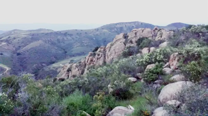
    3.2 miles, 900' gain, Intermediate. The first part is a steady incline, followed by a rolling trail to our destination. Fit beginners can complete this hike, but it will certainly get their blood pumping. There are no super steep sections. This hike takes us to a secret spot below a large rock formation. Naturally into […]

  • Santa Paula Canyon to Punchbowls

    Chumash Trailhead - Pacific Coast Highway Naval Air Station Point Mugu, CA, United States

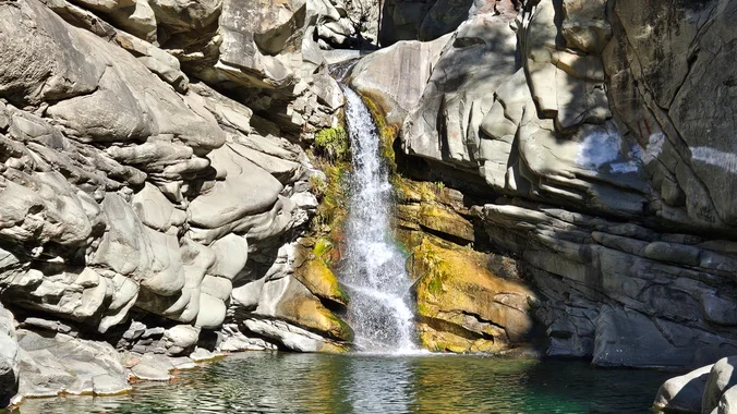
    DETAILS: · Hike leader volunteer(s): Dave. · Meet: Trail head to the left of St. Thomas Aquinas College entrance. · Distance: ~ 10 Miles total (out and back style) · Elevation gain: ~ 1600' · Time: Approximately 5 hours hiking including a couple of 15 minute breaks. · Conditioning: You need to be in generally […]

  • Saturdays in the Santa Monica Mountains 2025 #0 – Griffith Park Mini Peaklets

    Griffith Park Merry-Go-Round 4730 Crystal Springs Dr, Los Angeles, CA, US

    To replace the canceled Wilderness Adventures Section 2025 Saturday in the Santa Monica Mountains series Simi Peak outing, join us intead on a substitute hike in Griffith Park, the finest city park in the country. This is an intermediate hike of 7 miles and 1800 feet gain at a moderate pace with scrambles to multiple […]

  • Saturdays in the Santa Monica Mountains 2025 #1 – Simi Peak

    China Flat Trailhead 1399 King James Ct, Oak Park, CA, US

    Join us for our second hike in the 2025 Saturdays in the Santa Monicas series to Simi Peak via the China Flat and Suicide Trails, a moderate, 7-mile loop, 2000' gain hike. We will hike through China Flat, and there are many great views along the way! Bring water, snacks, sunscreen, and a good attitude. […]

  • Late Morning Hike – Tijeras Creek Trail to the Arroyo Trabuco Trail – Loop

    Cañada Vista Park 24328 Antonio Pkwy, Rancho Santa Margarita, CA, US

    This hike will be about 7 miles with about 700 ft. of elevation gain. We will start the hike at Cañada Vista Park. From here we will take the Tijeras Creek Trail to the Arroyo Trabuco Trail and use this to loop back to where we started. There will be a few water crossings, so […]

  • Wind Caves – The Domelands (Anza Borrego Desert)

    Chevron Gas Station 1071 N Imperial Hwy Ocotillo, CA 92259, Ocotillo, CA, US

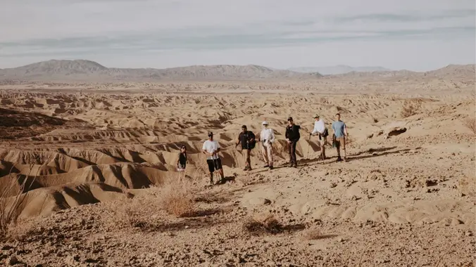
    Intermediate Backpacking Trip (only because it's a Dry Camp) Milage: 7 - 14 miles (depending on route) Some Cross country hiking. Ascent: +700-1000 ft High clearance vehicles recommended....but we have seen regular car make it. Dry camp (no water) Maps/GPX files/Google map From last year trip. Instagram Video) There are several places in Anza-Borrego State […]

  • Malibu Creek SP Visitor Center (No Host)

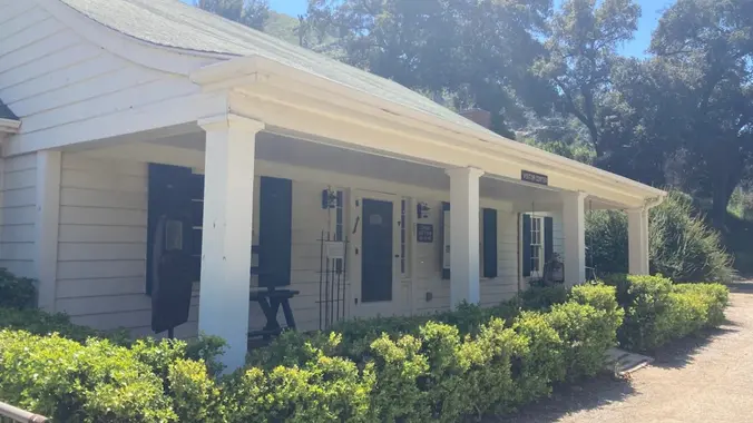
    Malibu Creek State Park Visitor Center - HWD Agoura Hills, CA, United States

    I'll be working in the Malibu Creek State Park Visitor Center on this Sunday. We are open from Noon to 4pm. Stop by and say hello -- and for a private tour. About the VC The MCSP Visitor Center (VC) is a historic building and is over 100 years old. Malibu Creek Docents operate the […]

  • Wildwood Park Potluck Hike – Las Flores

    604 W Avenida De Las Flores 604 W Avenida De Las Flores, Thousand Oaks, CA, US

    Fit Beginner - 4 miles, 600' gain The gain is well distributed, with half being on the return. We start at the Las Flores trailhead where Las Flores dead-ends at Wildwood Park, and head west. After 1/3 mile, the trail becomes Wildwood Canyon Trail. We continue for another 2/3 mile and cross a bridge just […]


Trail statistics are approximate. For safety purposes always assume they are underestimated. But don’t be disappointed if they are overestimated. Bring more water and snacks than you think you’ll need.

Trail descriptions are based on previous hikes. Current conditions are unknown until arrival. Expect the unexpected and plan accordingly.

The Organizers and members of Hiking With Dean are not professional leaders, guides, or mountaineers. The function of the member or organizer is only to organize the trip. Each person who shows up for a trip/meetup (and their guest or guests) is responsible for his or her own safety. By attending a hike, or any other event organized by this group, you are acknowledging that you and any guests that you bring are aware of the risks, dangers and hazards associated with the activity and freely accept and fully assume all such risks, dangers and hazards, and further agree to release and discharge the Organizers, Members of the Hiking With Dean Meetup Group from and against any and all liability arising from your participation in the group activities per our ASSUMPTION OF RISK AND LIABILITY WAIVER and Section 6.2 of the Meetup.com Terms of Service.