Site Search

Hiking Calendar

Hike at Whiting Ranch – Wahoo’s Parking Lot

Wahoo's Fish Taco 27412 Portola Parkway, Foothill Ranch, CA, US

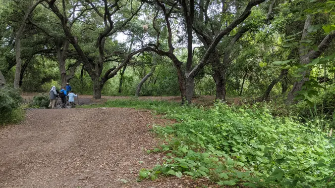
This hike will be about 5.4 miles total with 820 ft. of elevation gain. We are starting at the parking lot at the Wahoo's parking lot. We will take Live Oak Trail. This turns into Serrano Road which will take us to Serrano Cow Trail. At this part of the trail, we usually see a […]

Rocky Peak – My Way 😇

Twin Lakes Plateau 21600 Poema Pl, Chatsworth, CA

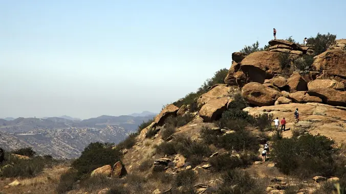
A special hike to Rocky Peak that only HWD can deliver. Rocky Peak, located in Rocky Peak Park, is the fourth-highest point in the Santa Susana Mountains, and overlooks the San Fernando Valley and Chatsworth, the Simi Hills, and the Simi Valley in Southern California. The peak, which is 2,715 feet in elevation, sits on […]

COSF: Water: Where it comes from, how we use it, where it goes—& why it matters

Long Canyon Trail At the intersection of Long Canyon Road & Wood Ranch Pkwy, Simi Valley, CA, US

Please join Conejo Open Space Foundation for a live online presentation by local expert Jennifer Lancaster who will discuss the origins of our water, how it’s used, where it winds up, and whether those practices are sustainable at their current levels. After the presentations, there will be a Q & A session for attendees to […]

Hill & Hawk Canyons to trails with wildflower blooms – Gentler Intermediate

Hill Canyon Trailhead 10241 Hill Canyon Road, Camarillo, CA, US

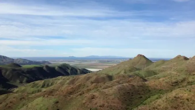
This is a second hike for Thursday at Hill Canyon in Camarillo. It is a gentler hike. We will start at the parking area in Hill Canyon, cross the bridge over the runoff creek, and stroll a mile before turning onto the Hawk Canyon Trail. The Hawk Canyon Trail connects to Western Plateau Trail and […]

Dos Vientos Loop from Mountain Creek Dr – Gentler Friendly

Mountain Creek Drive Mountain Creek Dr, Thousand Oaks, CA, US

UPDATE: Please review our guidelines to participate in our hikes. Here are some highlights and a link to the guidelines: https://www.meetup.com/The-Weekday-Trailblazers/about/ Restrictions apply for your safety and ours: Don't show up unless you're on the "Attending" list No "Plus Ones" on this hike Plan on completing the entire hike at a reasonable pace or please […]

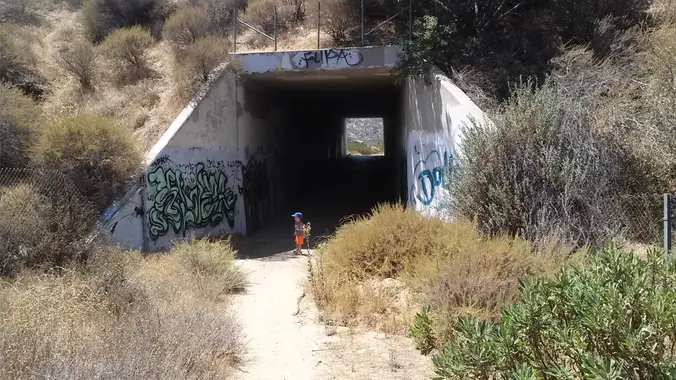
Wildlife Tunnel Loop – Intermediate. Easier Option: Fit Beginner

Rocky Peak Trailhead Rocky Peak Rd, Simi Valley, CA, US

Intermediate - 3 miles, 1000' gain Easier Option - Fit Beginner, 1.4 miles, 525' gain. This hike is relatively short, but the middle portion is a rugged and continuous incline for 1 mile with about 700' of gain. Even though we'll be taking this trail at the pace of a social hike, beginners may find […]

Hike at Aliso and Wood Canyons Park – Up Cholla, Down Mathis

Canyon View Staging Area 22124 Utility Access, Aliso Viejo, CA, US

We are going to be starting at the Canyon View Staging Area. This hike will be about 6.2 miles with around 1,000 ft. of elevation gain. We will be starting at Canyon View Park and taking Cholla up to West Ridge and comic down Mathis. Link to Parking from Google Maps: https://www.google.com/maps/place/Canyon+View+Staging+Area/@33.585273,-117.7465062,17z/data=!3m1!4b1!4m5!3m4!1s0x80dce61b6bd45c2d:0x5ef3f1ad687cc8b5!8m2!3d33.585273!4d-117.7443175 Dogs are not […]

Short/ Long Local Conditioning Hike: East Cyn or go on to Mission Peak O/B

Saugus to the Sea Road Saugus to the Sea Rd, Santa Clarita, CA, US

July 1, 2023 - Shorter or Longer Local Conditioning Hike: East Canyon to its end or go on a bit longer to Mission Peak (both are Out and Back) DISTANCE/ GAIN: Both hikes are Out and Back (O/B) style; length depends on whether you do the second part (an extra ~3 miles round trip). NOTE: […]

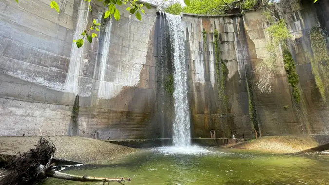
Brown Mountain Dam Waterfall

Parking lot La Cañada Flintridge, CA, US

https://www.alltrails.com/trail/us/california/brown-mountain-dam-waterfall Hello Fellow Hikers, Historical Landmark Brown Mountain Dam sits right in the Middle of the Arroyo Seco River. This 81 foot waterfall quickly transports you from the suburbans to a natural wonderland. This dam was built in the early 1940's and has become a big part of the wildlife below. Not uncommon to come […]


Trail statistics are approximate. For safety purposes always assume they are underestimated. But don’t be disappointed if they are overestimated. Bring more water and snacks than you think you’ll need.

Trail descriptions are based on previous hikes. Current conditions are unknown until arrival. Expect the unexpected and plan accordingly.

The Organizers and members of Hiking With Dean are not professional leaders, guides, or mountaineers. The function of the member or organizer is only to organize the trip. Each person who shows up for a trip/meetup (and their guest or guests) is responsible for his or her own safety. By attending a hike, or any other event organized by this group, you are acknowledging that you and any guests that you bring are aware of the risks, dangers and hazards associated with the activity and freely accept and fully assume all such risks, dangers and hazards, and further agree to release and discharge the Organizers, Members of the Hiking With Dean Meetup Group from and against any and all liability arising from your participation in the group activities per our ASSUMPTION OF RISK AND LIABILITY WAIVER and Section 6.2 of the Meetup.com Terms of Service.