Site Search

Hiking Calendar

Hawk Canyon lollipop – Pot Luck hike

Conejo Canyons Trail Head 2010 Conejo Center Dr, Thousand Oaks, CA, US

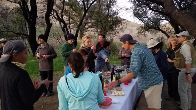
4.2 miles, 700' gain, easy-intermediate. Easier option: 2.7 miles, 500' gain, fit beginner. This is a pot-luck hike. We'll be stopping at the 3/4 point by a picnic table, so please bring food and drink to share, and any utensils your items might require. We have had occasions where there were no utensils, so it […]

Whitehorse Lollipop – Intermediate / Easier option

Triunfo Community Park 1869 Tamarack St., Westlake Village, ca, US

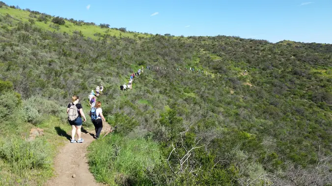
Intermediate, 5.25 mi, 1000' gain Easy Option: 2.8 mi, 700' gain. Fit beginners can complete this hike, but it will certainly get their blood pumping. This is not a conditioning hike, it's a social hike. We'll be stopping at various points to let people catch up and to make sure they make any turns. We'll […]

eBike Trail Ride: ULV – Cheeseboro – Palo Comado Big Loop

Upper Las Virgenes Cyn - HWD 6000 Las Virgenes Rd, Calabasas, ca, US

Its been several years since I posted a bike ride. All bikes are welcome. On this one we'll travel the gently rounded hills and canyons of Cheeseboro and Palo Comado Canyons, starting from Upper Las Virgenes Canyon. This outing will be an opportunity to discuss ebike tips and tricks. I am on my third ebike […]

Long Canyon – Lower Loop

572 Bannister Way 572 Bannister Way, Simi Valley, CA, US

3 miles, 800' gain, Easy Intermediate. Easy option, 1.4 miles, 450' gain, Fit Beginner The address given is not the address of the hike. It is nearby and may cause you to drive past the trailhead if navigating by GPS. Route From the trailhead parking lot, up for 0.7 mile on Long Canyon Trail to […]

La Jolla Cyn Trailhead/ Ray Miller Backbone/ Overlook Trail to La Jolla Camp

La Jolla Canyon California, CA, US

Please read the full Description below CAREFULLY so you are aware of all meeting time/ location/ directions, details etc. THX Saturday July 17 - La Jolla Cyn Trailhead/ Ray Miller Backbone Trail / Overlook Trail to La Jolla Valley Trail Camp TIME(s): Meet at Trailhead (at the back of the parking lot) at 7:45 AM […]

Tapo Canyon Trail

Tapo Canyon Road Tapo Canyon Rd, Simi Valley, CA, US

https://www.alltrails.com/trail/us/california/tapo-canyon-trail?u=i Hello fellow hikers, The heat is here but we still need to keep moving so the goal is to hit this trail (which has partial shade ) and be back at our cars before it gets to hot... so... Join me on a easier moderate hike at Tapo Canyon Trail in Simi Valley. This […]

“It’s Not My Fault” – San Andreas Fault Field Trip

Meet Near Bear Divide See Details below, Santa Clarita etc., CA, US

PLEASE READ ENTIRE EVENT DESCRIPTION FOR LOCATION/ HOST INFORMATION! We will view the surface expressions of the San Andreas Fault (SAF), the boundary between two tectonic plates. We will see old sag ponds, local geology, long linear features, displaced volcanic rock, pulverized granite, shutter ridges, fault gouge on a road cut, and have a picnic […]

Clyde Canyon, Lower Loop, and Charmichael Road Trail Loop

Charmlee Wilderness Park 2577 Encinal Canyon Rd, Malibu, CA, US

https://www.alltrails.com/trail/us/california/clyde-canyon-trail-to-lower-loop-trail-to-charmichael-road-trail-loop Hello Fellow Hikers, Okay back from the insane Whitney trip and have my truck back from the shop it is finally time to hit the dirt! This is a trail one of our members found (Kim Jung) :) This will be a lot cooler hike as it has a nice ocean breeze. This is […]

Surf City All Stars – Potluck Picnic & Concert at Calabasas Lake

23400 Park Sorrento 23400 Park Sorrento, Calabasas, CA, US

Surf City All Stars "Dance the night away to your favorite surf music. We're closing out the summer with the greatest hits of the Beach Boys and Jan & Dean!" Let's enjoy potluck picnic. Please bring food and drinks to share. If your item requires utensils, please supply them. Located at the Calabasas Lake Greenbelt […]

[asa2_collection tpl=”Flex_1″ orderby=”rand” limit=”4″]2[/asa2_collection]

Trail statistics are approximate. For safety purposes always assume they are underestimated. But don’t be disappointed if they are overestimated. Bring more water and snacks than you think you’ll need.

Trail descriptions are based on previous hikes. Current conditions are unknown until arrival. Expect the unexpected and plan accordingly.

The Organizers and members of Hiking With Dean are not professional leaders, guides, or mountaineers. The function of the member or organizer is only to organize the trip. Each person who shows up for a trip/meetup (and their guest or guests) is responsible for his or her own safety. By attending a hike, or any other event organized by this group, you are acknowledging that you and any guests that you bring are aware of the risks, dangers and hazards associated with the activity and freely accept and fully assume all such risks, dangers and hazards, and further agree to release and discharge the Organizers, Members of the Hiking With Dean Meetup Group from and against any and all liability arising from your participation in the group activities per our ASSUMPTION OF RISK AND LIABILITY WAIVER and Section 6.2 of the Meetup.com Terms of Service.