Site Search

Hiking Calendar

🏪🛍️ Extra 20% Off at REI – Even at the Outlet Store 😂

Online event

**Only a couple days left for this sale. Click below for discount and details:** (https://www.avantlink.com/click.php?tt=ml&ti=264573&pw=245133) (Ignore Meetup times. Sale is ongoing until 3/28) And don't forget about the (https://www.hikingwithdean.com/rei/) where I have curated REI items that are at least 50% off: https://www.hikingwithdean.com/rei/

Long Canyon – Upside down lollipop

572 Bannister Way 572 Bannister Way, Simi Valley, CA, US

**Easy Intermediate, 4 miles, 900' gain.** The address given, is not the address of the hike. It is a nearby address that may cause your GPS to drive past the trailhead. Easy Intermediate means it is on the easy end of the intermediate spectrum: https://www.meetup.com/Hiking-Plus/messages/boards/thread/50879781 This is an upside down lollipop that takes us first […]

Challenging Steep Long Sunset Night Hike: DeBell to top of Verdugo Loop

2300 E Walnut Ave 2300 E Walnut Ave, Burbank, CA, US

STATS Difficulty: 5/10, Moderate-Long with steep sections Length: 5.4 miles, 3 hours + breaks Elevation: Gain/loss: 2200' Range: 1500-3000' View: Mountains & City Lights Details: Long Hike, Great views from top ridge TRAILHEAD INFO 2300 E Walnut Ave, Burbank, CA 9150 Map pin is south of address due to gates that get locked at sunset. […]

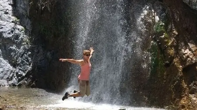
MIDDLE FORK LYTLE CREEK (200′ three tier waterfall) – a WWW trek

Meet at the P&R in Glendale on E. Wilson Ave. 1544 E Wilson Ave, Glendale, CA, Glendale, CA, US

BEFORE YOU WILL BE MOVED TO THE GOING LIST, YOU WILL NEED TO UPDATE YOUR CDH PROFILE (The three questions must be answered with a "yes") IF YOU HAVE NOT ALREADY DONE SO. NEED HELP: go to: https://wp.me/P9MbG4-hC Once again I'll be leading a WWW trek into the Cucamonga Wilderness area to see the three […]

Wendy Lollipop

4128 Potrero Rd 4128 Potrero Rd, Thousand Oaks, CA, US

**4.6 miles, 1000' gain. Easy Intermediate.** Different mapping apps give different directions for the same address, and many have gotten lost relying on GPS. If you don't know this location, please look on a map to find this location before heading out, and don't rely only on GPS. This is the Wendy Trailhead, where S. […]

LA COUNTY ARBORETUM & BOTANIC GARDEN

Dock 52 13509 Fiji Way, Marina Del Rey, CA, US

BEFORE YOU WILL BE MOVED TO THE GOING LIST, YOU WILL NEED TO UPDATE YOUR CDH PROFILE (The three questions must be answered with a "yes") IF YOU HAVE NOT ALREADY DONE SO. NEED HELP: go to: (go to: https://wp.me/P9MbG4-hC)](https://wp.me/P9MbG4-hC](go to: https://wp.me/P9MbG4-hC)) Join me on yet another garden walk for beginner hikers on up. This […]

Salkantay Trek High Elevation Conditioning Hike (Mt. Baldy from Manker Flats).

Mt Baldy Trailhead 901-993 Falls Rd, Mt Baldy, CA, US

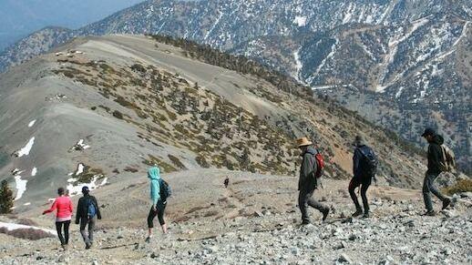
This hike serves as a conditioning hike for people who are doing the Salkantay Trek a couple of weeks later. Those doing the trek are encouraged to do this hike to avoid having any problem when trekking the Andean mountains of Peru. But those not doing the trek are also welcome to join us. The […]

Mt. Wilson Trail for Chili Cheese Dog

Mount Wilson Trail Park 189 E Mira Monte Ave, Sierra Madre, CA, US

The Cafe is opening and join me for a brisk hike for a chili-cheese dog (unclear if they have jalapenos). The Numbers: Distance: 14 mi Elevation Gain: 5000 ft Rating: 8/10 Trail: Single track Parking: Street. Two important items: 2. Curb your tires 1. Keep the noise down so the neighbors don't create parking rules. […]

Bear Divide to Placerita Car Shuttle

Placerita Canyon County Park 19152 Placerita Canyon Rd, Newhall, CA, US

Arrive at the Placerita Nature Center and be prepared to depart at 8:30 am sharp for a shuttle to the Bear Divide Trailhead. The trail immediately heads uphill and continues to do so for 2.2 miles. This is about the only elevation gain of the hike. Much of this is through a lovely shaded woodland. […]


Trail statistics are approximate. For safety purposes always assume they are underestimated. But don’t be disappointed if they are overestimated. Bring more water and snacks than you think you’ll need.

Trail descriptions are based on previous hikes. Current conditions are unknown until arrival. Expect the unexpected and plan accordingly.

The Organizers and members of Hiking With Dean are not professional leaders, guides, or mountaineers. The function of the member or organizer is only to organize the trip. Each person who shows up for a trip/meetup (and their guest or guests) is responsible for his or her own safety. By attending a hike, or any other event organized by this group, you are acknowledging that you and any guests that you bring are aware of the risks, dangers and hazards associated with the activity and freely accept and fully assume all such risks, dangers and hazards, and further agree to release and discharge the Organizers, Members of the Hiking With Dean Meetup Group from and against any and all liability arising from your participation in the group activities per our ASSUMPTION OF RISK AND LIABILITY WAIVER and Section 6.2 of the Meetup.com Terms of Service.